| Name | Last Modified | Size | DAP Response Links | Dataset Viewers | |||||
|---|---|---|---|---|---|---|---|---|---|
| AIRS.2018.07.15.GranuleMap.Ascending.jpg | 2018-07-16T02:23:31GMT | 647687 |
|
||||||
| AIRS.2018.07.15.GranuleMap.Descending.jpg | 2018-07-16T02:23:31GMT | 636096 |
|
||||||
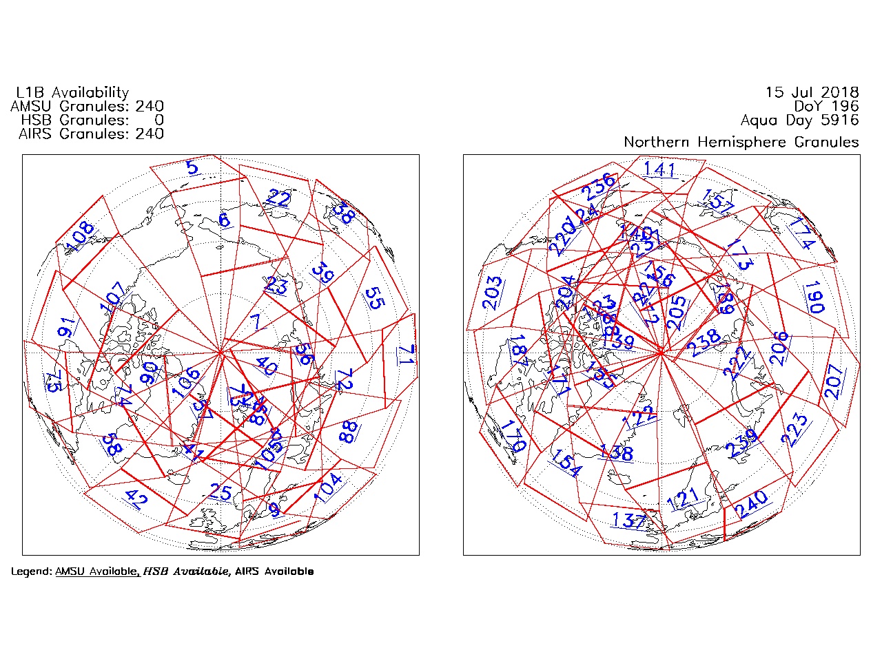
| AIRS.2018.07.15.GranuleMap.North.jpg | 2018-07-16T02:23:31GMT | 544529 |
|
||||||
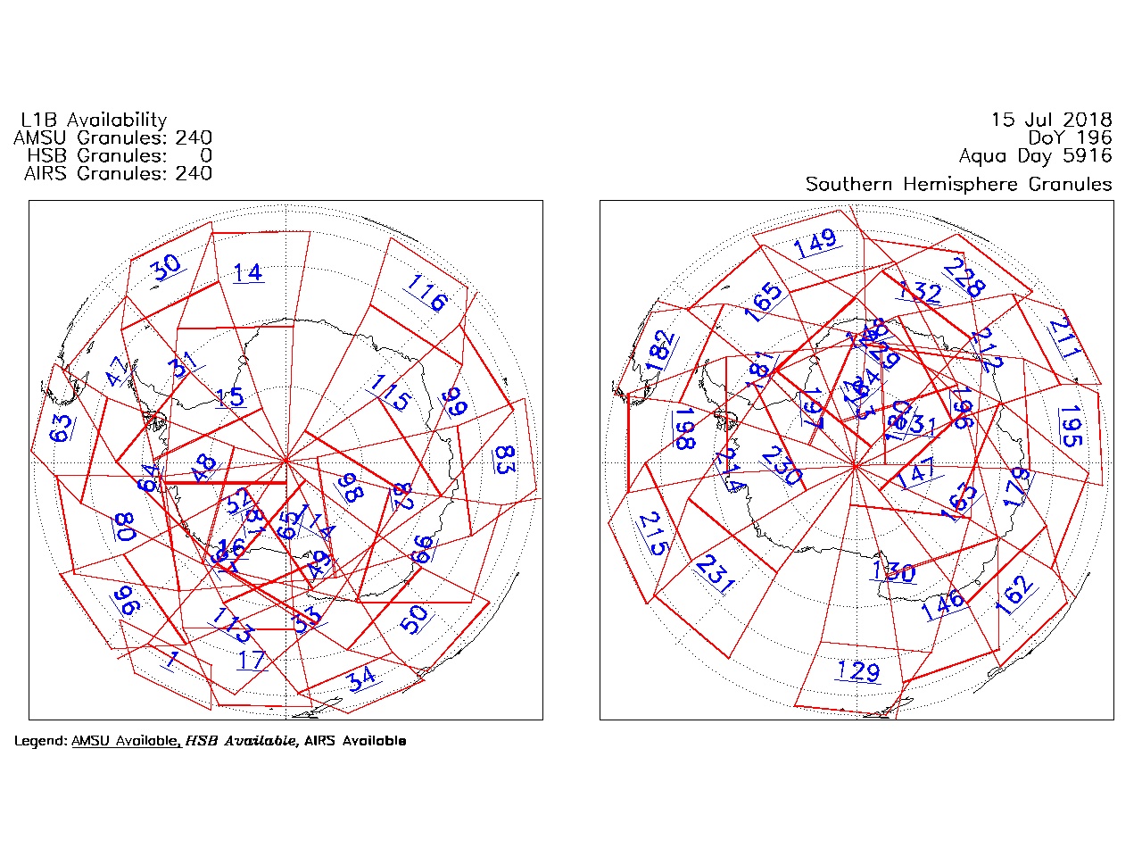
| AIRS.2018.07.15.GranuleMap.South.jpg | 2018-07-16T02:23:31GMT | 486313 |
|
||||||
| AIRS.2018.07.15.GranuleMap.pdf | 2018-07-16T02:23:31GMT | 333344 |
|
||||||
| AIRS.2018.07.15.GranuleMap.xml | 2018-07-16T02:23:31GMT | 2795 |
|
|
THREDDS Catalog XML
|