| Name | Last Modified | Size | DAP Response Links | Dataset Viewers | |||||
|---|---|---|---|---|---|---|---|---|---|
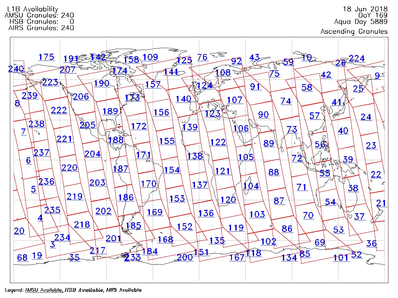
| AIRS.2018.06.18.GranuleMap.Ascending.jpg | 2018-06-19T03:05:41GMT | 655768 |
|
||||||
| AIRS.2018.06.18.GranuleMap.Descending.jpg | 2018-06-19T03:05:41GMT | 618883 |
|
||||||
| AIRS.2018.06.18.GranuleMap.North.jpg | 2018-06-19T03:05:41GMT | 530272 |
|
||||||
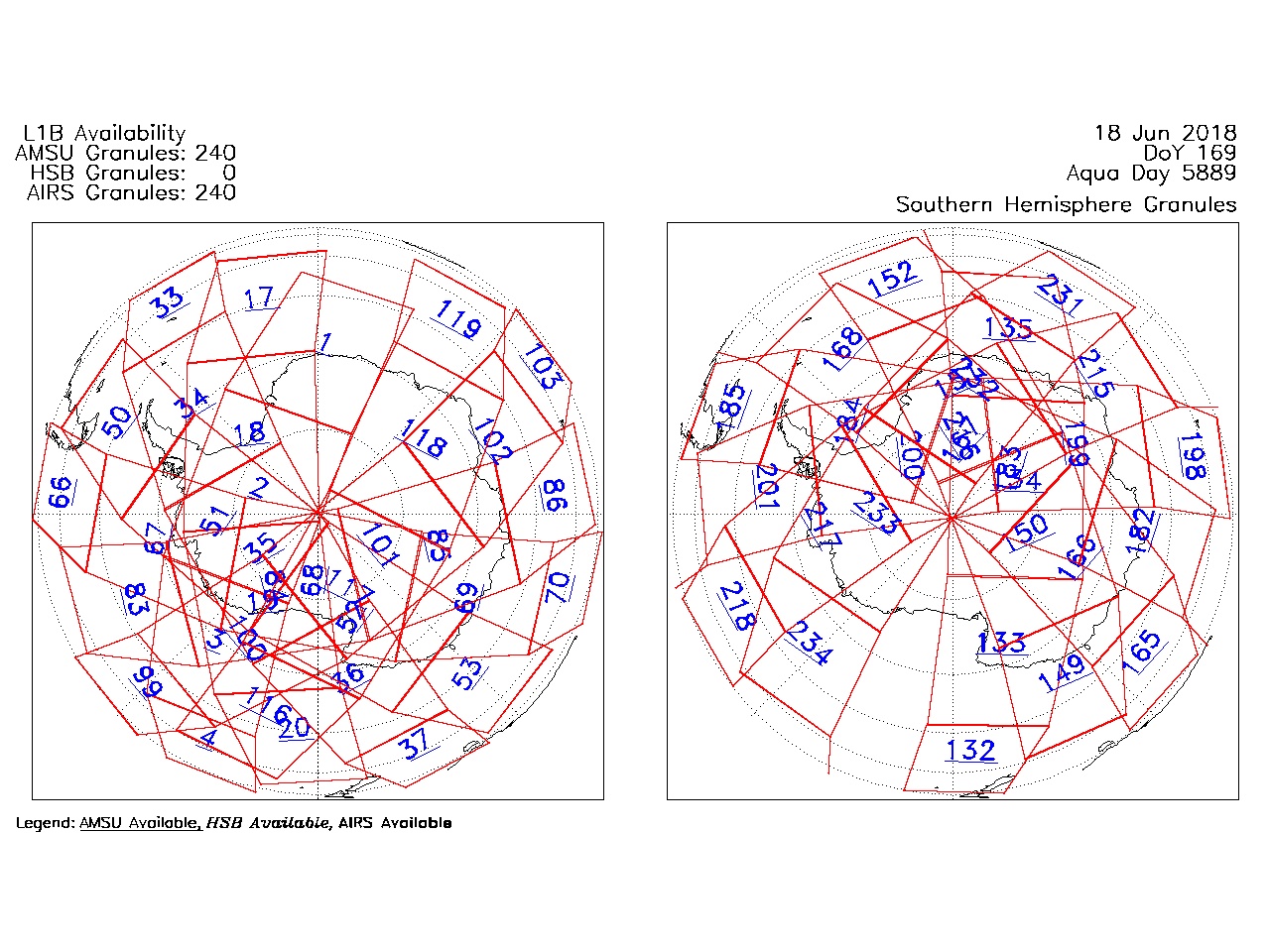
| AIRS.2018.06.18.GranuleMap.South.jpg | 2018-06-19T03:05:41GMT | 500225 |
|
||||||
| AIRS.2018.06.18.GranuleMap.pdf | 2018-06-19T03:05:41GMT | 333209 |
|
||||||
| AIRS.2018.06.18.GranuleMap.xml | 2018-06-19T03:05:41GMT | 2796 |
|
|
THREDDS Catalog XML
|