| Name | Last Modified | Size | DAP Response Links | Dataset Viewers | |||||
|---|---|---|---|---|---|---|---|---|---|
| AIRS.2018.06.17.GranuleMap.Ascending.jpg | 2018-06-18T13:45:59GMT | 622239 |
|
||||||
| AIRS.2018.06.17.GranuleMap.Descending.jpg | 2018-06-18T13:45:59GMT | 661538 |
|
||||||
| AIRS.2018.06.17.GranuleMap.North.jpg | 2018-06-18T13:45:59GMT | 537580 |
|
||||||
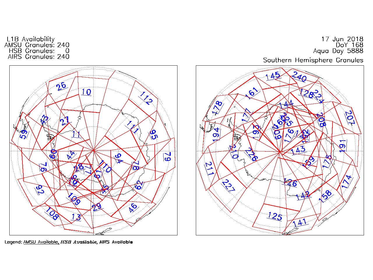
| AIRS.2018.06.17.GranuleMap.South.jpg | 2018-06-18T13:45:59GMT | 492792 |
|
||||||
| AIRS.2018.06.17.GranuleMap.pdf | 2018-06-18T13:45:59GMT | 333557 |
|
||||||
| AIRS.2018.06.17.GranuleMap.xml | 2018-06-18T13:46:00GMT | 2792 |
|
|
THREDDS Catalog XML
|