| Name | Last Modified | Size | DAP Response Links | Dataset Viewers | |||||
|---|---|---|---|---|---|---|---|---|---|
| AIRS.2018.04.23.GranuleMap.Ascending.jpg | 2018-04-24T12:44:10GMT | 618925 |
|
||||||
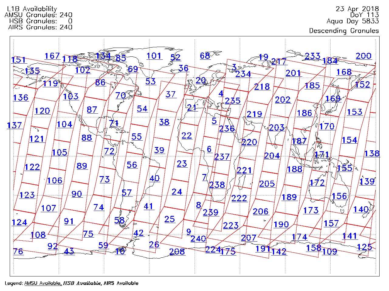
| AIRS.2018.04.23.GranuleMap.Descending.jpg | 2018-04-24T12:44:10GMT | 662534 |
|
||||||
| AIRS.2018.04.23.GranuleMap.North.jpg | 2018-04-24T12:44:10GMT | 535716 |
|
||||||
| AIRS.2018.04.23.GranuleMap.South.jpg | 2018-04-24T12:44:10GMT | 490179 |
|
||||||
| AIRS.2018.04.23.GranuleMap.pdf | 2018-04-24T12:44:10GMT | 333352 |
|
||||||
| AIRS.2018.04.23.GranuleMap.xml | 2018-04-24T12:44:10GMT | 2796 |
|
|
THREDDS Catalog XML
|