| Name | Last Modified | Size | DAP Response Links | Dataset Viewers | |||||
|---|---|---|---|---|---|---|---|---|---|
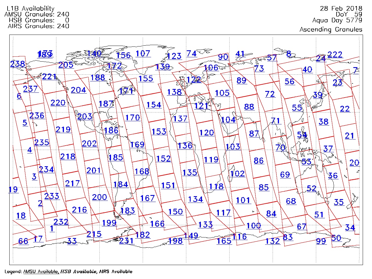
| AIRS.2018.02.28.GranuleMap.Ascending.jpg | 2018-03-01T02:51:48GMT | 656213 |
|
||||||
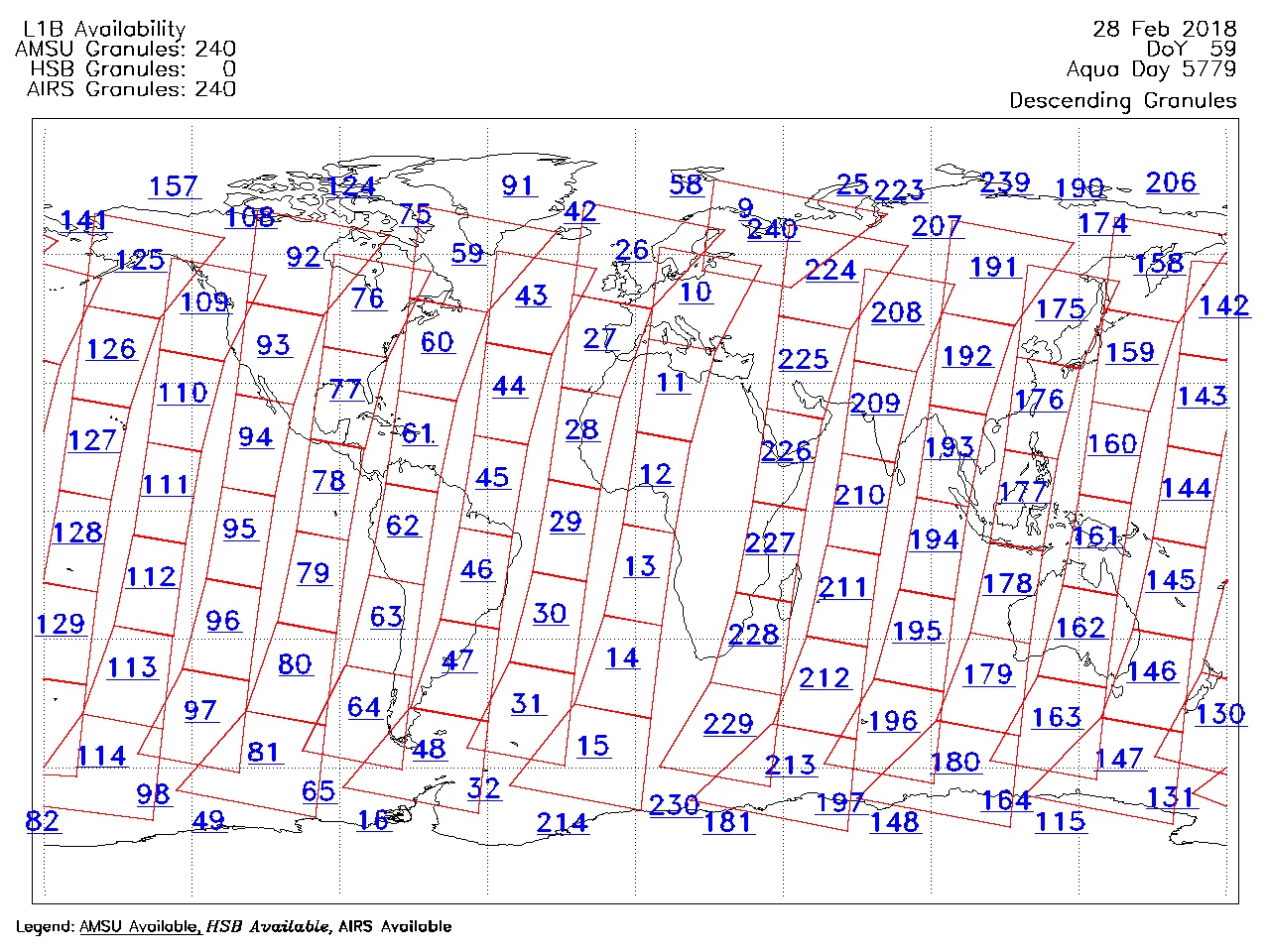
| AIRS.2018.02.28.GranuleMap.Descending.jpg | 2018-03-01T02:51:48GMT | 625811 |
|
||||||
| AIRS.2018.02.28.GranuleMap.North.jpg | 2018-03-01T02:51:48GMT | 539020 |
|
||||||
| AIRS.2018.02.28.GranuleMap.South.jpg | 2018-03-01T02:51:48GMT | 490742 |
|
||||||
| AIRS.2018.02.28.GranuleMap.pdf | 2018-03-01T02:51:48GMT | 333273 |
|
||||||
| AIRS.2018.02.28.GranuleMap.xml | 2018-03-01T02:51:48GMT | 2795 |
|
|
THREDDS Catalog XML
|