| Name | Last Modified | Size | DAP Response Links | Dataset Viewers | |||||
|---|---|---|---|---|---|---|---|---|---|
| AIRS.2009.11.04.GranuleMap.Ascending.jpg | 2012-06-20T14:41:42GMT | 635808 |
|
||||||
| AIRS.2009.11.04.GranuleMap.Descending.jpg | 2012-06-20T14:41:42GMT | 637310 |
|
||||||
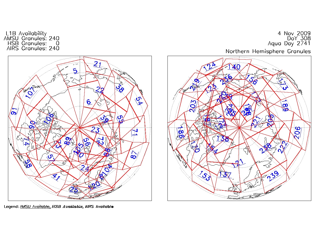
| AIRS.2009.11.04.GranuleMap.North.jpg | 2012-06-20T14:41:42GMT | 537441 |
|
||||||
| AIRS.2009.11.04.GranuleMap.South.jpg | 2012-06-20T14:41:42GMT | 494407 |
|
||||||
| AIRS.2009.11.04.GranuleMap.pdf | 2012-06-20T14:41:42GMT | 333243 |
|
||||||
| AIRS.2009.11.04.GranuleMap.xml | 2012-06-20T14:41:42GMT | 2535 |
|
|
THREDDS Catalog XML
|