| Name | Last Modified | Size | DAP Response Links | Dataset Viewers | |||||
|---|---|---|---|---|---|---|---|---|---|
| AIRS.2009.10.20.GranuleMap.Ascending.jpg | 2012-06-20T14:41:17GMT | 648026 |
|
||||||
| AIRS.2009.10.20.GranuleMap.Descending.jpg | 2012-06-20T14:41:17GMT | 637392 |
|
||||||
| AIRS.2009.10.20.GranuleMap.North.jpg | 2012-06-20T14:41:17GMT | 525364 |
|
||||||
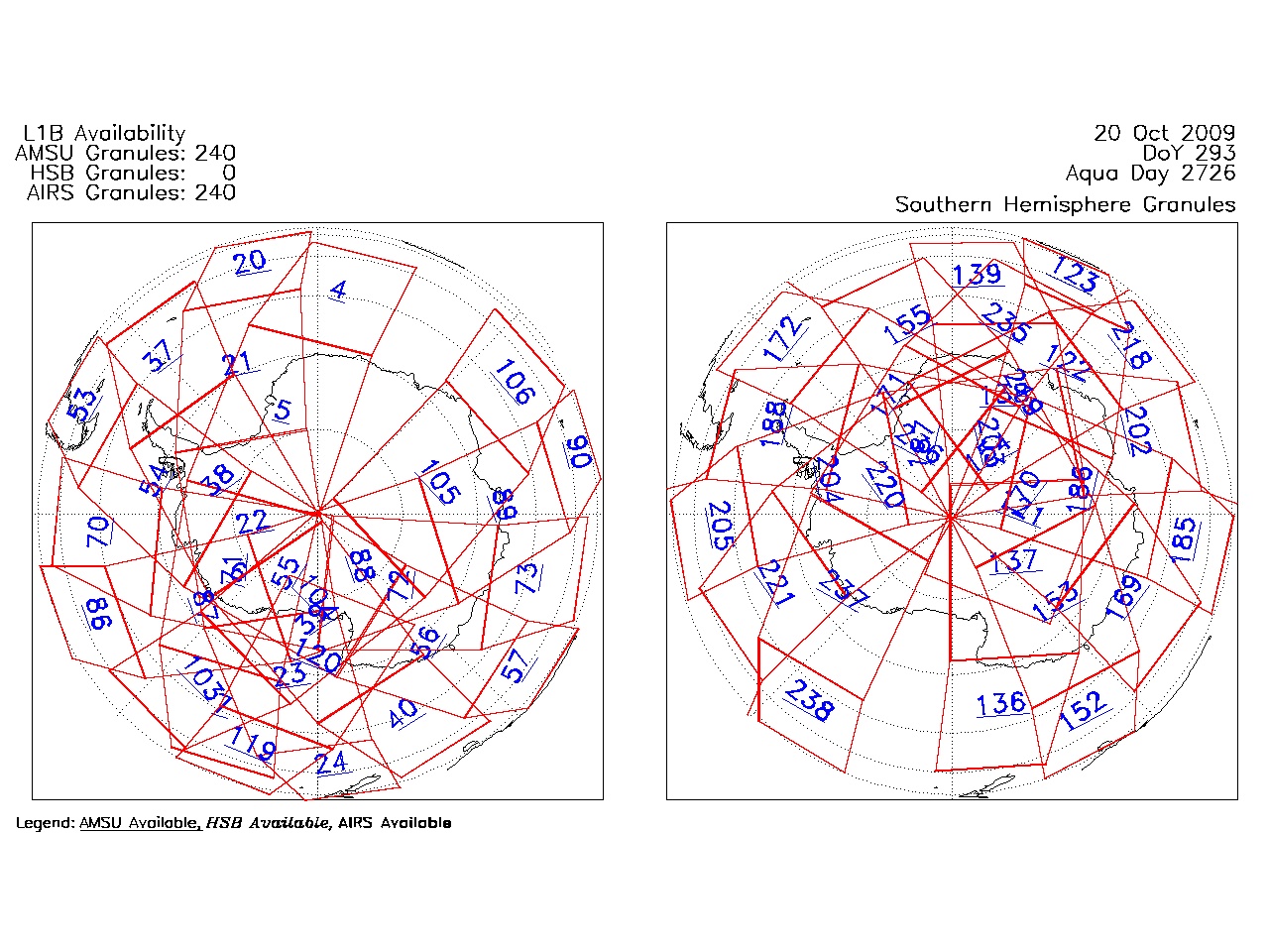
| AIRS.2009.10.20.GranuleMap.South.jpg | 2012-06-20T14:41:17GMT | 502011 |
|
||||||
| AIRS.2009.10.20.GranuleMap.pdf | 2012-06-20T14:41:16GMT | 332974 |
|
||||||
| AIRS.2009.10.20.GranuleMap.xml | 2012-06-20T14:41:17GMT | 2533 |
|
|
THREDDS Catalog XML
|