| Name | Last Modified | Size | DAP Response Links | Dataset Viewers | |||||
|---|---|---|---|---|---|---|---|---|---|
| AIRS.2009.10.10.GranuleMap.Ascending.jpg | 2012-06-20T14:41:01GMT | 642216 |
|
||||||
| AIRS.2009.10.10.GranuleMap.Descending.jpg | 2012-06-20T14:41:01GMT | 640437 |
|
||||||
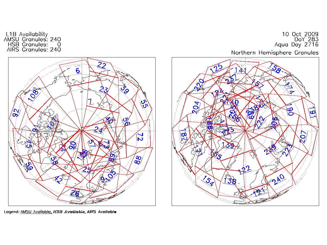
| AIRS.2009.10.10.GranuleMap.North.jpg | 2012-06-20T14:41:01GMT | 540652 |
|
||||||
| AIRS.2009.10.10.GranuleMap.South.jpg | 2012-06-20T14:41:01GMT | 489832 |
|
||||||
| AIRS.2009.10.10.GranuleMap.pdf | 2012-06-20T14:41:01GMT | 333432 |
|
||||||
| AIRS.2009.10.10.GranuleMap.xml | 2012-06-20T14:41:01GMT | 2530 |
|
|
THREDDS Catalog XML
|