| Name | Last Modified | Size | DAP Response Links | Dataset Viewers | |||||
|---|---|---|---|---|---|---|---|---|---|
| AIRS.2009.09.25.GranuleMap.Ascending.jpg | 2012-06-20T14:40:36GMT | 643892 |
|
||||||
| AIRS.2009.09.25.GranuleMap.Descending.jpg | 2012-06-20T14:40:36GMT | 638217 |
|
||||||
| AIRS.2009.09.25.GranuleMap.North.jpg | 2012-06-20T14:40:36GMT | 520796 |
|
||||||
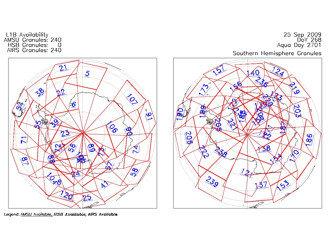
| AIRS.2009.09.25.GranuleMap.South.jpg | 2012-06-20T14:40:36GMT | 507127 |
|
||||||
| AIRS.2009.09.25.GranuleMap.pdf | 2012-06-20T14:40:36GMT | 333266 |
|
||||||
| AIRS.2009.09.25.GranuleMap.xml | 2012-06-20T14:40:36GMT | 2533 |
|
|
THREDDS Catalog XML
|