| Name | Last Modified | Size | DAP Response Links | Dataset Viewers | |||||
|---|---|---|---|---|---|---|---|---|---|
| AIRS.2009.09.13.GranuleMap.Ascending.jpg | 2012-06-20T14:40:16GMT | 658077 |
|
||||||
| AIRS.2009.09.13.GranuleMap.Descending.jpg | 2012-06-20T14:40:16GMT | 626740 |
|
||||||
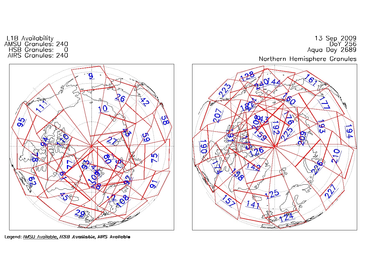
| AIRS.2009.09.13.GranuleMap.North.jpg | 2012-06-20T14:40:16GMT | 530115 |
|
||||||
| AIRS.2009.09.13.GranuleMap.South.jpg | 2012-06-20T14:40:16GMT | 499840 |
|
||||||
| AIRS.2009.09.13.GranuleMap.pdf | 2012-06-20T14:40:16GMT | 333387 |
|
||||||
| AIRS.2009.09.13.GranuleMap.xml | 2012-06-20T14:40:16GMT | 2535 |
|
|
THREDDS Catalog XML
|