| Name | Last Modified | Size | DAP Response Links | Dataset Viewers | |||||
|---|---|---|---|---|---|---|---|---|---|
| AIRS.2009.09.07.GranuleMap.Ascending.jpg | 2012-06-20T14:40:05GMT | 630134 |
|
||||||
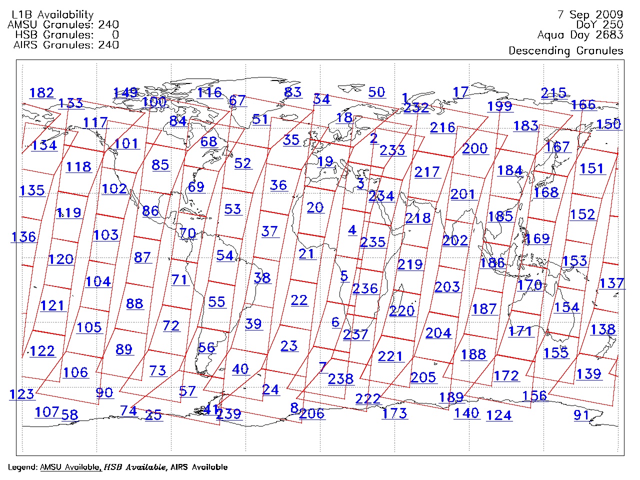
| AIRS.2009.09.07.GranuleMap.Descending.jpg | 2012-06-20T14:40:05GMT | 649248 |
|
||||||
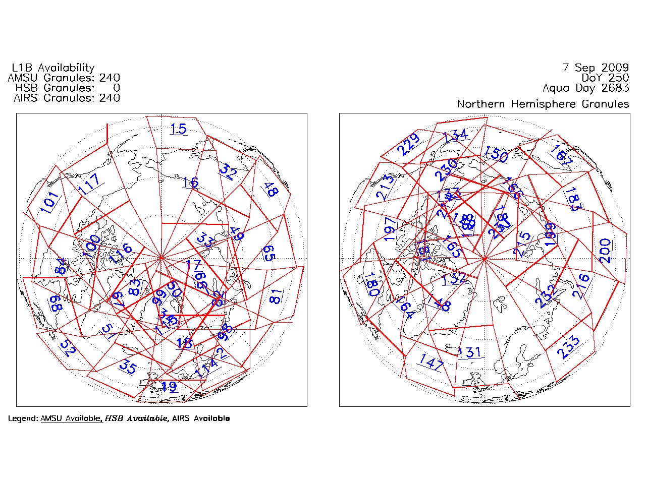
| AIRS.2009.09.07.GranuleMap.North.jpg | 2012-06-20T14:40:06GMT | 524493 |
|
||||||
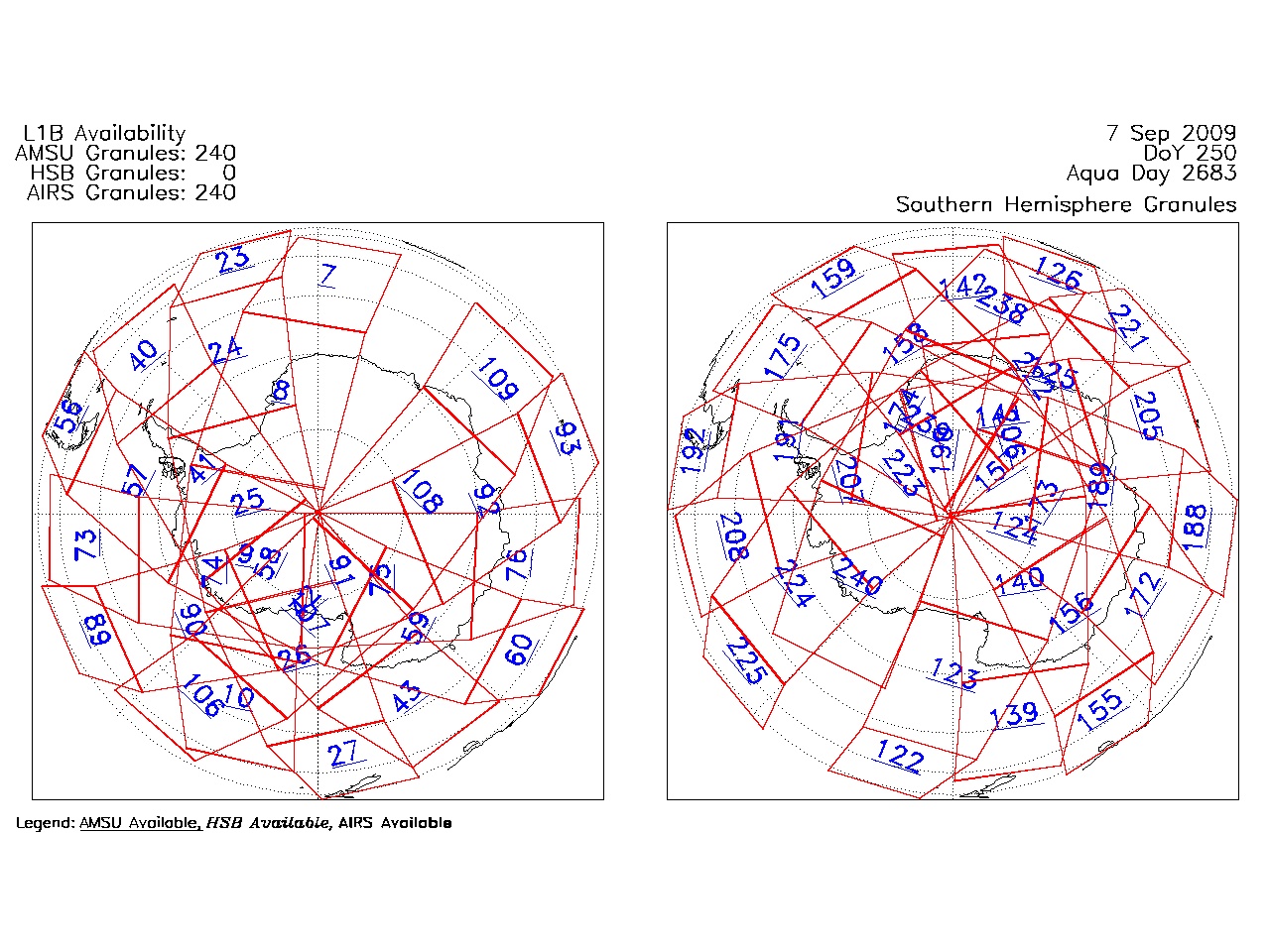
| AIRS.2009.09.07.GranuleMap.South.jpg | 2012-06-20T14:40:06GMT | 502558 |
|
||||||
| AIRS.2009.09.07.GranuleMap.pdf | 2012-06-20T14:40:05GMT | 333213 |
|
||||||
| AIRS.2009.09.07.GranuleMap.xml | 2012-06-20T14:40:06GMT | 2535 |
|
|
THREDDS Catalog XML
|