| Name | Last Modified | Size | DAP Response Links | Dataset Viewers | |||||
|---|---|---|---|---|---|---|---|---|---|
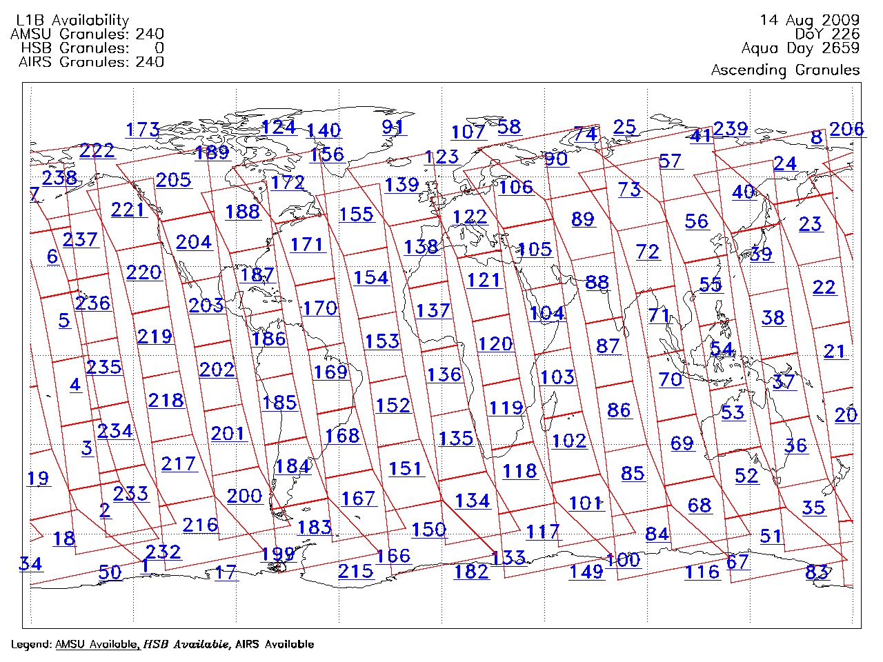
| AIRS.2009.08.14.GranuleMap.Ascending.jpg | 2012-06-12T11:46:06GMT | 653965 |
|
||||||
| AIRS.2009.08.14.GranuleMap.Descending.jpg | 2012-06-12T11:46:06GMT | 631896 |
|
||||||
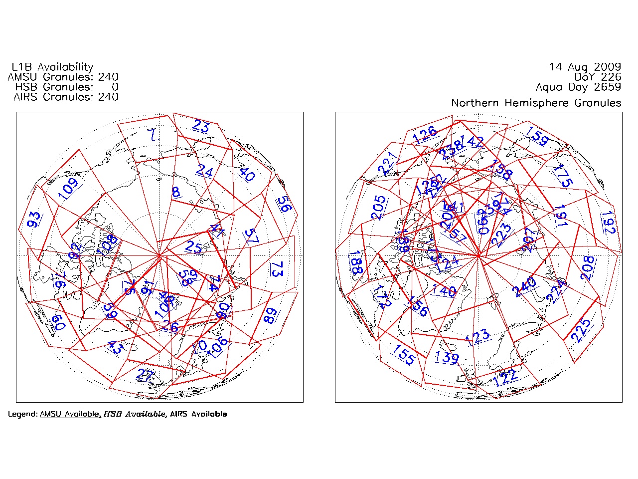
| AIRS.2009.08.14.GranuleMap.North.jpg | 2012-06-12T11:46:06GMT | 536259 |
|
||||||
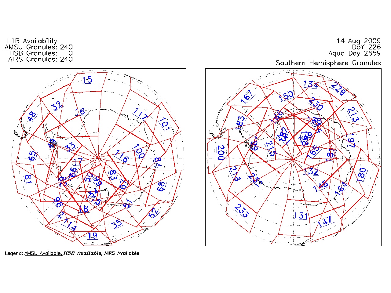
| AIRS.2009.08.14.GranuleMap.South.jpg | 2012-06-12T11:46:07GMT | 491266 |
|
||||||
| AIRS.2009.08.14.GranuleMap.pdf | 2012-06-12T11:46:06GMT | 333340 |
|
||||||
| AIRS.2009.08.14.GranuleMap.xml | 2012-06-12T11:46:07GMT | 2533 |
|
|
THREDDS Catalog XML
|