| Name | Last Modified | Size | DAP Response Links | Dataset Viewers | |||||
|---|---|---|---|---|---|---|---|---|---|
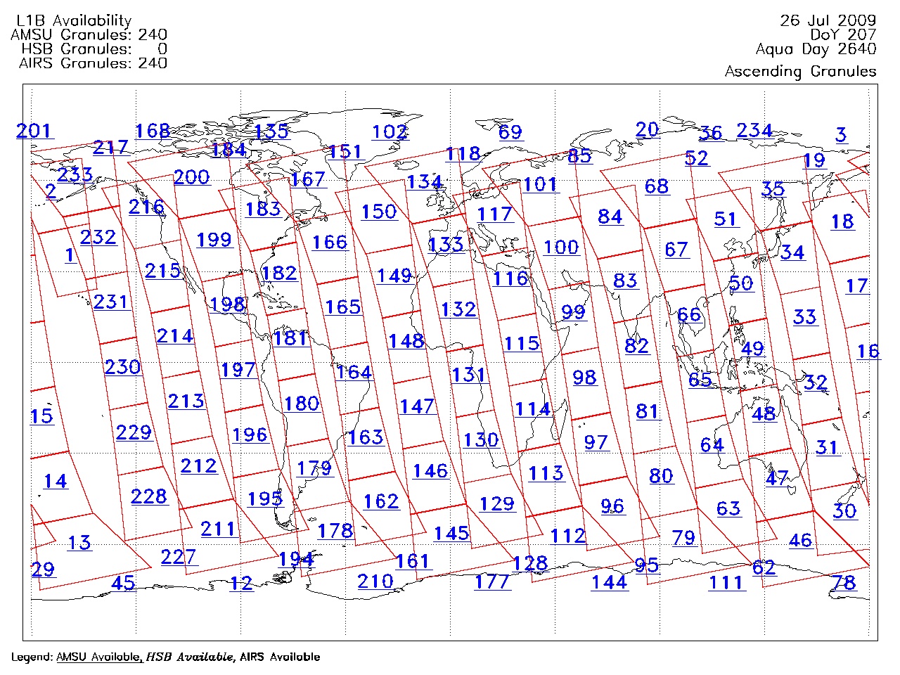
| AIRS.2009.07.26.GranuleMap.Ascending.jpg | 2012-06-12T11:45:36GMT | 630438 |
|
||||||
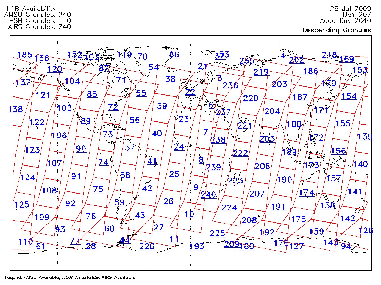
| AIRS.2009.07.26.GranuleMap.Descending.jpg | 2012-06-12T11:45:37GMT | 652767 |
|
||||||
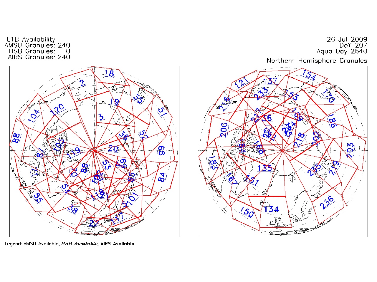
| AIRS.2009.07.26.GranuleMap.North.jpg | 2012-06-12T11:45:37GMT | 538608 |
|
||||||
| AIRS.2009.07.26.GranuleMap.South.jpg | 2012-06-12T11:45:37GMT | 488086 |
|
||||||
| AIRS.2009.07.26.GranuleMap.pdf | 2012-06-12T11:45:36GMT | 333169 |
|
||||||
| AIRS.2009.07.26.GranuleMap.xml | 2012-06-12T11:45:37GMT | 2535 |
|
|
THREDDS Catalog XML
|