| Name | Last Modified | Size | DAP Response Links | Dataset Viewers | |||||
|---|---|---|---|---|---|---|---|---|---|
| AIRS.2009.06.25.GranuleMap.Ascending.jpg | 2012-06-12T11:44:46GMT | 653882 |
|
||||||
| AIRS.2009.06.25.GranuleMap.Descending.jpg | 2012-06-12T11:44:46GMT | 626607 |
|
||||||
| AIRS.2009.06.25.GranuleMap.North.jpg | 2012-06-12T11:44:46GMT | 524046 |
|
||||||
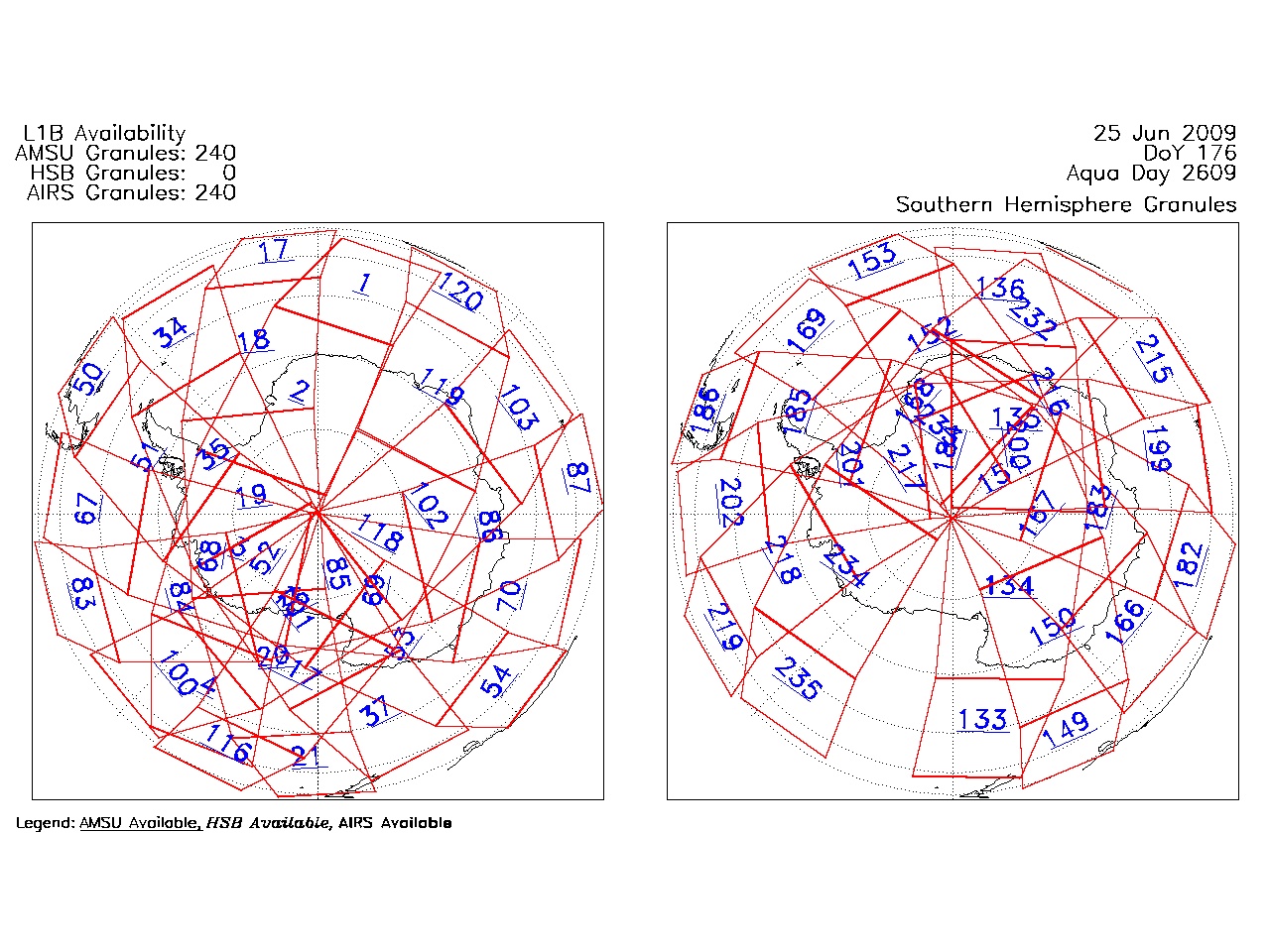
| AIRS.2009.06.25.GranuleMap.South.jpg | 2012-06-12T11:44:46GMT | 507805 |
|
||||||
| AIRS.2009.06.25.GranuleMap.pdf | 2012-06-12T11:44:46GMT | 333186 |
|
||||||
| AIRS.2009.06.25.GranuleMap.xml | 2012-06-12T11:44:46GMT | 2534 |
|
|
THREDDS Catalog XML
|