| Name | Last Modified | Size | DAP Response Links | Dataset Viewers | |||||
|---|---|---|---|---|---|---|---|---|---|
| AIRS.2009.06.18.GranuleMap.Ascending.jpg | 2012-06-12T11:44:31GMT | 654114 |
|
||||||
| AIRS.2009.06.18.GranuleMap.Descending.jpg | 2012-06-12T11:44:31GMT | 624949 |
|
||||||
| AIRS.2009.06.18.GranuleMap.North.jpg | 2012-06-12T11:44:31GMT | 525316 |
|
||||||
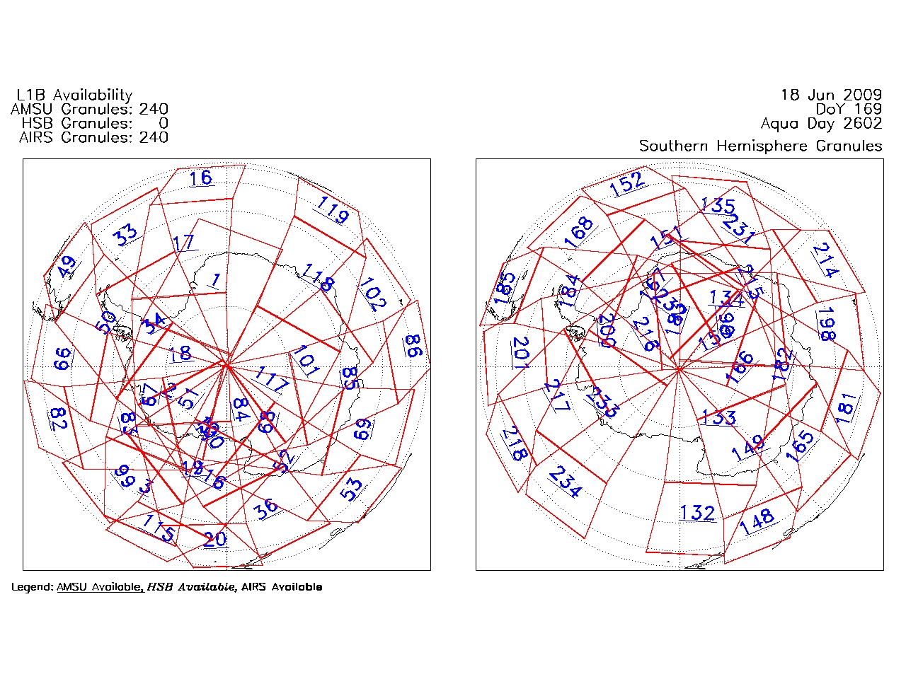
| AIRS.2009.06.18.GranuleMap.South.jpg | 2012-06-12T11:44:31GMT | 504216 |
|
||||||
| AIRS.2009.06.18.GranuleMap.pdf | 2012-06-12T11:44:31GMT | 333191 |
|
||||||
| AIRS.2009.06.18.GranuleMap.xml | 2012-06-12T11:44:31GMT | 2535 |
|
|
THREDDS Catalog XML
|