| Name | Last Modified | Size | DAP Response Links | Dataset Viewers | |||||
|---|---|---|---|---|---|---|---|---|---|
| AIRS.2009.06.06.GranuleMap.Ascending.jpg | 2012-06-11T12:30:49GMT | 649745 |
|
||||||
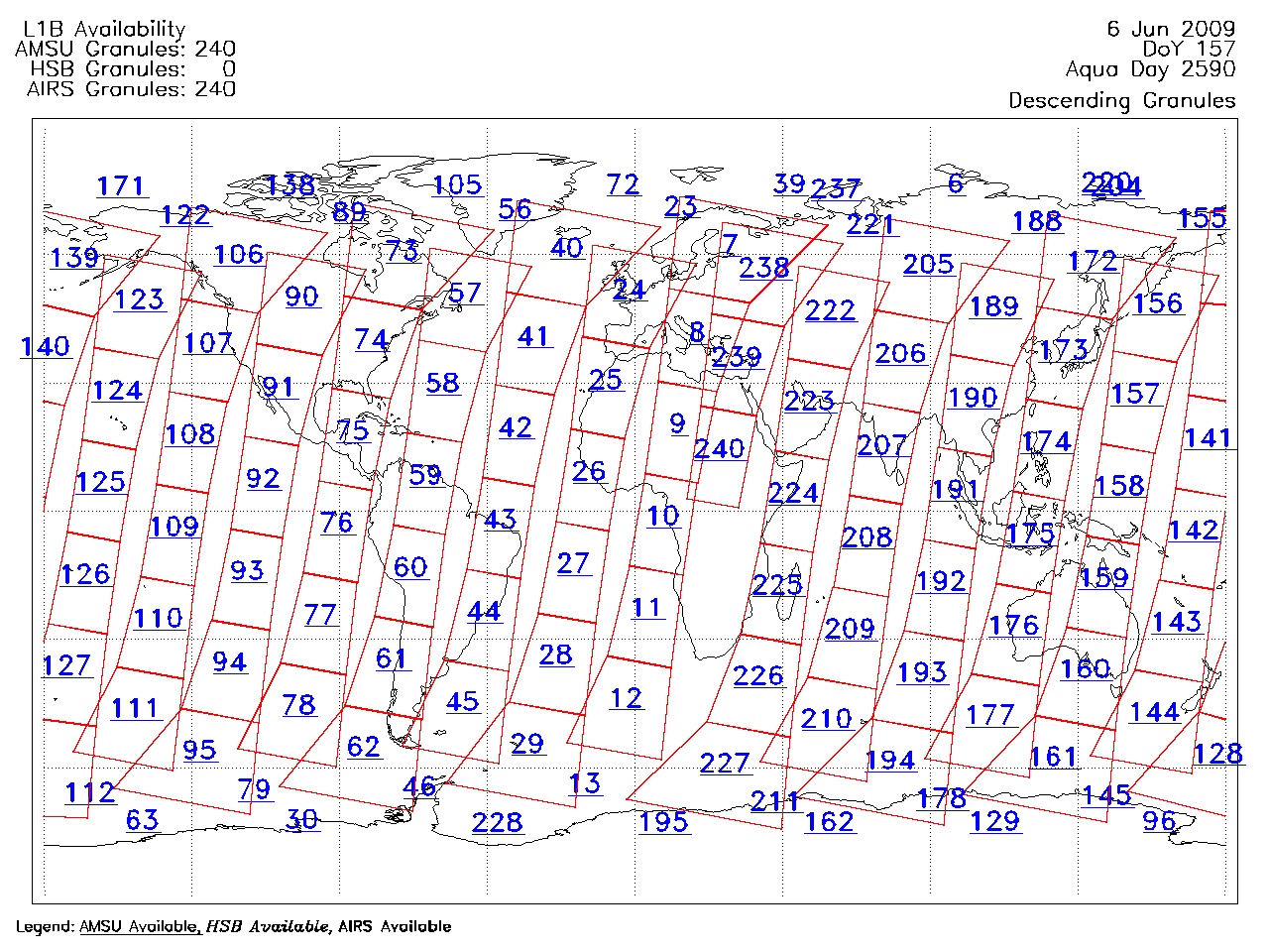
| AIRS.2009.06.06.GranuleMap.Descending.jpg | 2012-06-11T12:30:49GMT | 628291 |
|
||||||
| AIRS.2009.06.06.GranuleMap.North.jpg | 2012-06-11T12:30:49GMT | 536407 |
|
||||||
| AIRS.2009.06.06.GranuleMap.South.jpg | 2012-06-11T12:30:49GMT | 488778 |
|
||||||
| AIRS.2009.06.06.GranuleMap.pdf | 2012-06-11T12:30:48GMT | 333098 |
|
||||||
| AIRS.2009.06.06.GranuleMap.xml | 2012-06-11T12:30:49GMT | 2535 |
|
|
THREDDS Catalog XML
|