| Name | Last Modified | Size | DAP Response Links | Dataset Viewers | |||||
|---|---|---|---|---|---|---|---|---|---|
| AIRS.2009.03.28.GranuleMap.Ascending.jpg | 2012-06-07T12:37:21GMT | 638541 |
|
||||||
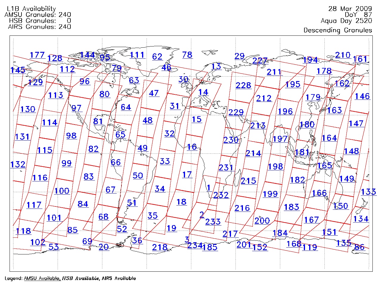
| AIRS.2009.03.28.GranuleMap.Descending.jpg | 2012-06-07T12:37:21GMT | 643030 |
|
||||||
| AIRS.2009.03.28.GranuleMap.North.jpg | 2012-06-07T12:37:22GMT | 528634 |
|
||||||
| AIRS.2009.03.28.GranuleMap.South.jpg | 2012-06-07T12:37:22GMT | 501482 |
|
||||||
| AIRS.2009.03.28.GranuleMap.pdf | 2012-06-07T12:37:21GMT | 333174 |
|
||||||
| AIRS.2009.03.28.GranuleMap.xml | 2012-06-07T12:37:22GMT | 2534 |
|
|
THREDDS Catalog XML
|