| Name | Last Modified | Size | DAP Response Links | Dataset Viewers | |||||
|---|---|---|---|---|---|---|---|---|---|
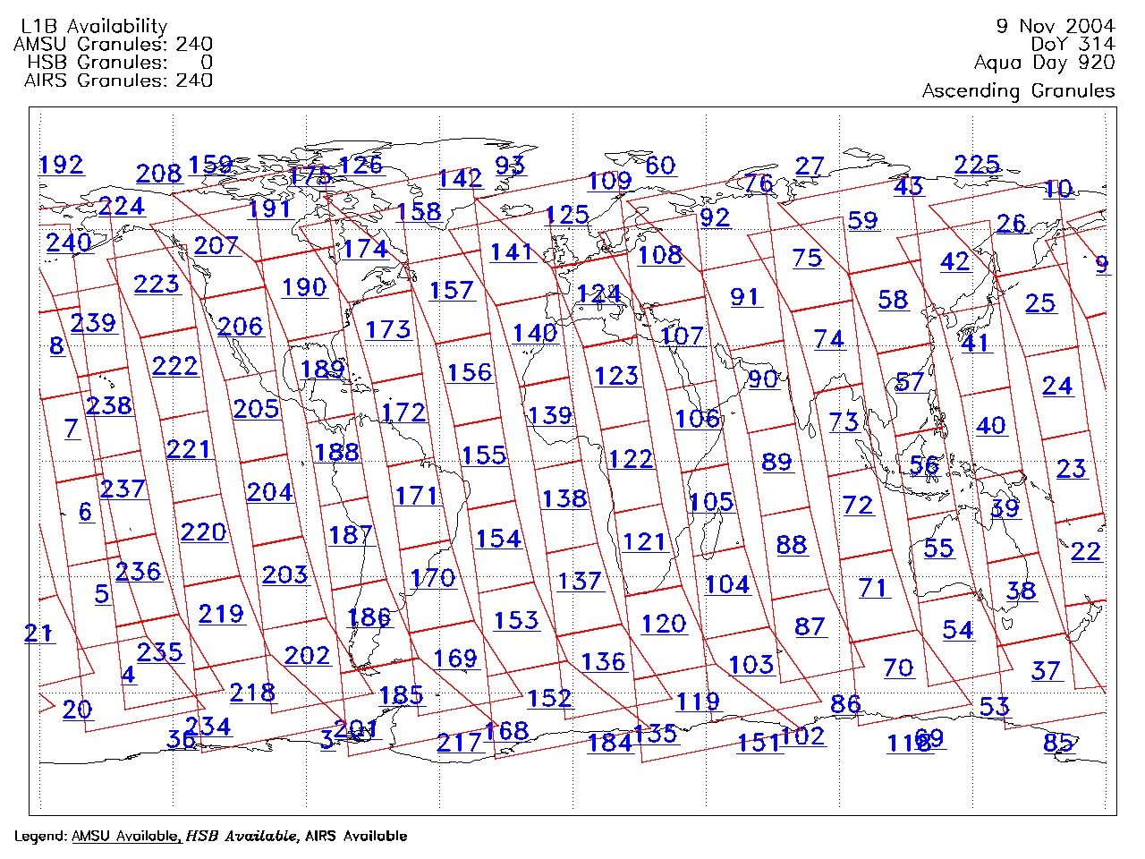
| AIRS.2004.11.09.GranuleMap.Ascending.jpg | 2012-06-06T18:07:38GMT | 657144 |
|
||||||
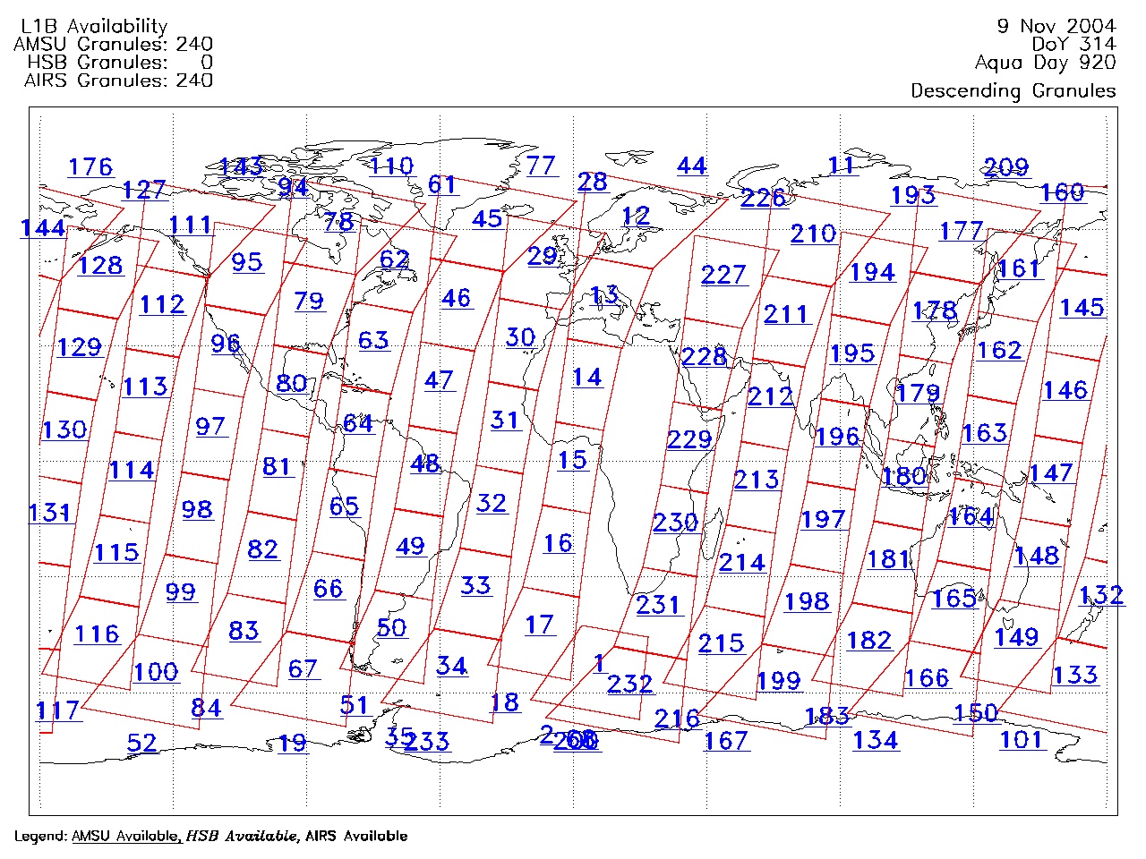
| AIRS.2004.11.09.GranuleMap.Descending.jpg | 2012-06-06T18:07:38GMT | 623143 |
|
||||||
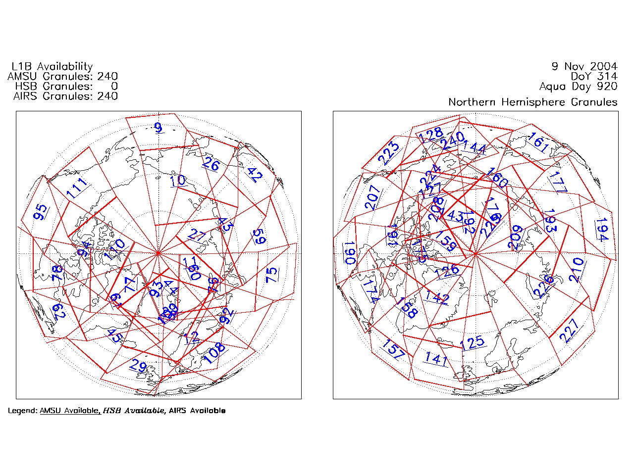
| AIRS.2004.11.09.GranuleMap.North.jpg | 2012-06-06T18:07:38GMT | 523446 |
|
||||||
| AIRS.2004.11.09.GranuleMap.South.jpg | 2012-06-06T18:07:38GMT | 506979 |
|
||||||
| AIRS.2004.11.09.GranuleMap.pdf | 2012-06-06T18:07:38GMT | 332954 |
|
||||||
| AIRS.2004.11.09.GranuleMap.xml | 2012-06-06T18:07:38GMT | 2533 |
|
|
THREDDS Catalog XML
|