| Name | Last Modified | Size | DAP Response Links | Dataset Viewers | |||||
|---|---|---|---|---|---|---|---|---|---|
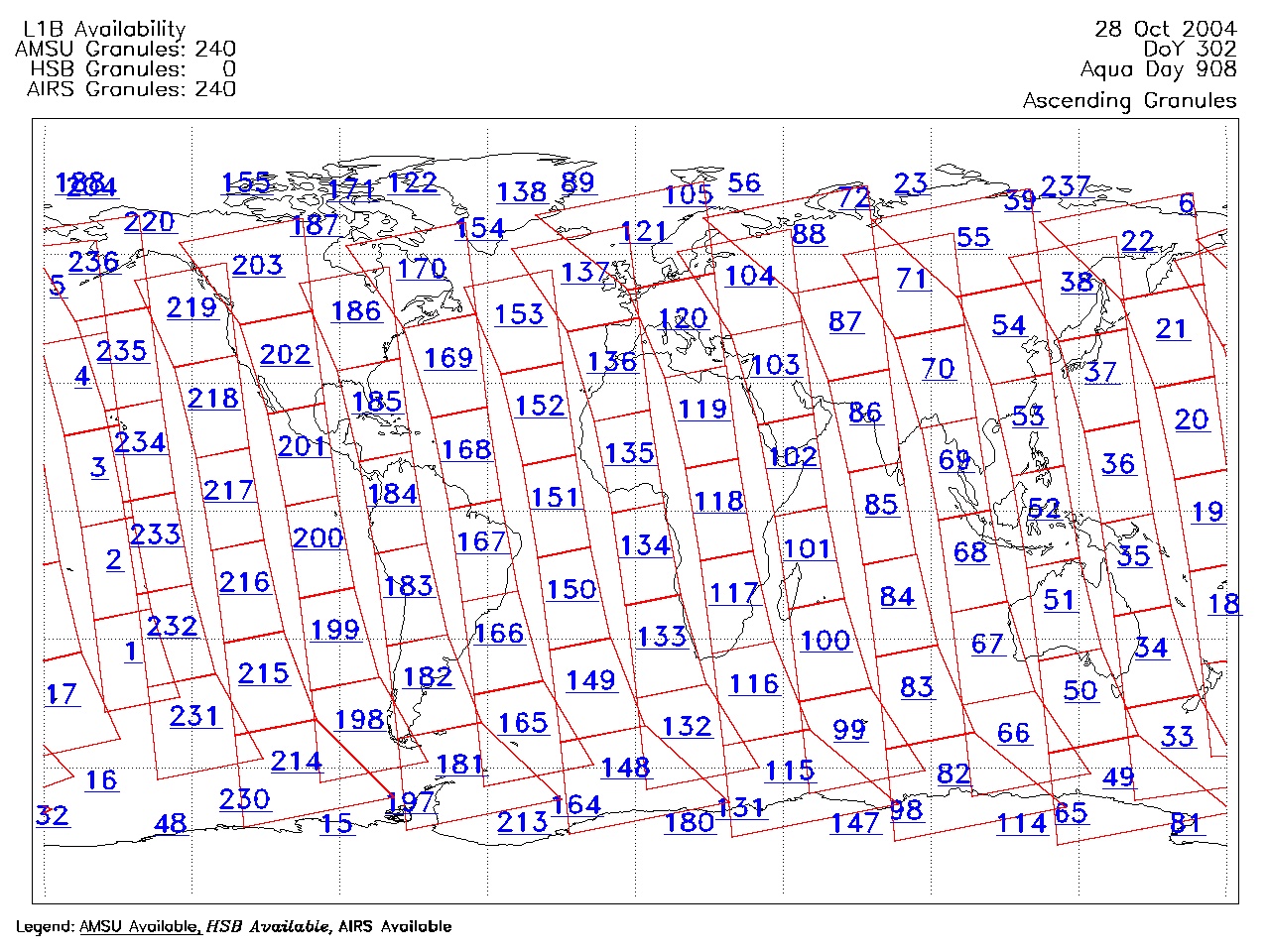
| AIRS.2004.10.28.GranuleMap.Ascending.jpg | 2012-06-06T18:07:17GMT | 651235 |
|
||||||
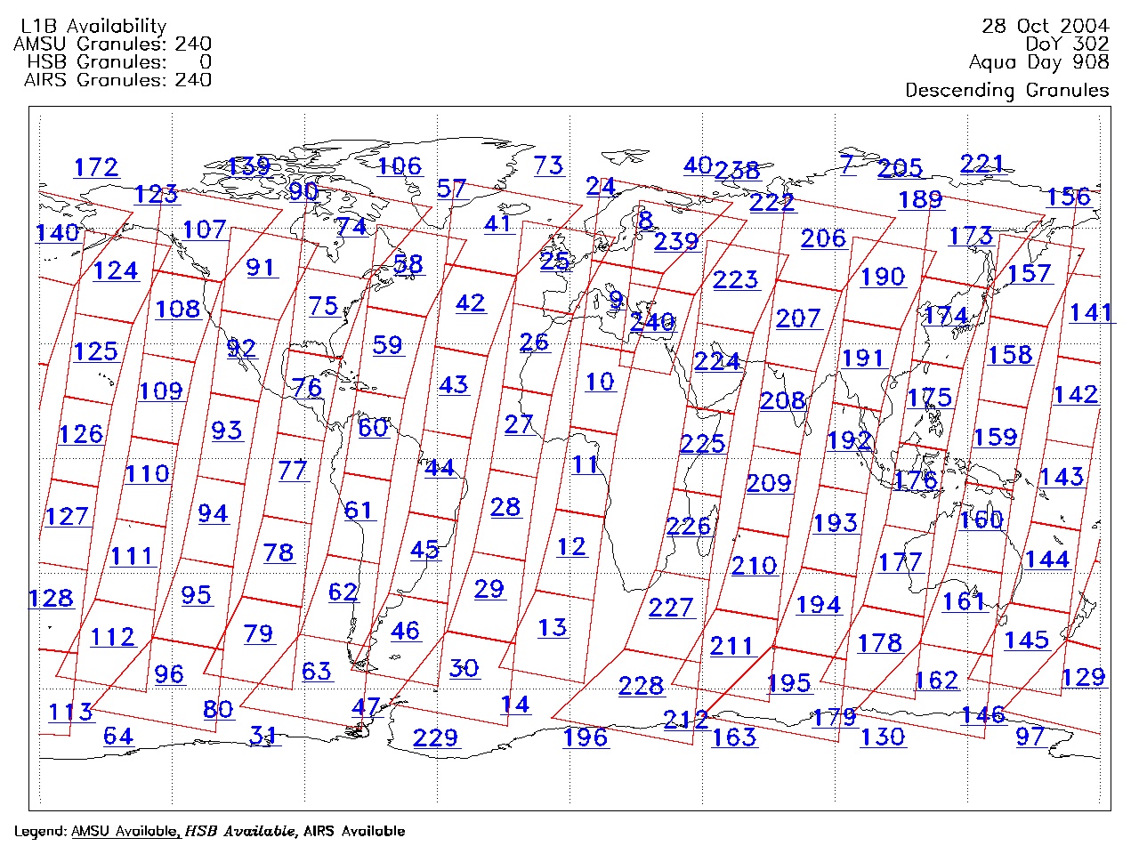
| AIRS.2004.10.28.GranuleMap.Descending.jpg | 2012-06-06T18:07:17GMT | 627714 |
|
||||||
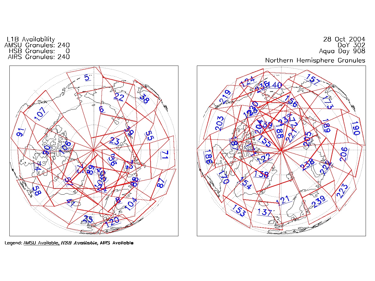
| AIRS.2004.10.28.GranuleMap.North.jpg | 2012-06-06T18:07:18GMT | 537502 |
|
||||||
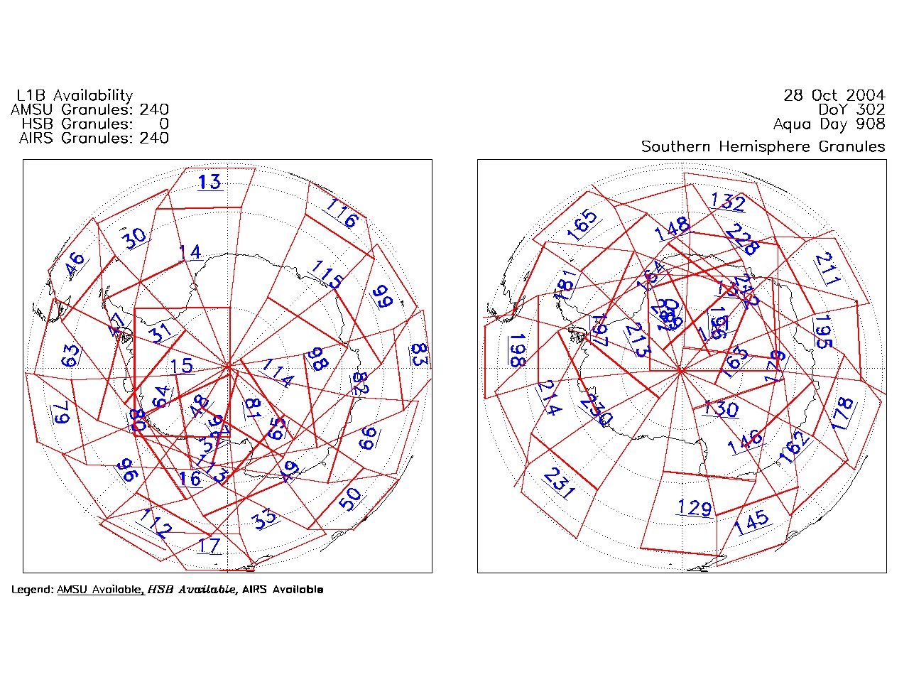
| AIRS.2004.10.28.GranuleMap.South.jpg | 2012-06-06T18:07:18GMT | 486005 |
|
||||||
| AIRS.2004.10.28.GranuleMap.pdf | 2012-06-06T18:07:17GMT | 333085 |
|
||||||
| AIRS.2004.10.28.GranuleMap.xml | 2012-06-06T18:07:18GMT | 2535 |
|
|
THREDDS Catalog XML
|