| Name | Last Modified | Size | DAP Response Links | Dataset Viewers | |||||
|---|---|---|---|---|---|---|---|---|---|
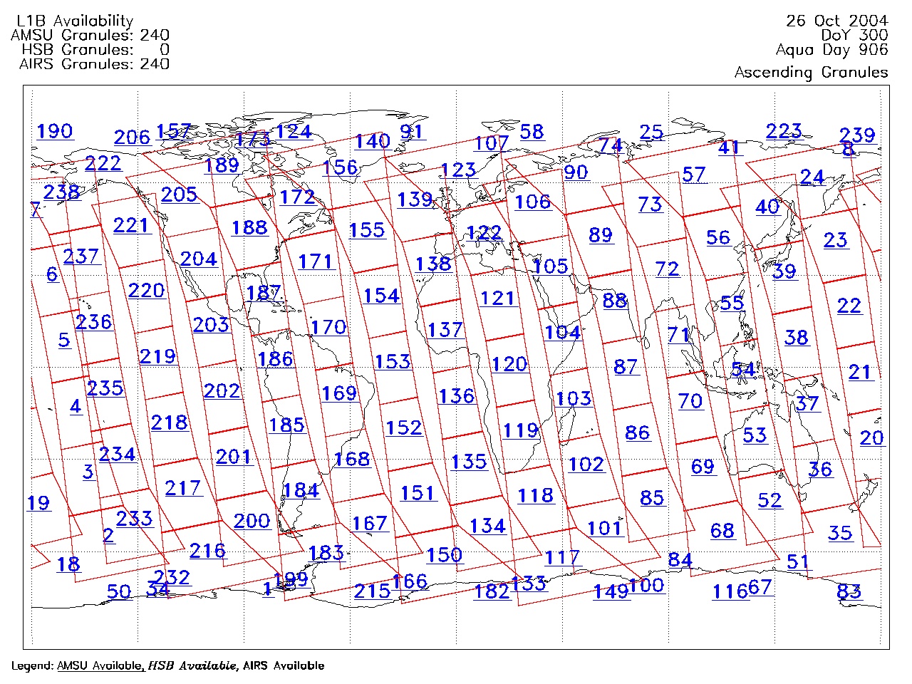
| AIRS.2004.10.26.GranuleMap.Ascending.jpg | 2012-06-06T18:07:17GMT | 656865 |
|
||||||
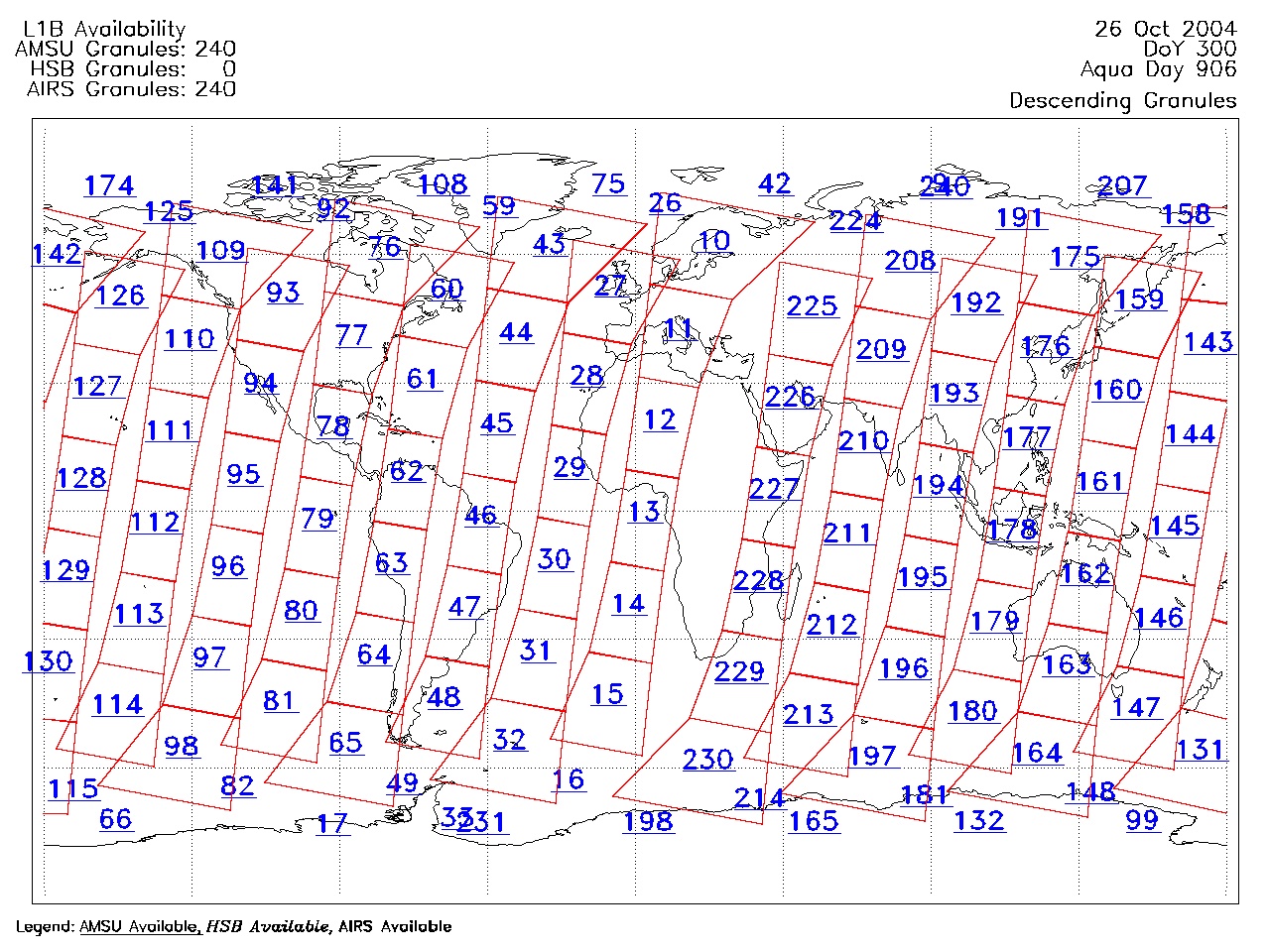
| AIRS.2004.10.26.GranuleMap.Descending.jpg | 2012-06-06T18:07:17GMT | 618447 |
|
||||||
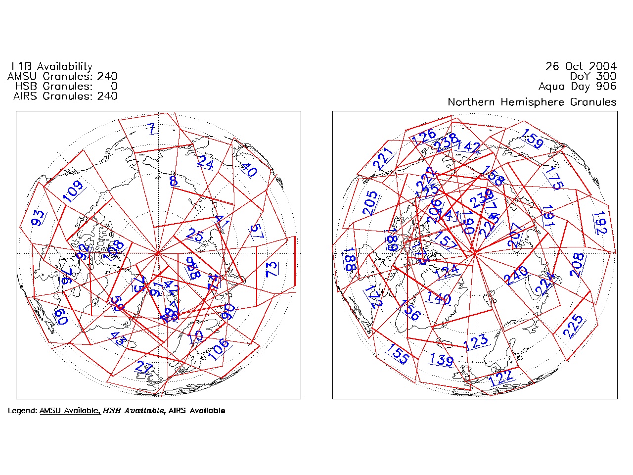
| AIRS.2004.10.26.GranuleMap.North.jpg | 2012-06-06T18:07:18GMT | 530535 |
|
||||||
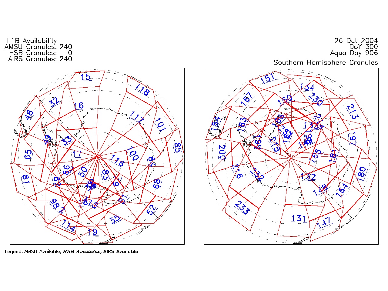
| AIRS.2004.10.26.GranuleMap.South.jpg | 2012-06-06T18:07:18GMT | 497455 |
|
||||||
| AIRS.2004.10.26.GranuleMap.pdf | 2012-06-06T18:07:17GMT | 333203 |
|
||||||
| AIRS.2004.10.26.GranuleMap.xml | 2012-06-06T18:07:18GMT | 2534 |
|
|
THREDDS Catalog XML
|