| Name | Last Modified | Size | DAP Response Links | Dataset Viewers | |||||
|---|---|---|---|---|---|---|---|---|---|
| AIRS.2004.10.15.GranuleMap.Ascending.jpg | 2012-06-06T18:06:57GMT | 647845 |
|
||||||
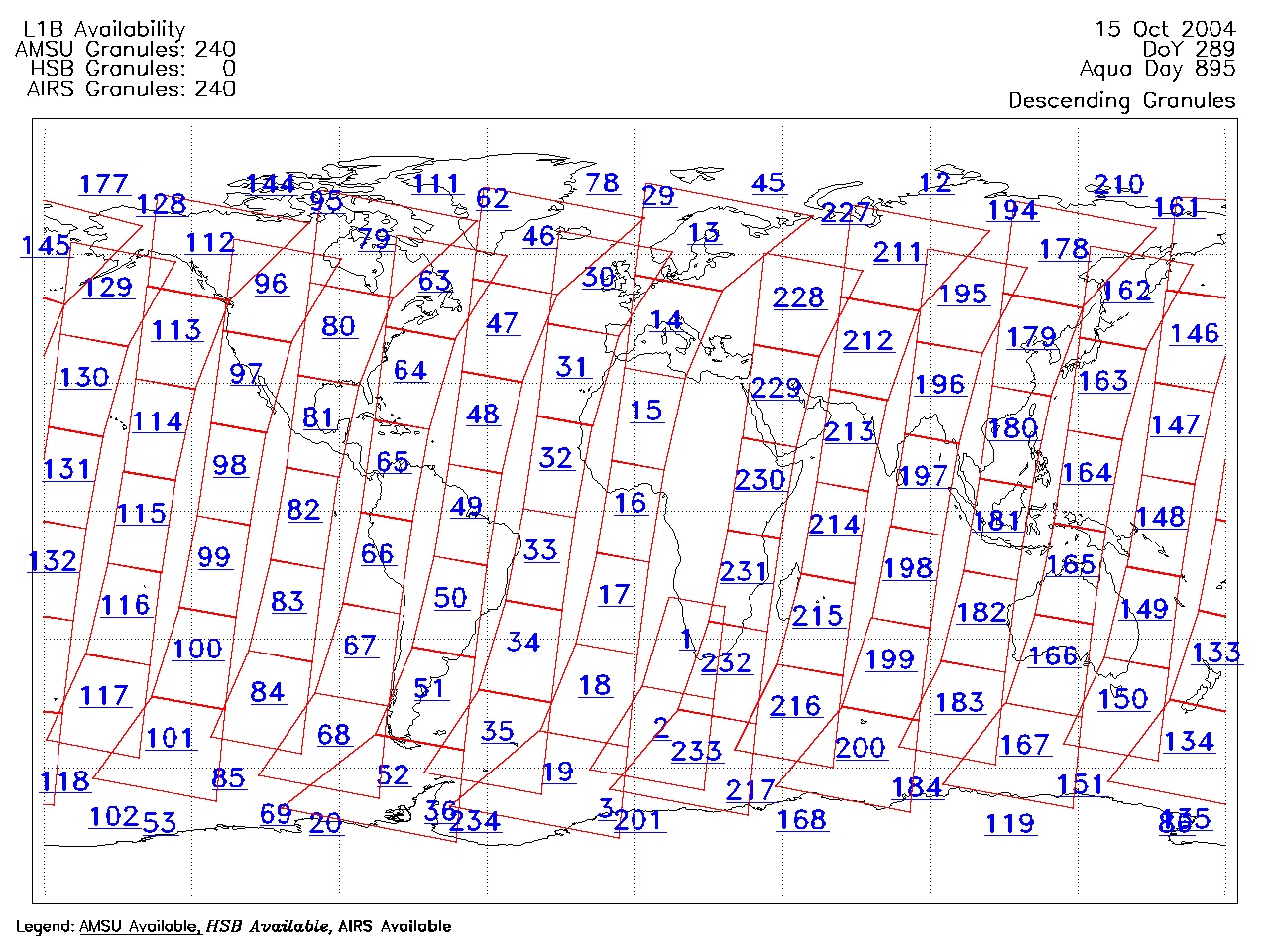
| AIRS.2004.10.15.GranuleMap.Descending.jpg | 2012-06-06T18:06:57GMT | 634323 |
|
||||||
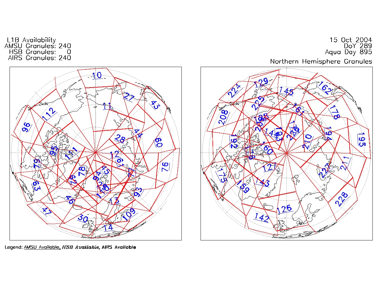
| AIRS.2004.10.15.GranuleMap.North.jpg | 2012-06-06T18:06:57GMT | 522055 |
|
||||||
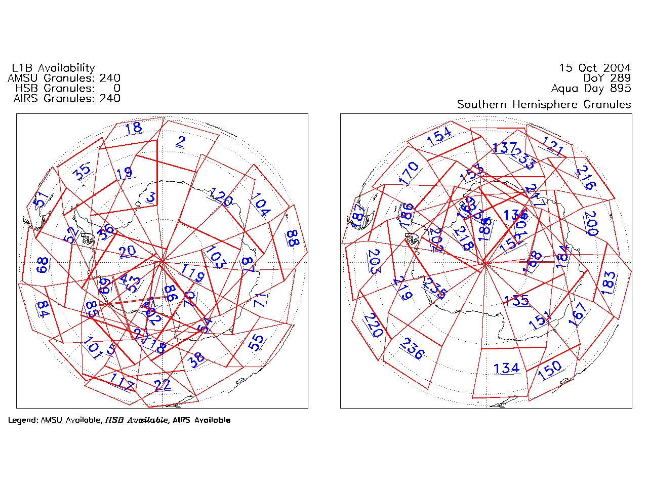
| AIRS.2004.10.15.GranuleMap.South.jpg | 2012-06-06T18:06:57GMT | 508554 |
|
||||||
| AIRS.2004.10.15.GranuleMap.pdf | 2012-06-06T18:06:57GMT | 333115 |
|
||||||
| AIRS.2004.10.15.GranuleMap.xml | 2012-06-06T18:06:57GMT | 2534 |
|
|
THREDDS Catalog XML
|