| Name | Last Modified | Size | DAP Response Links | Dataset Viewers | |||||
|---|---|---|---|---|---|---|---|---|---|
| AIRS.2004.10.14.GranuleMap.Ascending.jpg | 2012-06-06T18:06:57GMT | 644268 |
|
||||||
| AIRS.2004.10.14.GranuleMap.Descending.jpg | 2012-06-06T18:06:57GMT | 639180 |
|
||||||
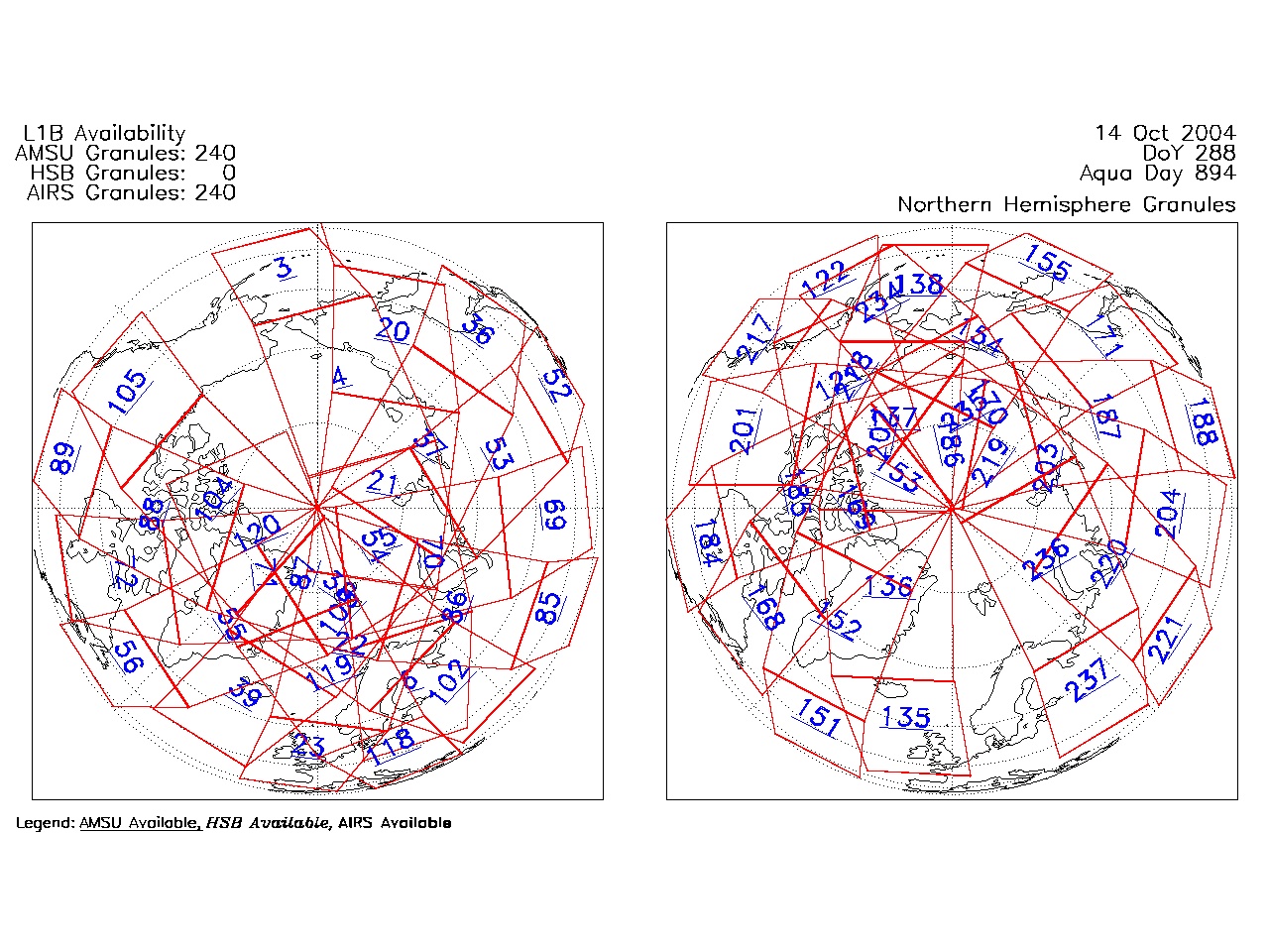
| AIRS.2004.10.14.GranuleMap.North.jpg | 2012-06-06T18:06:57GMT | 537264 |
|
||||||
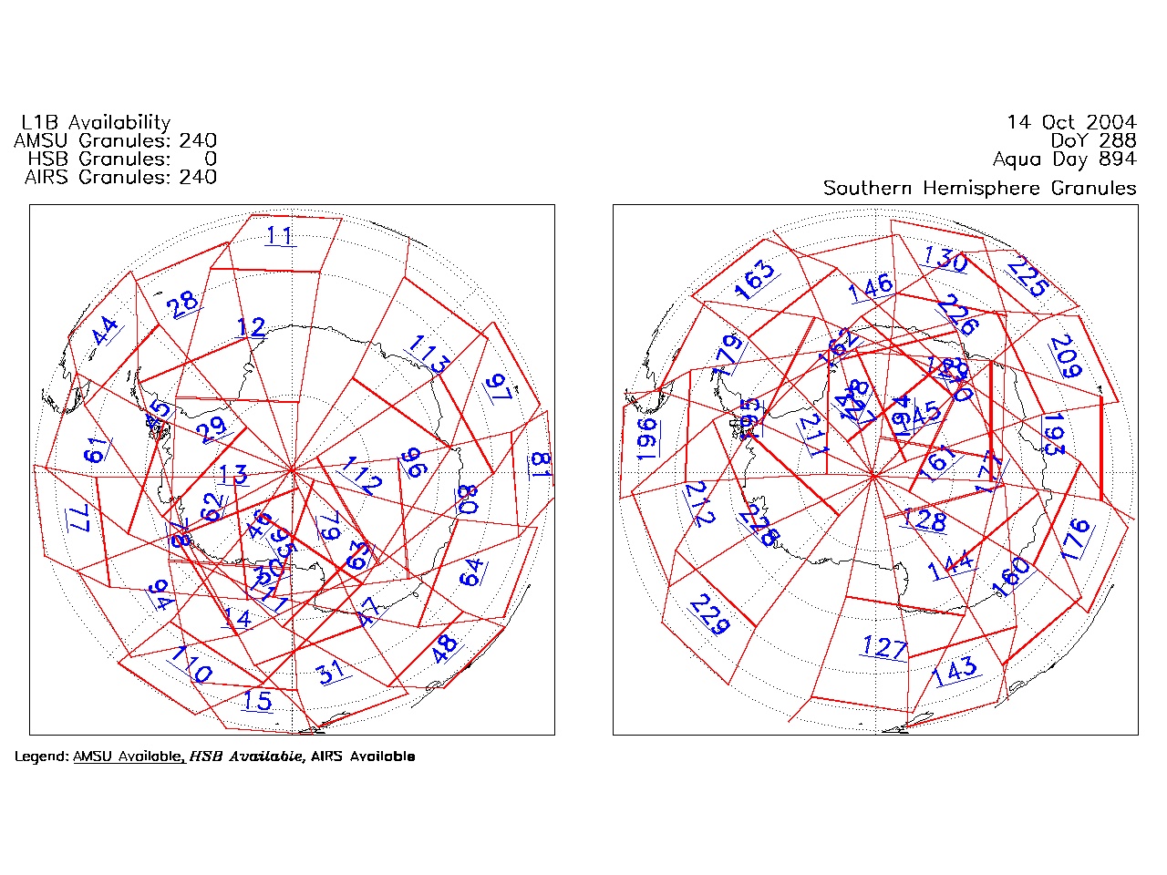
| AIRS.2004.10.14.GranuleMap.South.jpg | 2012-06-06T18:06:57GMT | 487235 |
|
||||||
| AIRS.2004.10.14.GranuleMap.pdf | 2012-06-06T18:06:57GMT | 333346 |
|
||||||
| AIRS.2004.10.14.GranuleMap.xml | 2012-06-06T18:06:57GMT | 2533 |
|
|
THREDDS Catalog XML
|