| Name | Last Modified | Size | DAP Response Links | Dataset Viewers | |||||
|---|---|---|---|---|---|---|---|---|---|
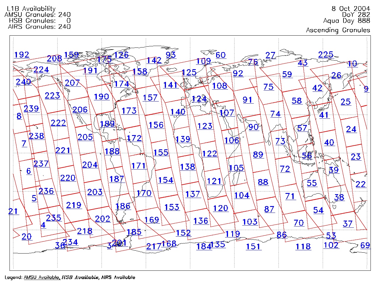
| AIRS.2004.10.08.GranuleMap.Ascending.jpg | 2012-06-06T18:06:48GMT | 652172 |
|
||||||
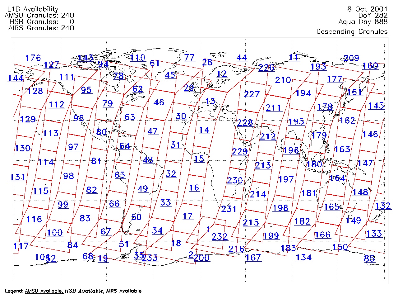
| AIRS.2004.10.08.GranuleMap.Descending.jpg | 2012-06-06T18:06:48GMT | 629415 |
|
||||||
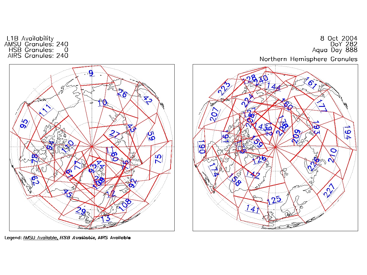
| AIRS.2004.10.08.GranuleMap.North.jpg | 2012-06-06T18:06:48GMT | 525127 |
|
||||||
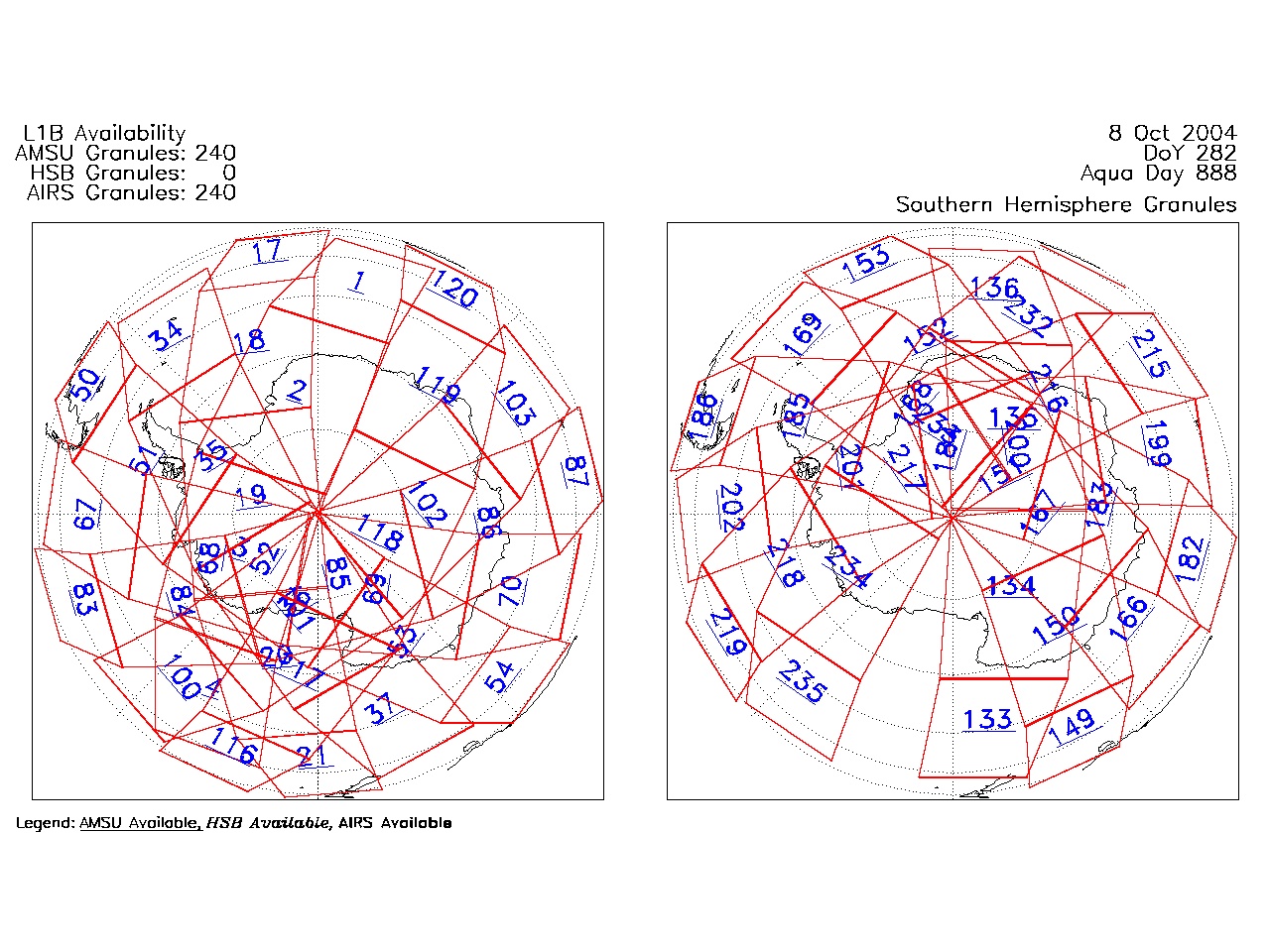
| AIRS.2004.10.08.GranuleMap.South.jpg | 2012-06-06T18:06:48GMT | 508690 |
|
||||||
| AIRS.2004.10.08.GranuleMap.pdf | 2012-06-06T18:06:48GMT | 333223 |
|
||||||
| AIRS.2004.10.08.GranuleMap.xml | 2012-06-06T18:06:48GMT | 2533 |
|
|
THREDDS Catalog XML
|