| Name | Last Modified | Size | DAP Response Links | Dataset Viewers | |||||
|---|---|---|---|---|---|---|---|---|---|
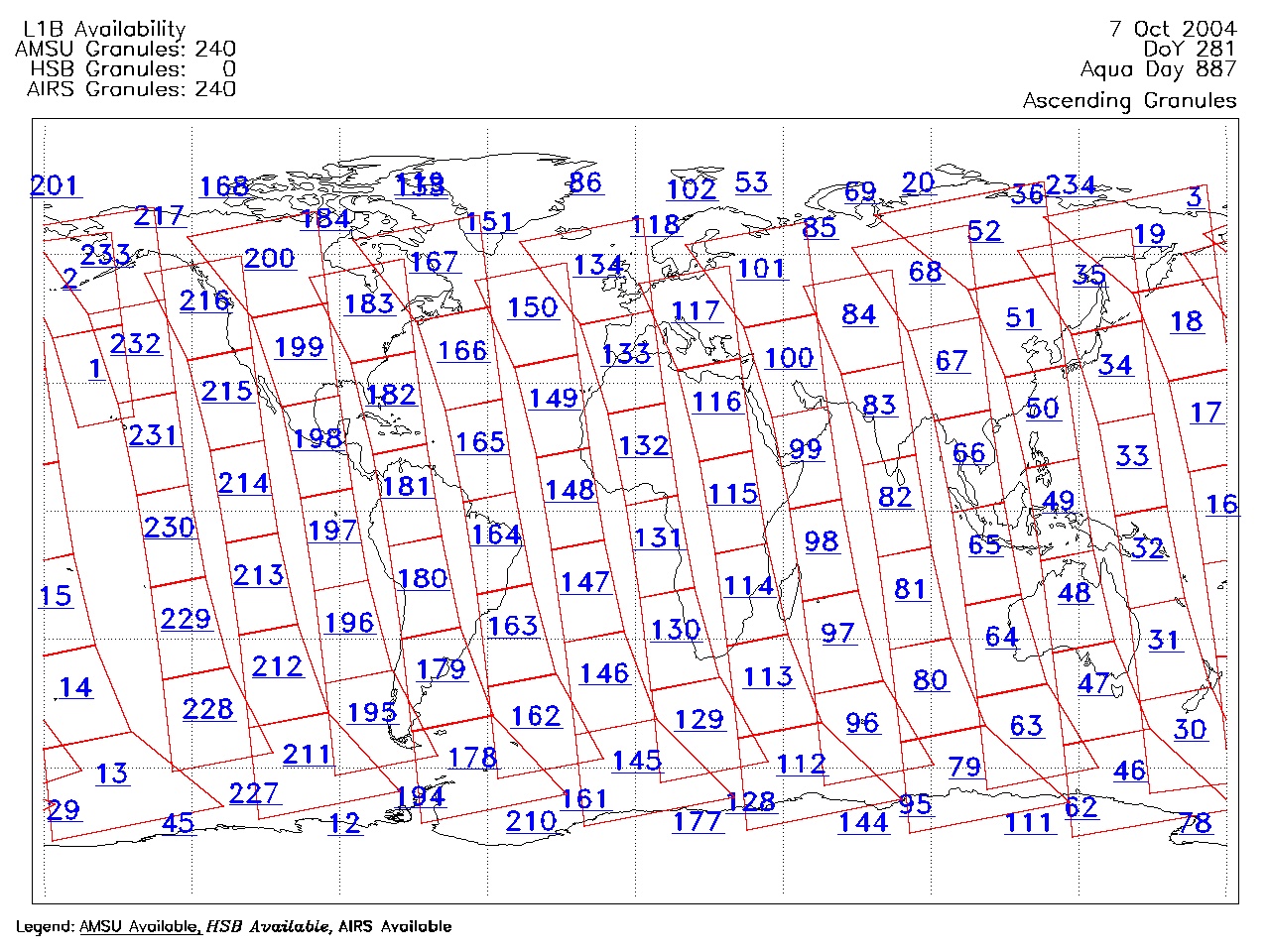
| AIRS.2004.10.07.GranuleMap.Ascending.jpg | 2012-06-06T18:06:42GMT | 634507 |
|
||||||
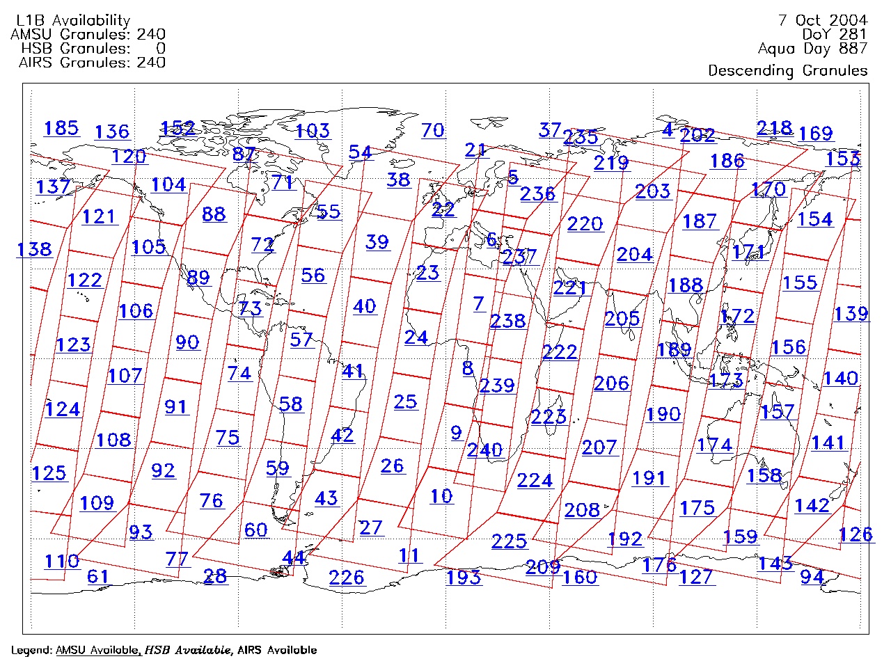
| AIRS.2004.10.07.GranuleMap.Descending.jpg | 2012-06-06T18:06:42GMT | 645113 |
|
||||||
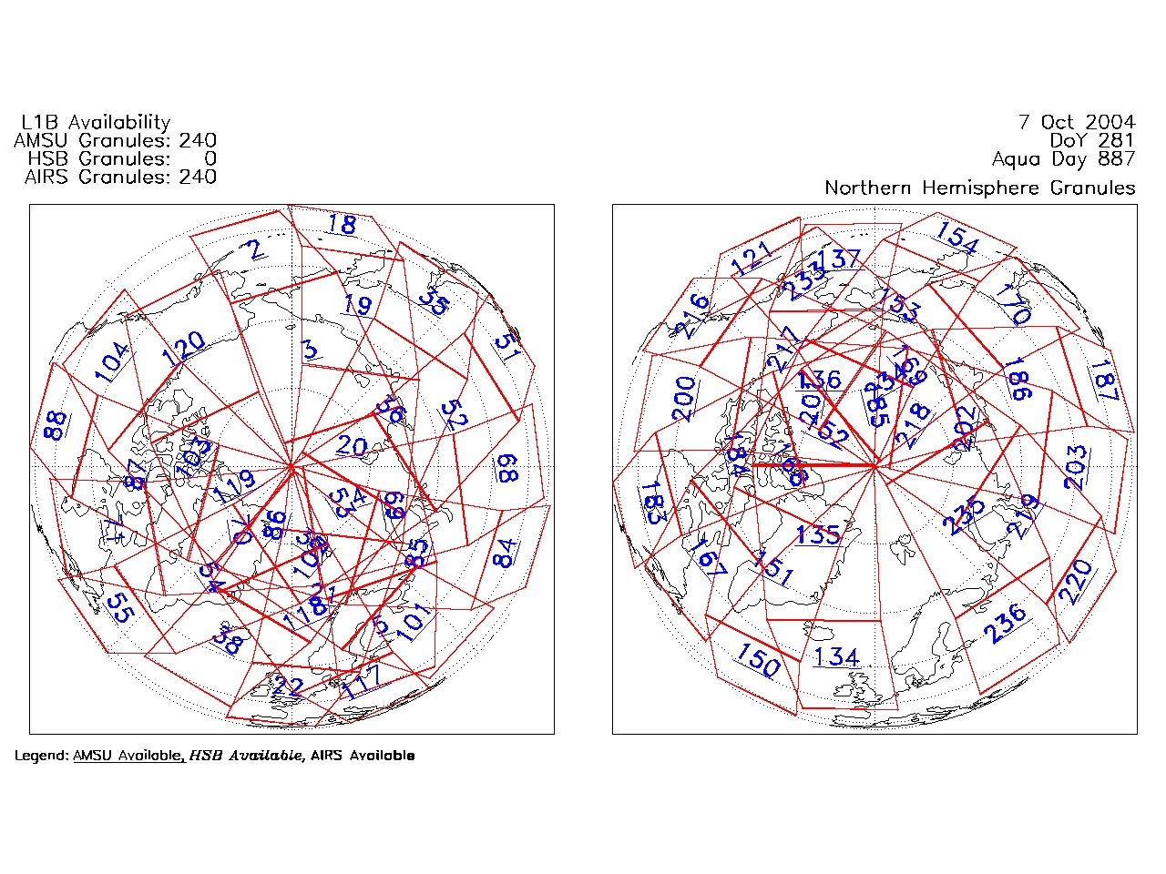
| AIRS.2004.10.07.GranuleMap.North.jpg | 2012-06-06T18:06:42GMT | 538699 |
|
||||||
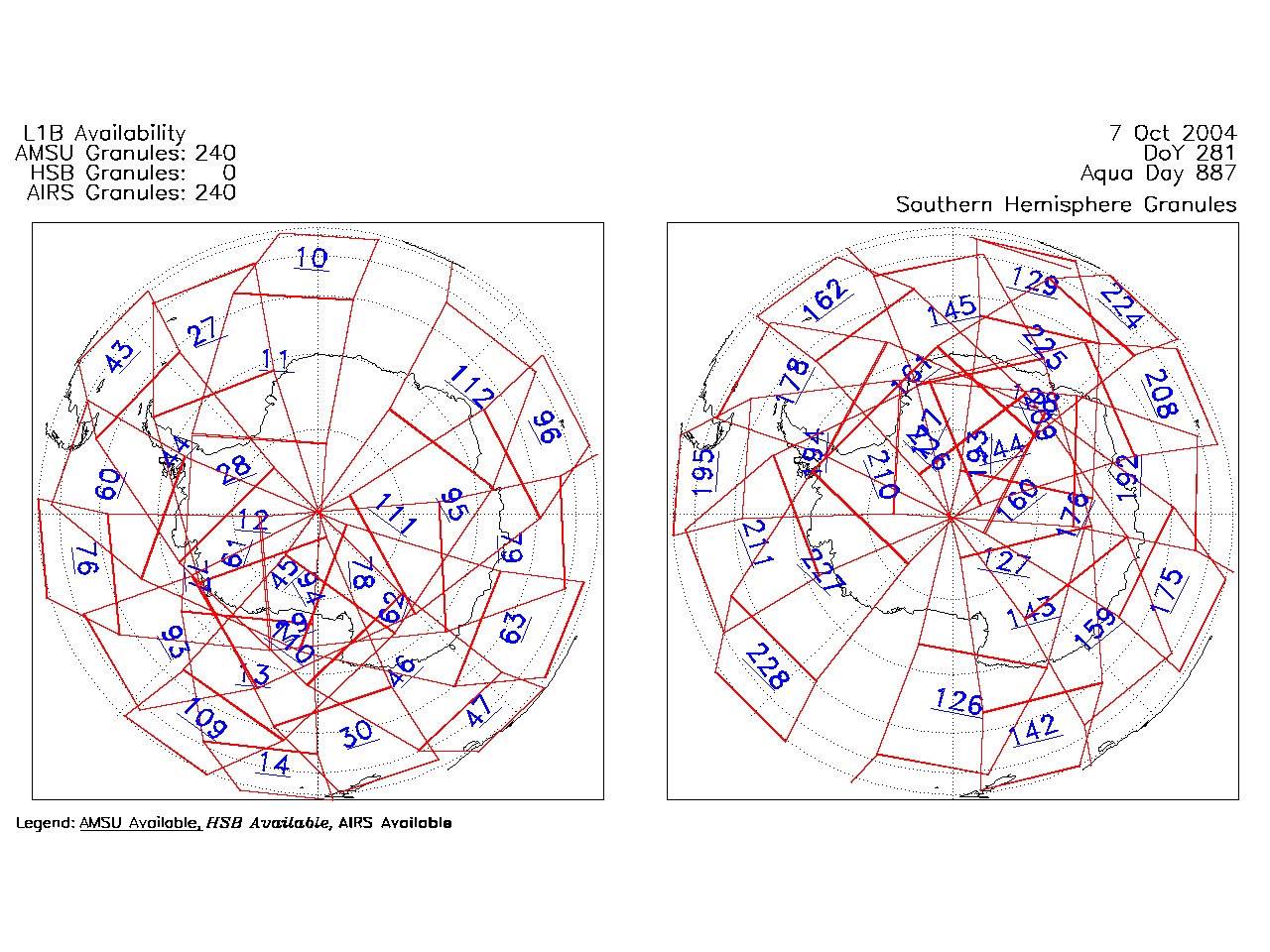
| AIRS.2004.10.07.GranuleMap.South.jpg | 2012-06-06T18:06:42GMT | 486256 |
|
||||||
| AIRS.2004.10.07.GranuleMap.pdf | 2012-06-06T18:06:42GMT | 333440 |
|
||||||
| AIRS.2004.10.07.GranuleMap.xml | 2012-06-06T18:06:42GMT | 2532 |
|
|
THREDDS Catalog XML
|