| Name | Last Modified | Size | DAP Response Links | Dataset Viewers | |||||
|---|---|---|---|---|---|---|---|---|---|
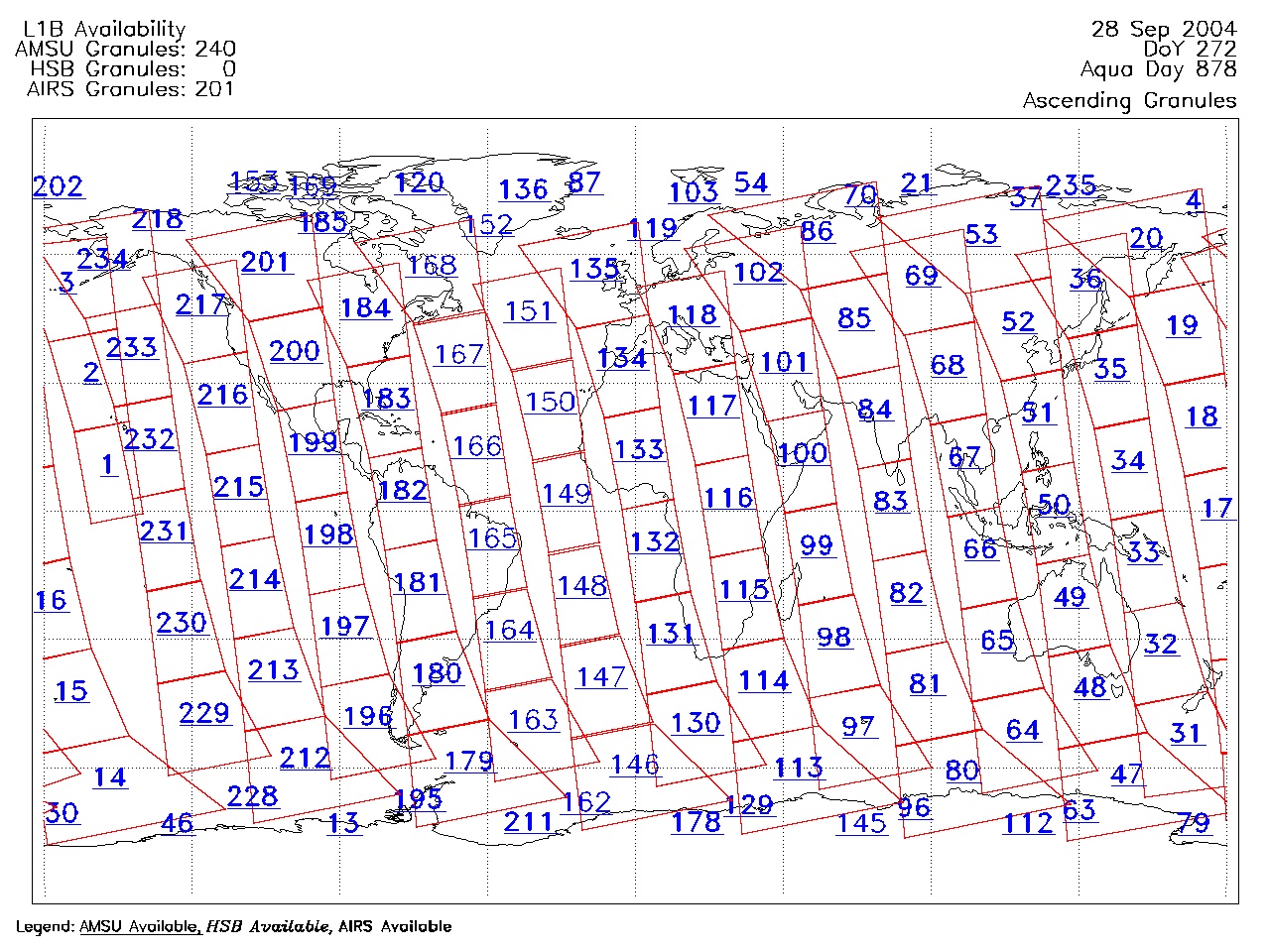
| AIRS.2004.09.28.GranuleMap.Ascending.jpg | 2012-06-06T18:06:27GMT | 644963 |
|
||||||
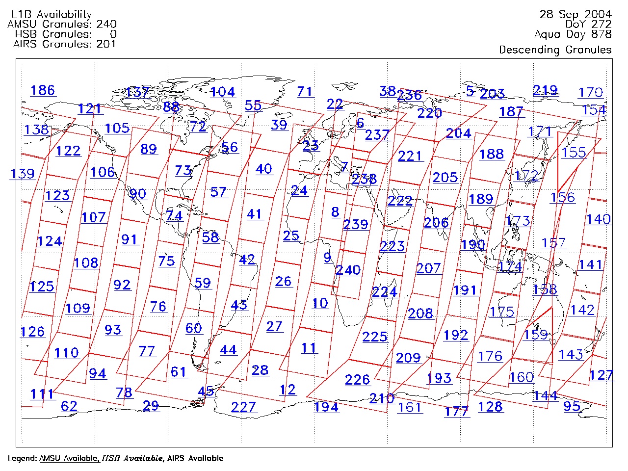
| AIRS.2004.09.28.GranuleMap.Descending.jpg | 2012-06-06T18:06:27GMT | 635602 |
|
||||||
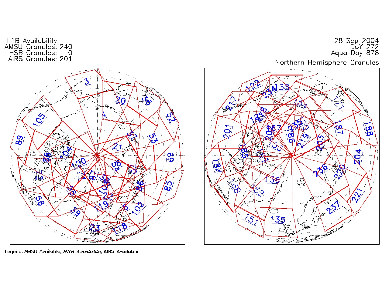
| AIRS.2004.09.28.GranuleMap.North.jpg | 2012-06-06T18:06:27GMT | 535262 |
|
||||||
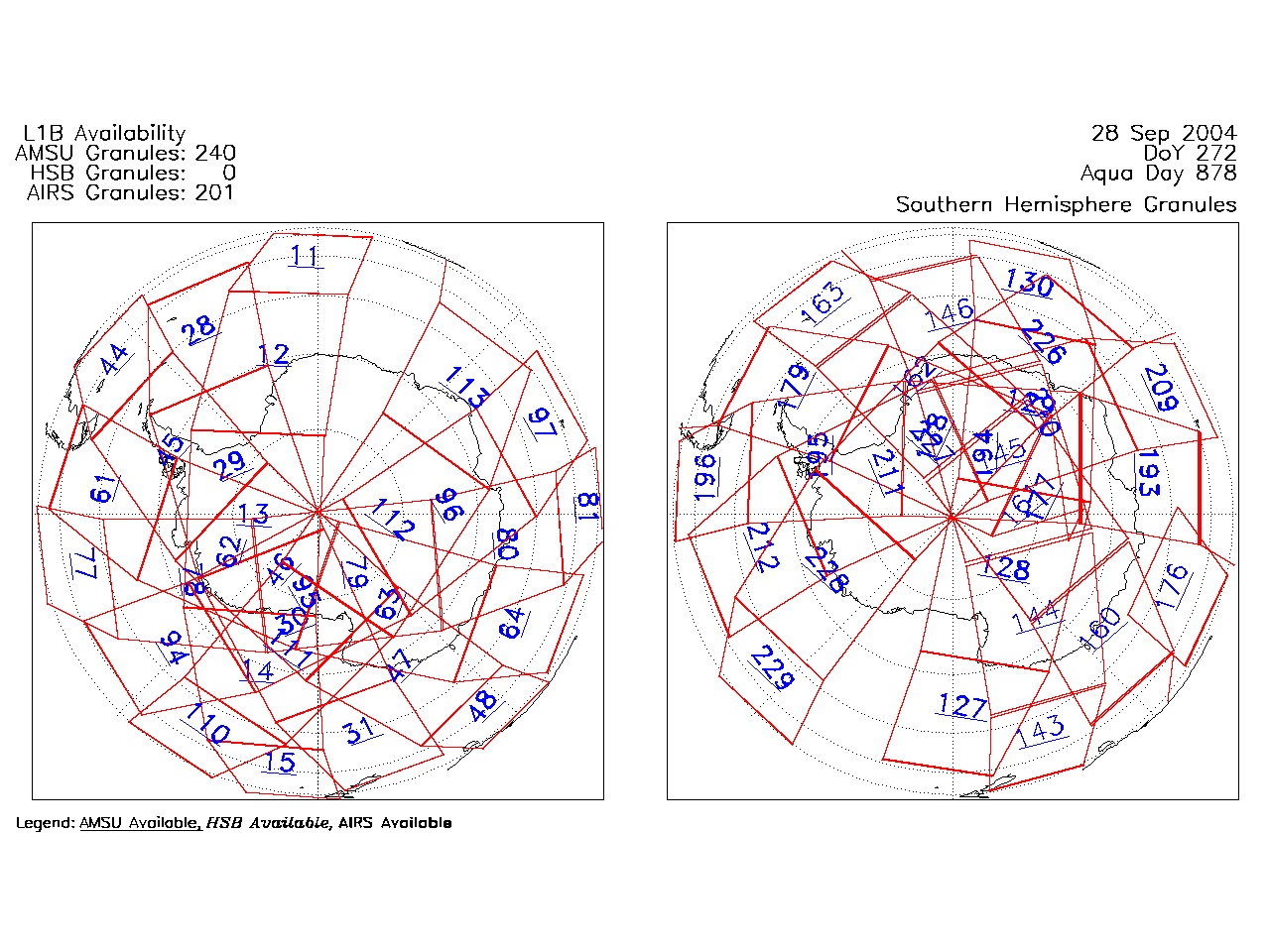
| AIRS.2004.09.28.GranuleMap.South.jpg | 2012-06-06T18:06:27GMT | 484682 |
|
||||||
| AIRS.2004.09.28.GranuleMap.pdf | 2012-06-06T18:06:27GMT | 333114 |
|
||||||
| AIRS.2004.09.28.GranuleMap.xml | 2012-06-06T18:06:27GMT | 2533 |
|
|
THREDDS Catalog XML
|