| Name | Last Modified | Size | DAP Response Links | Dataset Viewers | |||||
|---|---|---|---|---|---|---|---|---|---|
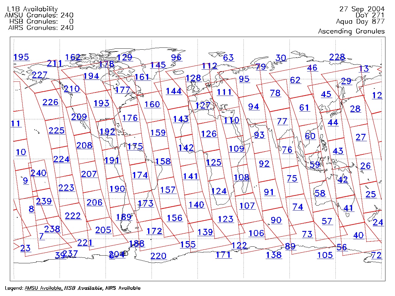
| AIRS.2004.09.27.GranuleMap.Ascending.jpg | 2012-06-06T18:06:27GMT | 631877 |
|
||||||
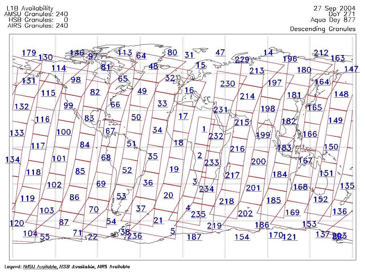
| AIRS.2004.09.27.GranuleMap.Descending.jpg | 2012-06-06T18:06:27GMT | 649036 |
|
||||||
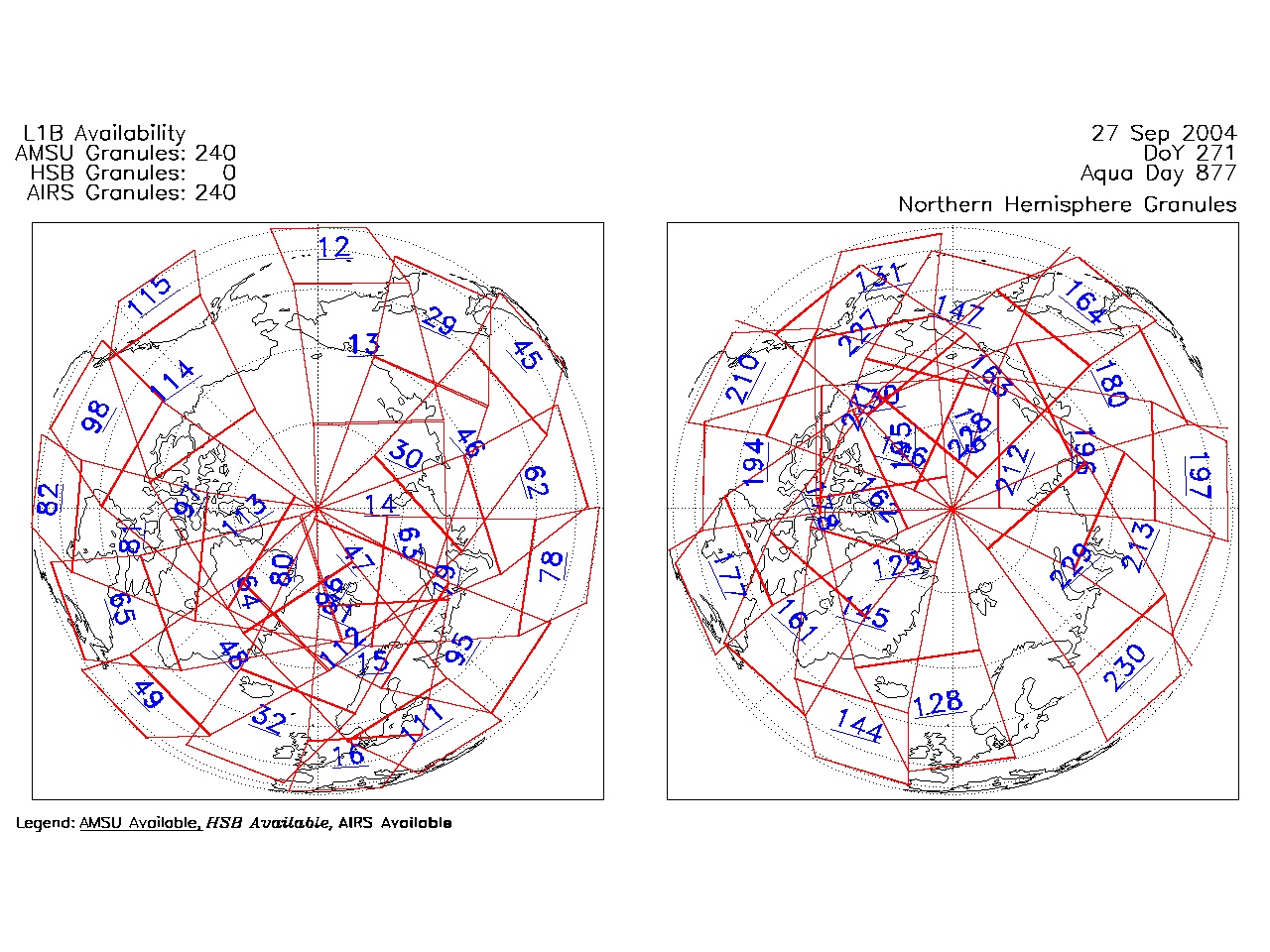
| AIRS.2004.09.27.GranuleMap.North.jpg | 2012-06-06T18:06:27GMT | 521437 |
|
||||||
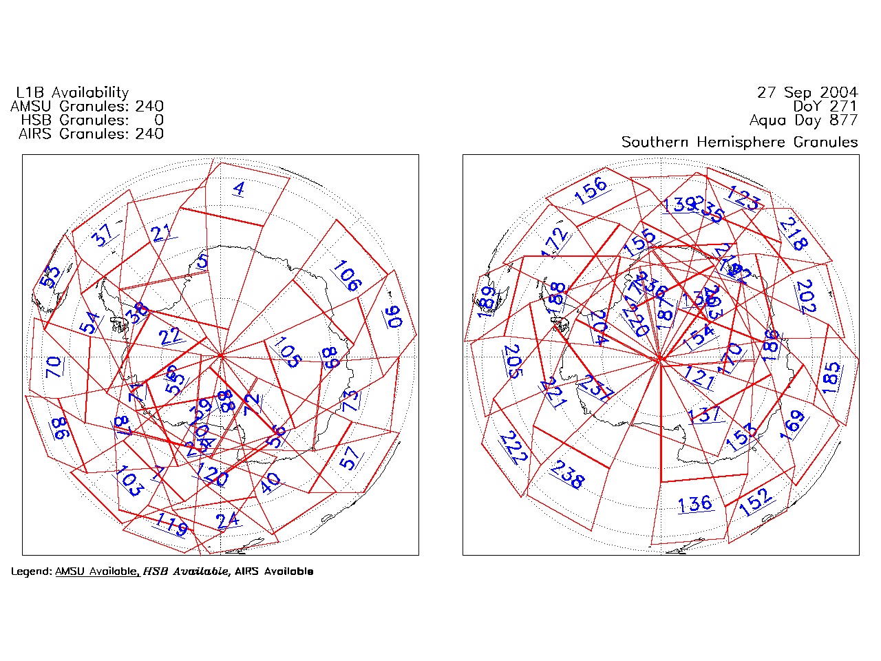
| AIRS.2004.09.27.GranuleMap.South.jpg | 2012-06-06T18:06:27GMT | 506321 |
|
||||||
| AIRS.2004.09.27.GranuleMap.pdf | 2012-06-06T18:06:27GMT | 333283 |
|
||||||
| AIRS.2004.09.27.GranuleMap.xml | 2012-06-06T18:06:27GMT | 2533 |
|
|
THREDDS Catalog XML
|