| Name | Last Modified | Size | DAP Response Links | Dataset Viewers | |||||
|---|---|---|---|---|---|---|---|---|---|
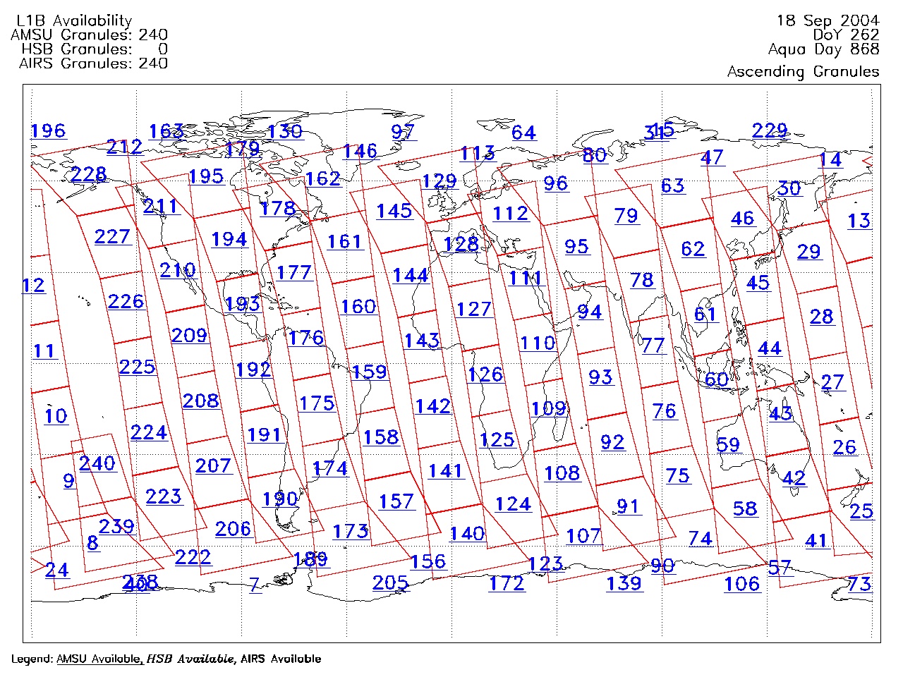
| AIRS.2004.09.18.GranuleMap.Ascending.jpg | 2012-06-06T18:06:12GMT | 626732 |
|
||||||
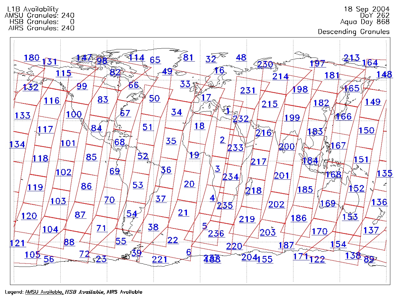
| AIRS.2004.09.18.GranuleMap.Descending.jpg | 2012-06-06T18:06:12GMT | 652122 |
|
||||||
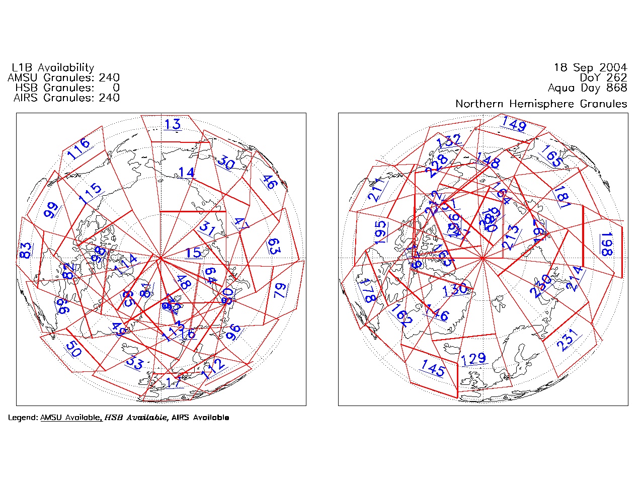
| AIRS.2004.09.18.GranuleMap.North.jpg | 2012-06-06T18:06:12GMT | 526131 |
|
||||||
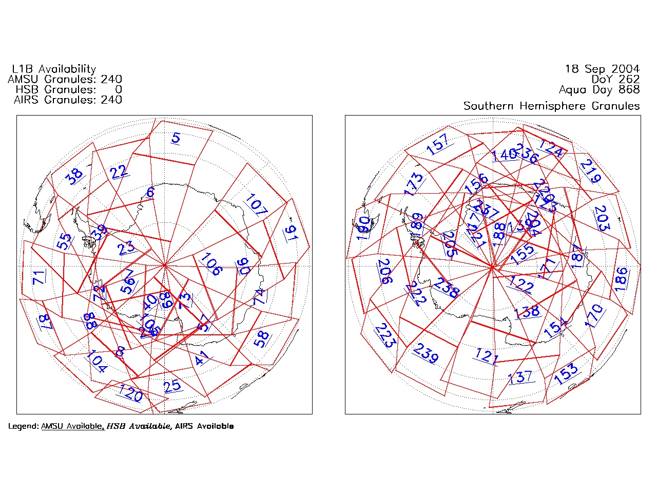
| AIRS.2004.09.18.GranuleMap.South.jpg | 2012-06-06T18:06:12GMT | 506073 |
|
||||||
| AIRS.2004.09.18.GranuleMap.pdf | 2012-06-06T18:06:12GMT | 333315 |
|
||||||
| AIRS.2004.09.18.GranuleMap.xml | 2012-06-06T18:06:12GMT | 2533 |
|
|
THREDDS Catalog XML
|