| Name | Last Modified | Size | DAP Response Links | Dataset Viewers | |||||
|---|---|---|---|---|---|---|---|---|---|
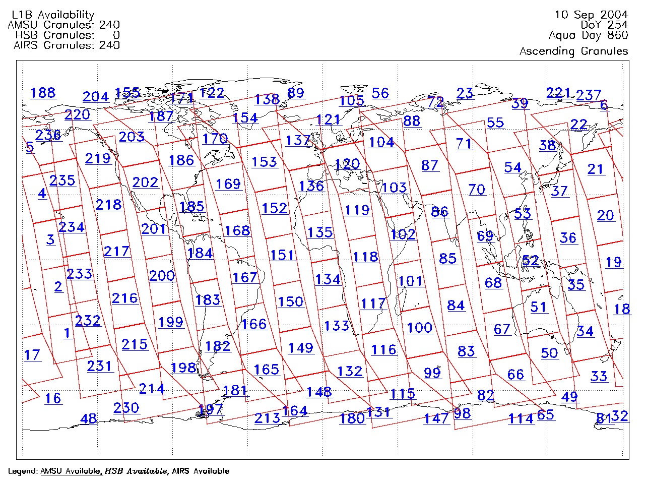
| AIRS.2004.09.10.GranuleMap.Ascending.jpg | 2012-06-06T18:05:56GMT | 654444 |
|
||||||
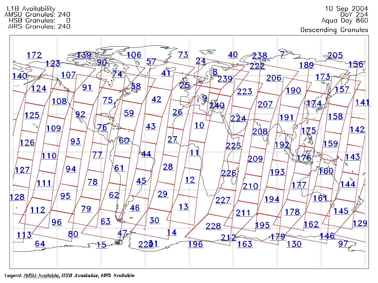
| AIRS.2004.09.10.GranuleMap.Descending.jpg | 2012-06-06T18:05:56GMT | 625183 |
|
||||||
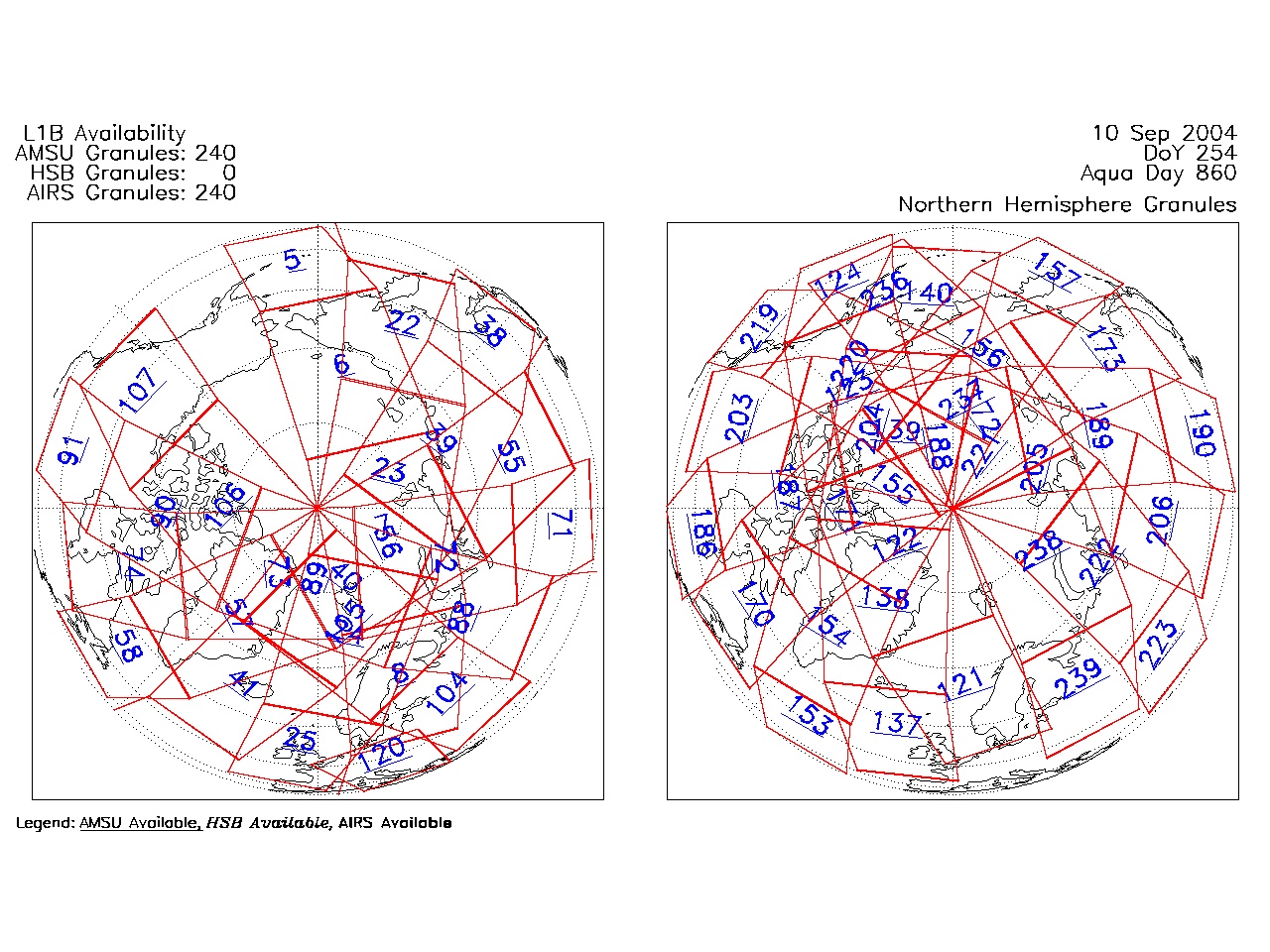
| AIRS.2004.09.10.GranuleMap.North.jpg | 2012-06-06T18:05:56GMT | 536823 |
|
||||||
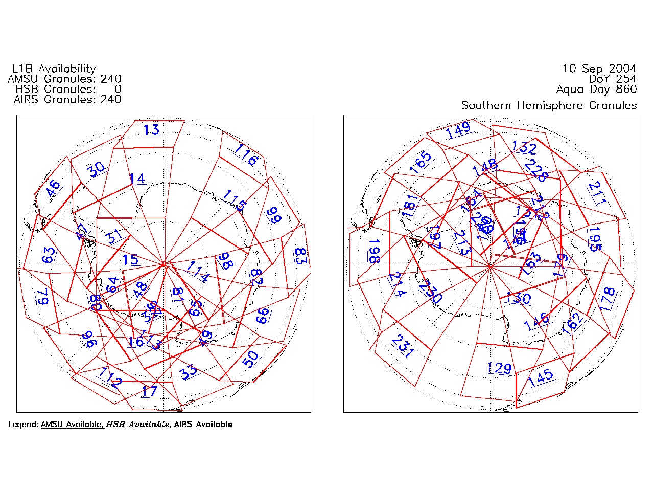
| AIRS.2004.09.10.GranuleMap.South.jpg | 2012-06-06T18:05:56GMT | 489607 |
|
||||||
| AIRS.2004.09.10.GranuleMap.pdf | 2012-06-06T18:05:56GMT | 333221 |
|
||||||
| AIRS.2004.09.10.GranuleMap.xml | 2012-06-06T18:05:56GMT | 2535 |
|
|
THREDDS Catalog XML
|