| Name | Last Modified | Size | DAP Response Links | Dataset Viewers | |||||
|---|---|---|---|---|---|---|---|---|---|
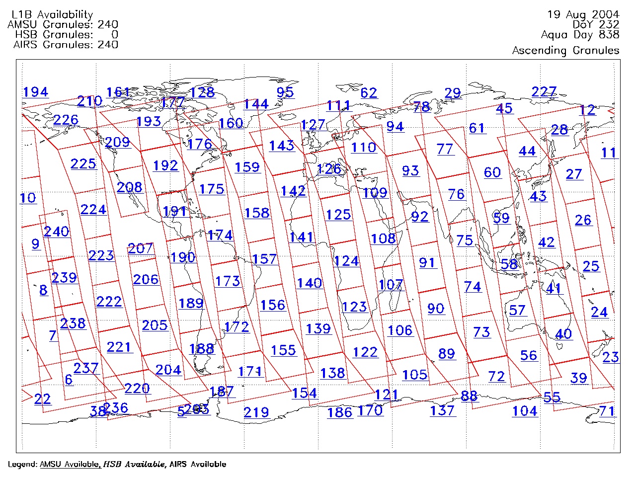
| AIRS.2004.08.19.GranuleMap.Ascending.jpg | 2012-06-06T18:05:21GMT | 639021 |
|
||||||
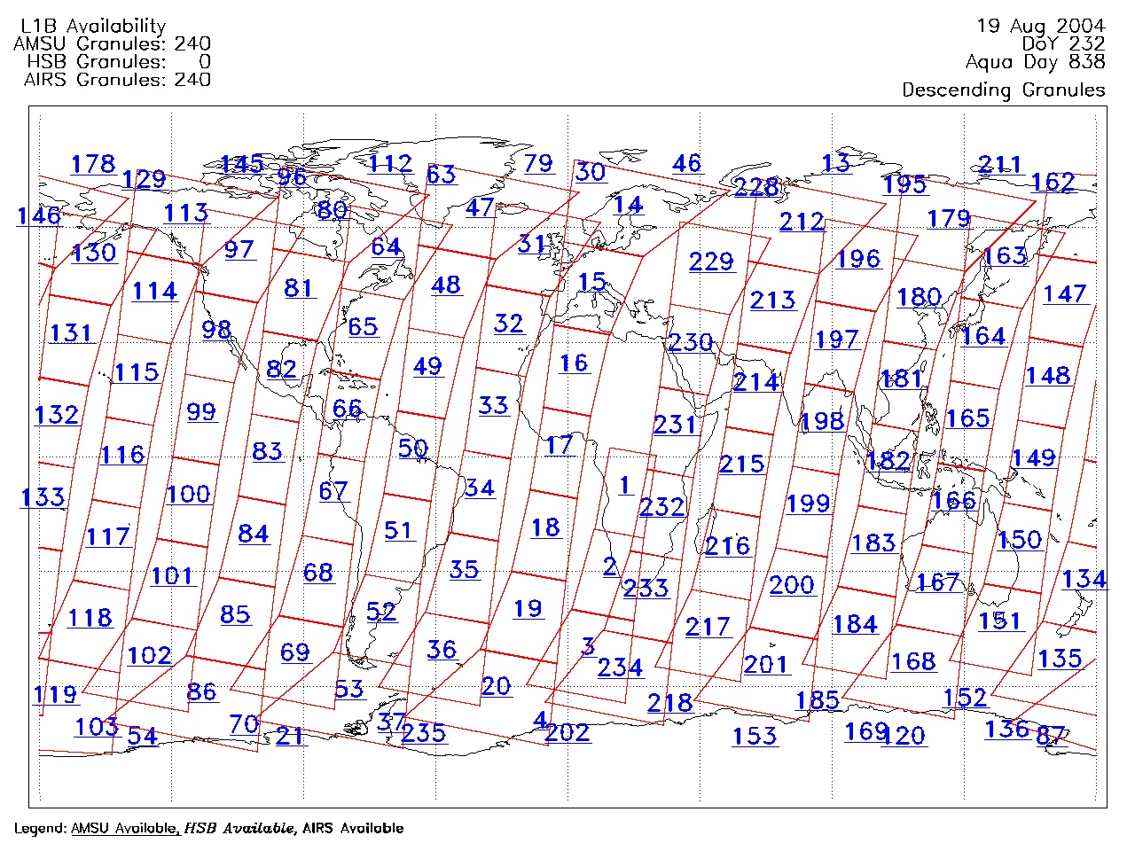
| AIRS.2004.08.19.GranuleMap.Descending.jpg | 2012-06-06T18:05:21GMT | 645726 |
|
||||||
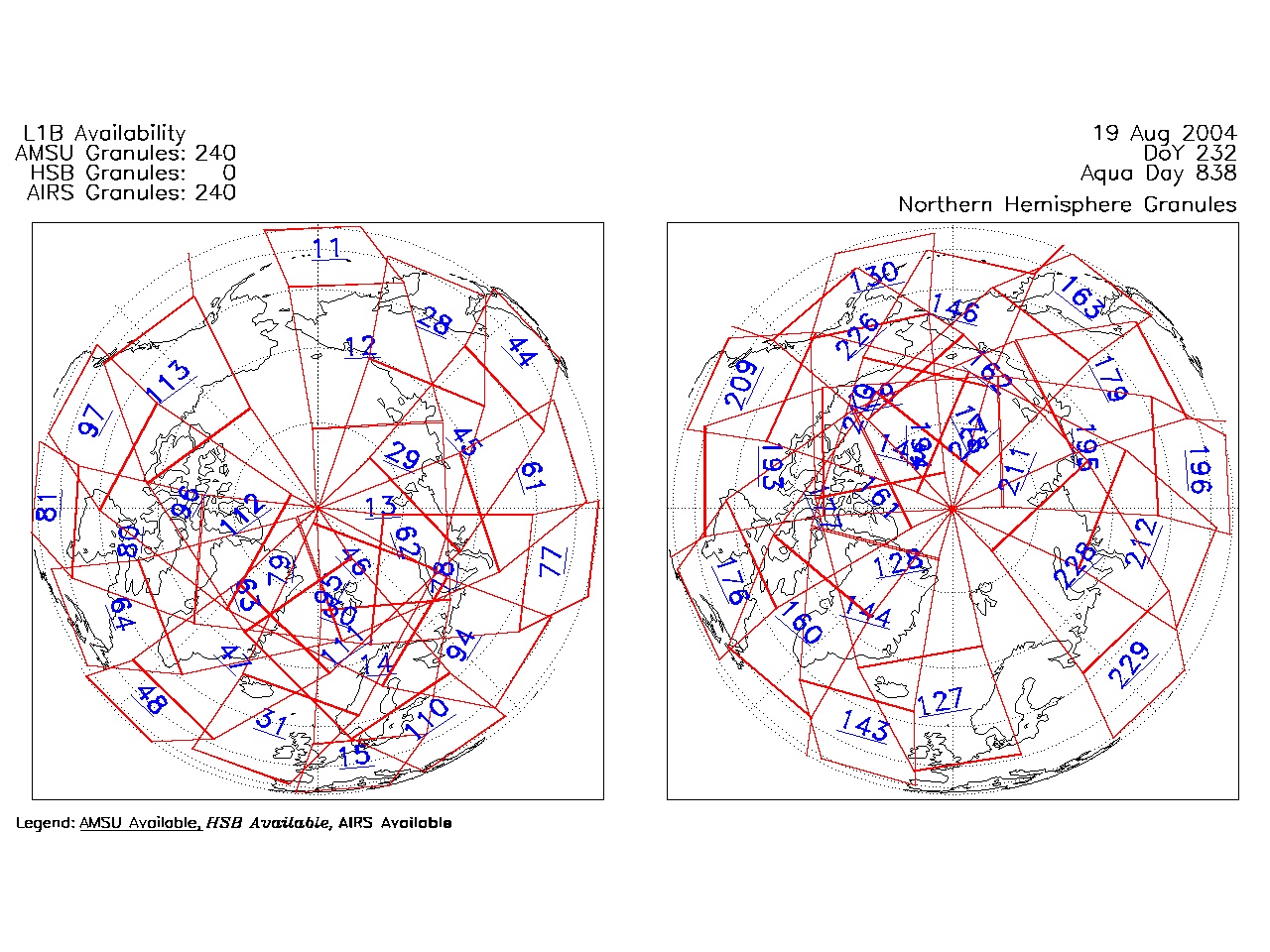
| AIRS.2004.08.19.GranuleMap.North.jpg | 2012-06-06T18:05:21GMT | 521096 |
|
||||||
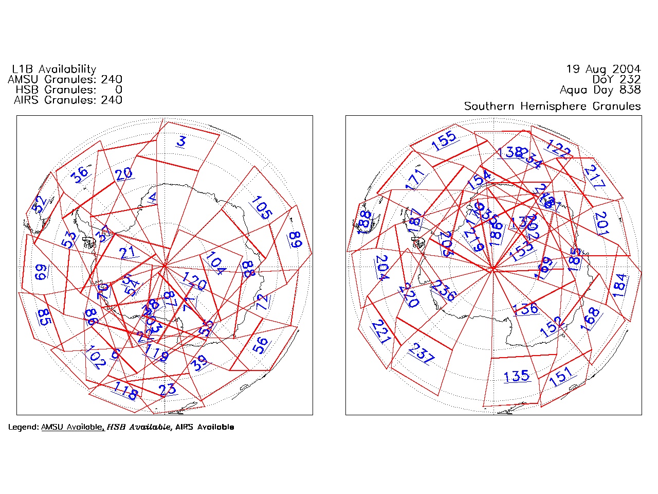
| AIRS.2004.08.19.GranuleMap.South.jpg | 2012-06-06T18:05:21GMT | 506733 |
|
||||||
| AIRS.2004.08.19.GranuleMap.pdf | 2012-06-06T18:05:21GMT | 333230 |
|
||||||
| AIRS.2004.08.19.GranuleMap.xml | 2012-06-06T18:05:21GMT | 2534 |
|
|
THREDDS Catalog XML
|