| Name | Last Modified | Size | DAP Response Links | Dataset Viewers | |||||
|---|---|---|---|---|---|---|---|---|---|
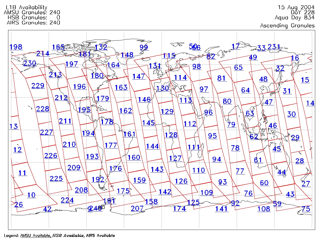
| AIRS.2004.08.15.GranuleMap.Ascending.jpg | 2012-06-06T18:05:16GMT | 620268 |
|
||||||
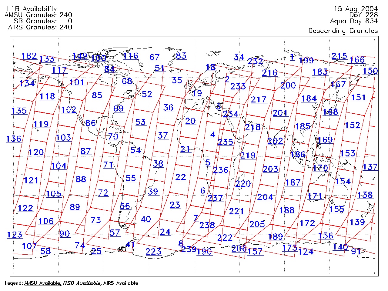
| AIRS.2004.08.15.GranuleMap.Descending.jpg | 2012-06-06T18:05:16GMT | 659012 |
|
||||||
| AIRS.2004.08.15.GranuleMap.North.jpg | 2012-06-06T18:05:16GMT | 531970 |
|
||||||
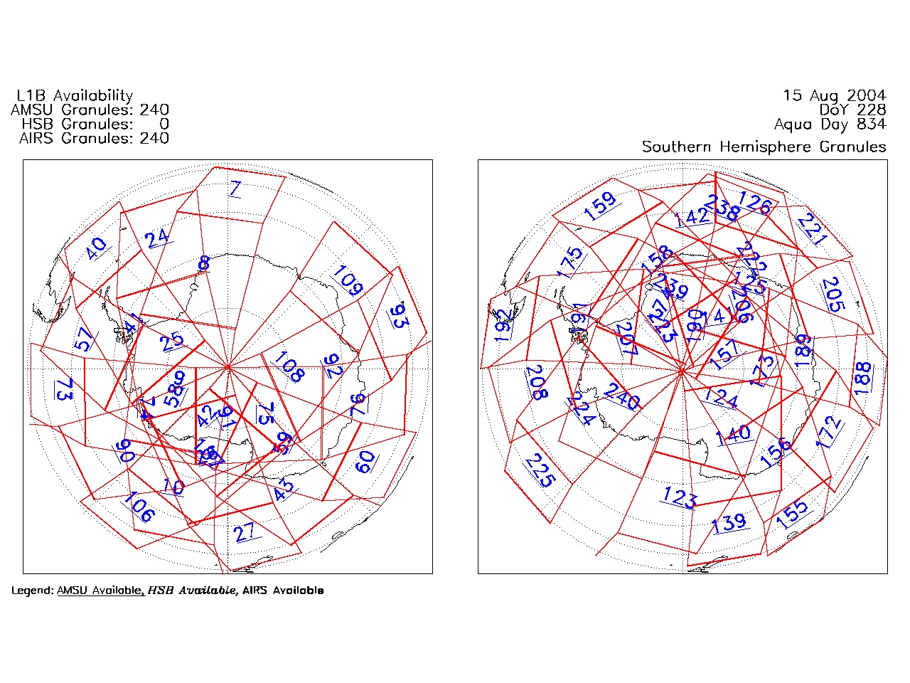
| AIRS.2004.08.15.GranuleMap.South.jpg | 2012-06-06T18:05:16GMT | 494353 |
|
||||||
| AIRS.2004.08.15.GranuleMap.pdf | 2012-06-06T18:05:16GMT | 333350 |
|
||||||
| AIRS.2004.08.15.GranuleMap.xml | 2012-06-06T18:05:16GMT | 2535 |
|
|
THREDDS Catalog XML
|