| Name | Last Modified | Size | DAP Response Links | Dataset Viewers | |||||
|---|---|---|---|---|---|---|---|---|---|
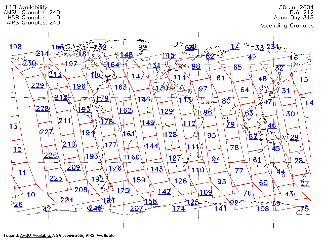
| AIRS.2004.07.30.GranuleMap.Ascending.jpg | 2012-06-06T18:04:45GMT | 620183 |
|
||||||
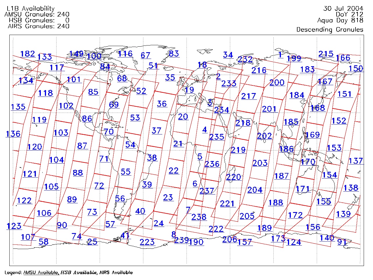
| AIRS.2004.07.30.GranuleMap.Descending.jpg | 2012-06-06T18:04:45GMT | 655604 |
|
||||||
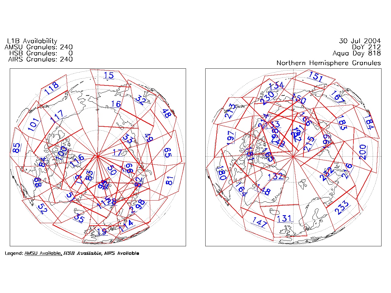
| AIRS.2004.07.30.GranuleMap.North.jpg | 2012-06-06T18:04:45GMT | 531785 |
|
||||||
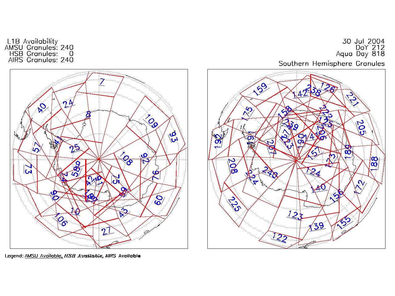
| AIRS.2004.07.30.GranuleMap.South.jpg | 2012-06-06T18:04:46GMT | 496800 |
|
||||||
| AIRS.2004.07.30.GranuleMap.pdf | 2012-06-06T18:04:45GMT | 333300 |
|
||||||
| AIRS.2004.07.30.GranuleMap.xml | 2012-06-06T18:04:46GMT | 2535 |
|
|
THREDDS Catalog XML
|