| Name | Last Modified | Size | DAP Response Links | Dataset Viewers | |||||
|---|---|---|---|---|---|---|---|---|---|
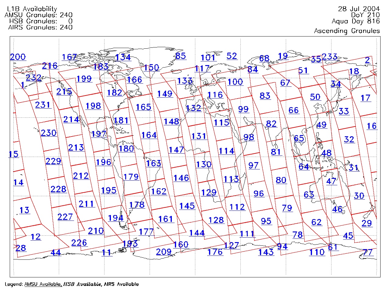
| AIRS.2004.07.28.GranuleMap.Ascending.jpg | 2012-06-06T18:04:45GMT | 632727 |
|
||||||
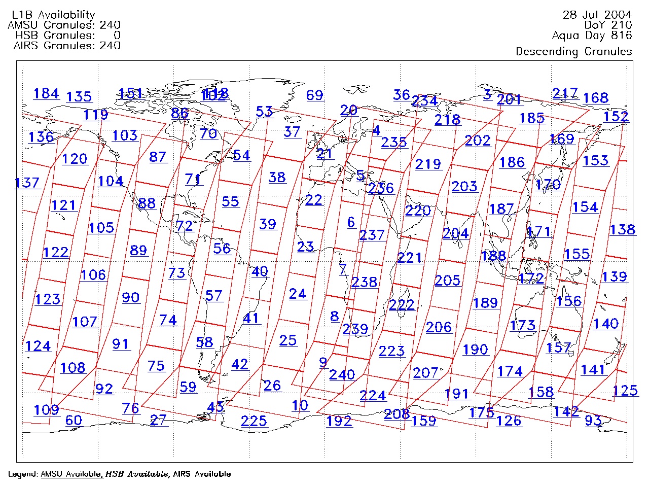
| AIRS.2004.07.28.GranuleMap.Descending.jpg | 2012-06-06T18:04:45GMT | 652288 |
|
||||||
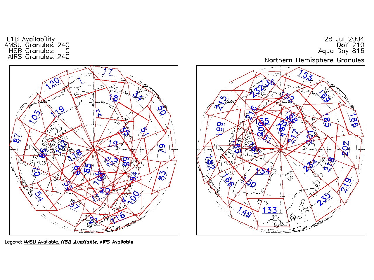
| AIRS.2004.07.28.GranuleMap.North.jpg | 2012-06-06T18:04:45GMT | 539883 |
|
||||||
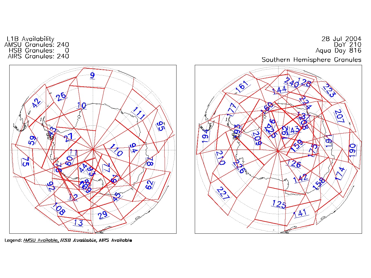
| AIRS.2004.07.28.GranuleMap.South.jpg | 2012-06-06T18:04:46GMT | 488993 |
|
||||||
| AIRS.2004.07.28.GranuleMap.pdf | 2012-06-06T18:04:45GMT | 333438 |
|
||||||
| AIRS.2004.07.28.GranuleMap.xml | 2012-06-06T18:04:46GMT | 2535 |
|
|
THREDDS Catalog XML
|