| Name | Last Modified | Size | DAP Response Links | Dataset Viewers | |||||
|---|---|---|---|---|---|---|---|---|---|
| AIRS.2004.07.26.GranuleMap.Ascending.jpg | 2012-06-06T18:04:41GMT | 646427 |
|
||||||
| AIRS.2004.07.26.GranuleMap.Descending.jpg | 2012-06-06T18:04:41GMT | 638248 |
|
||||||
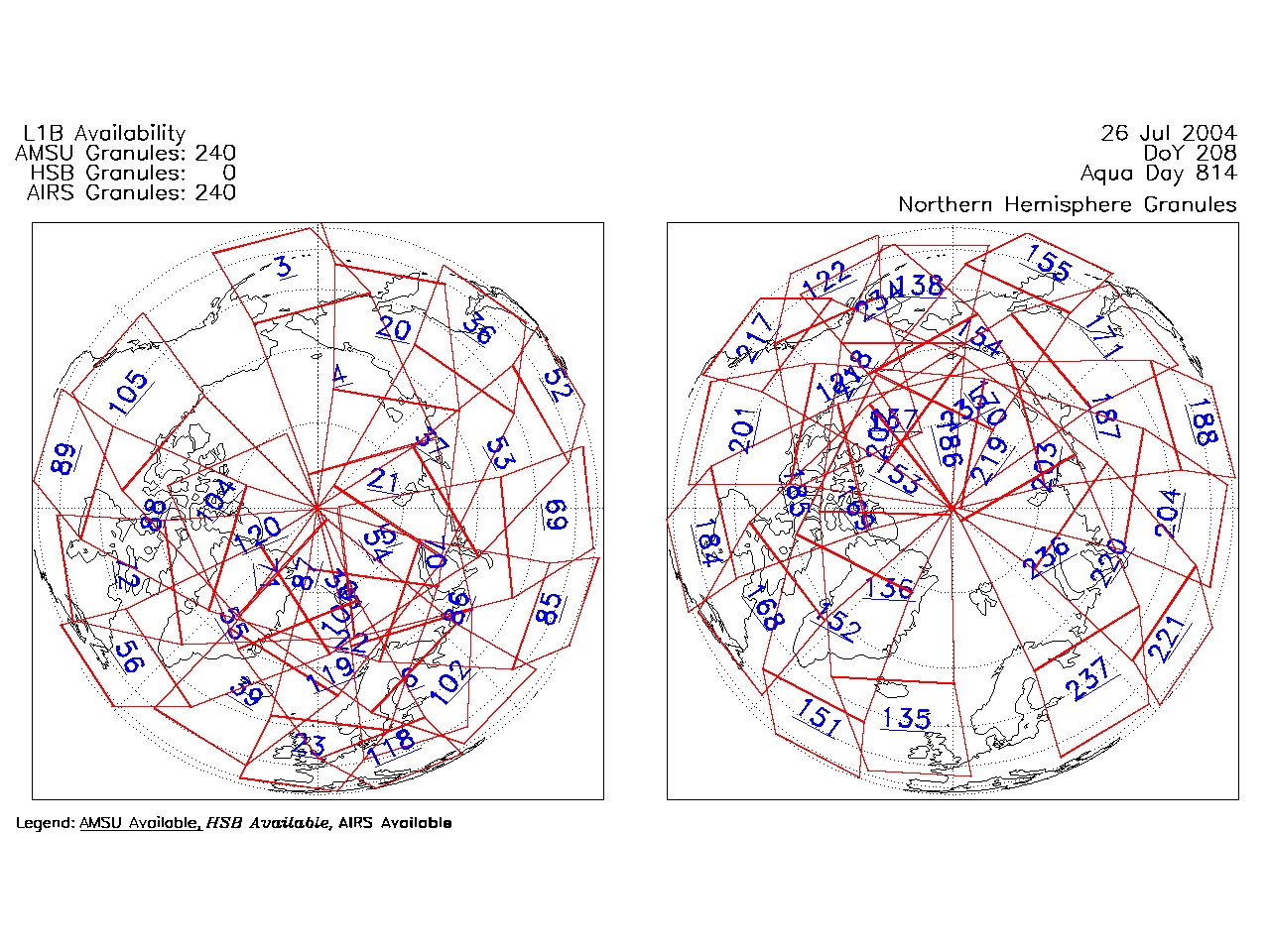
| AIRS.2004.07.26.GranuleMap.North.jpg | 2012-06-06T18:04:41GMT | 536935 |
|
||||||
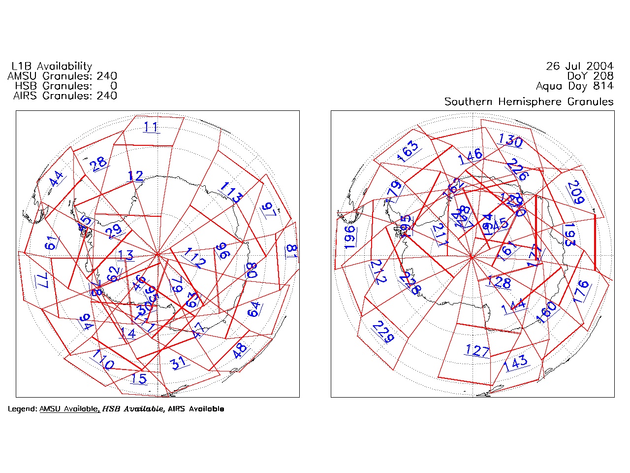
| AIRS.2004.07.26.GranuleMap.South.jpg | 2012-06-06T18:04:41GMT | 483372 |
|
||||||
| AIRS.2004.07.26.GranuleMap.pdf | 2012-06-06T18:04:40GMT | 333241 |
|
||||||
| AIRS.2004.07.26.GranuleMap.xml | 2012-06-06T18:04:41GMT | 2535 |
|
|
THREDDS Catalog XML
|