| Name | Last Modified | Size | DAP Response Links | Dataset Viewers | |||||
|---|---|---|---|---|---|---|---|---|---|
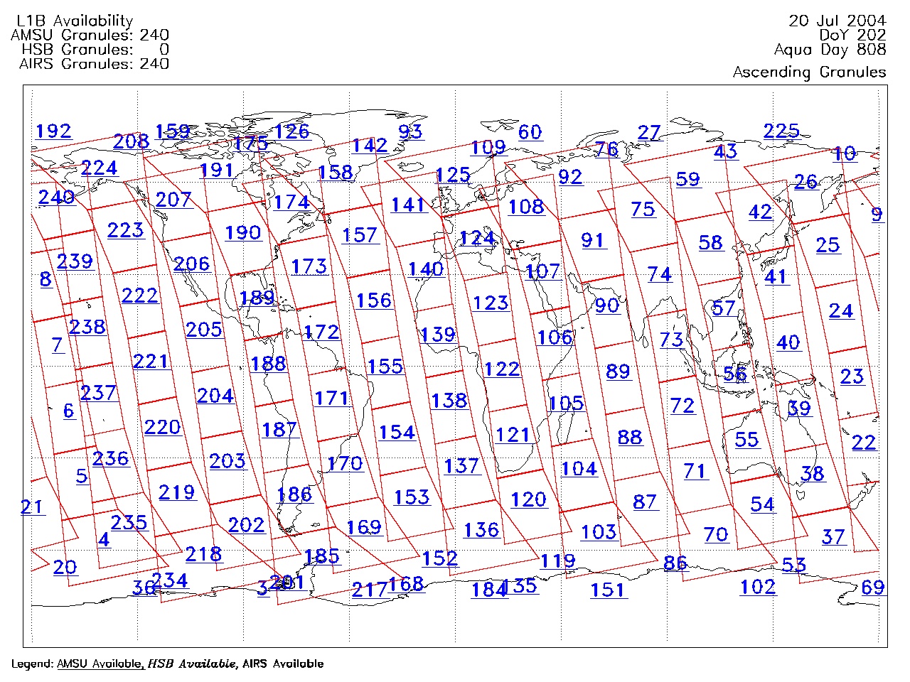
| AIRS.2004.07.20.GranuleMap.Ascending.jpg | 2012-06-06T18:04:30GMT | 652010 |
|
||||||
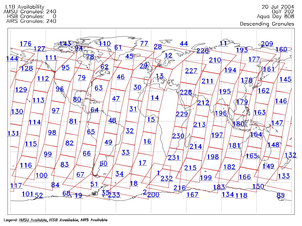
| AIRS.2004.07.20.GranuleMap.Descending.jpg | 2012-06-06T18:04:31GMT | 631972 |
|
||||||
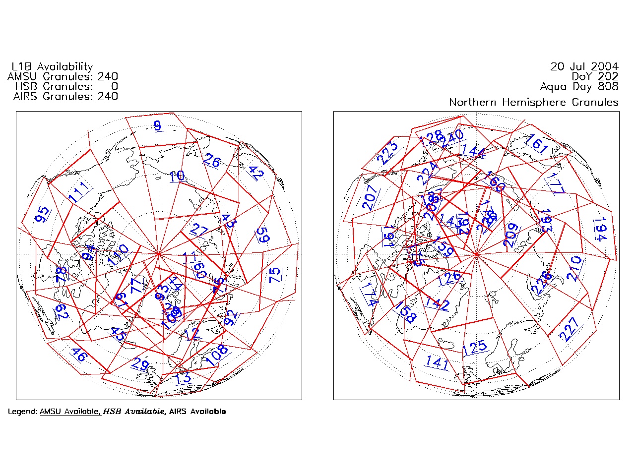
| AIRS.2004.07.20.GranuleMap.North.jpg | 2012-06-06T18:04:31GMT | 525022 |
|
||||||
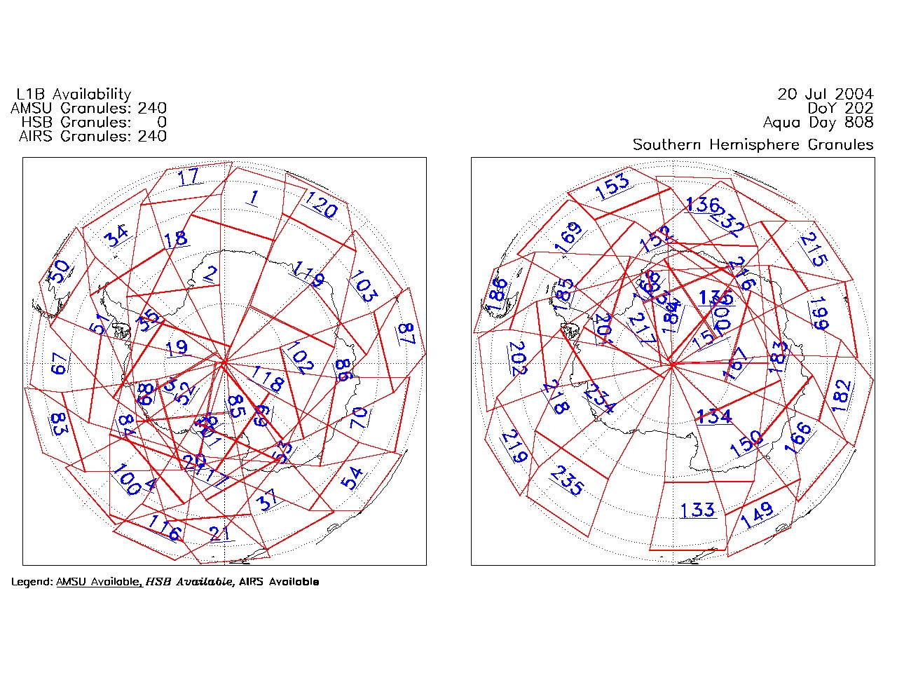
| AIRS.2004.07.20.GranuleMap.South.jpg | 2012-06-06T18:04:31GMT | 507616 |
|
||||||
| AIRS.2004.07.20.GranuleMap.pdf | 2012-06-06T18:04:30GMT | 333181 |
|
||||||
| AIRS.2004.07.20.GranuleMap.xml | 2012-06-06T18:04:31GMT | 2533 |
|
|
THREDDS Catalog XML
|