| Name | Last Modified | Size | DAP Response Links | Dataset Viewers | |||||
|---|---|---|---|---|---|---|---|---|---|
| AIRS.2004.07.19.GranuleMap.Ascending.jpg | 2012-06-06T18:04:30GMT | 639229 |
|
||||||
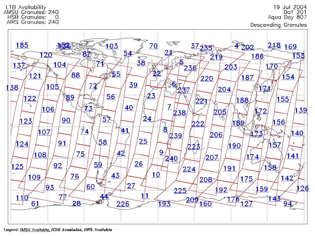
| AIRS.2004.07.19.GranuleMap.Descending.jpg | 2012-06-06T18:04:30GMT | 644254 |
|
||||||
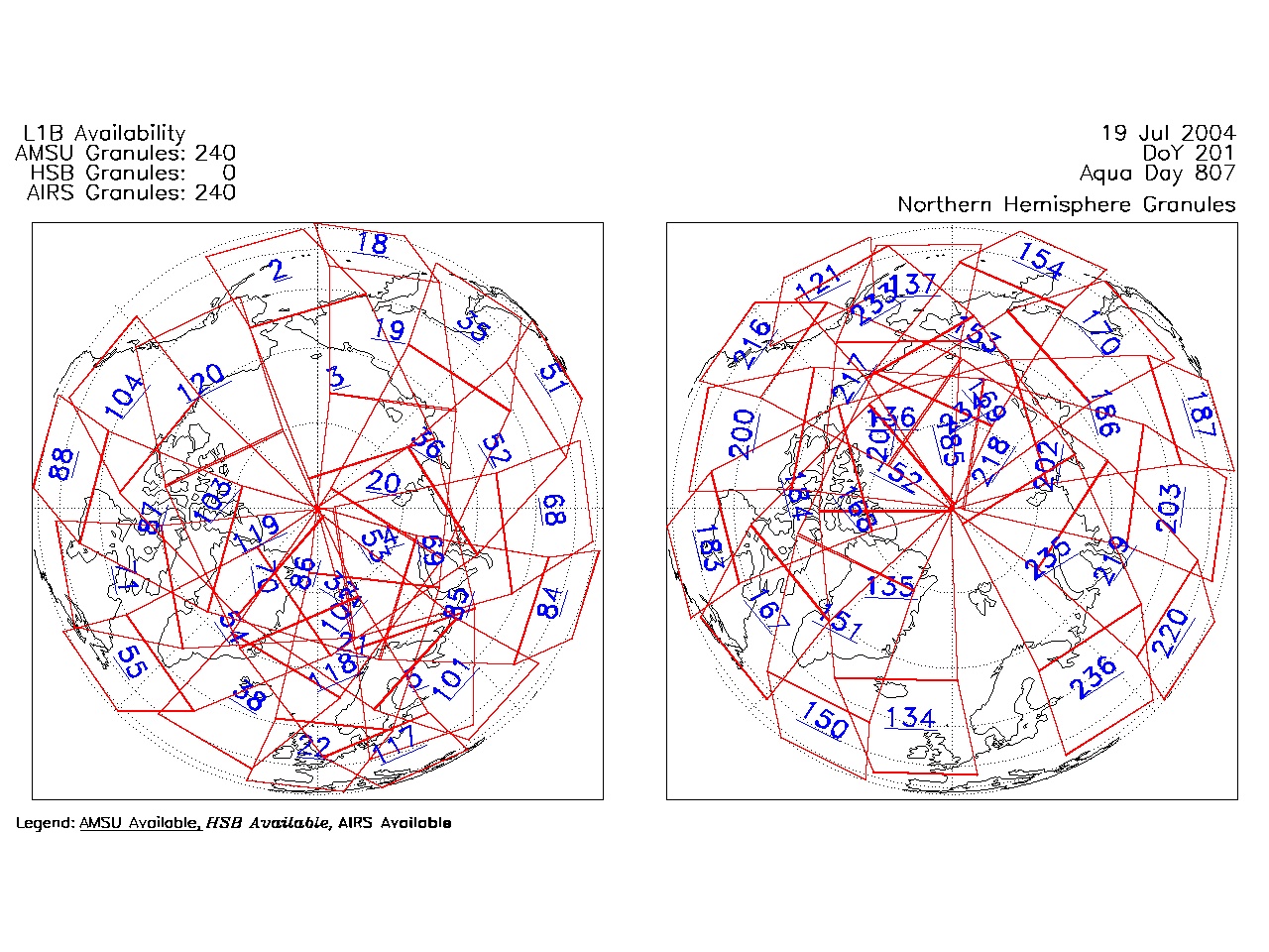
| AIRS.2004.07.19.GranuleMap.North.jpg | 2012-06-06T18:04:30GMT | 538795 |
|
||||||
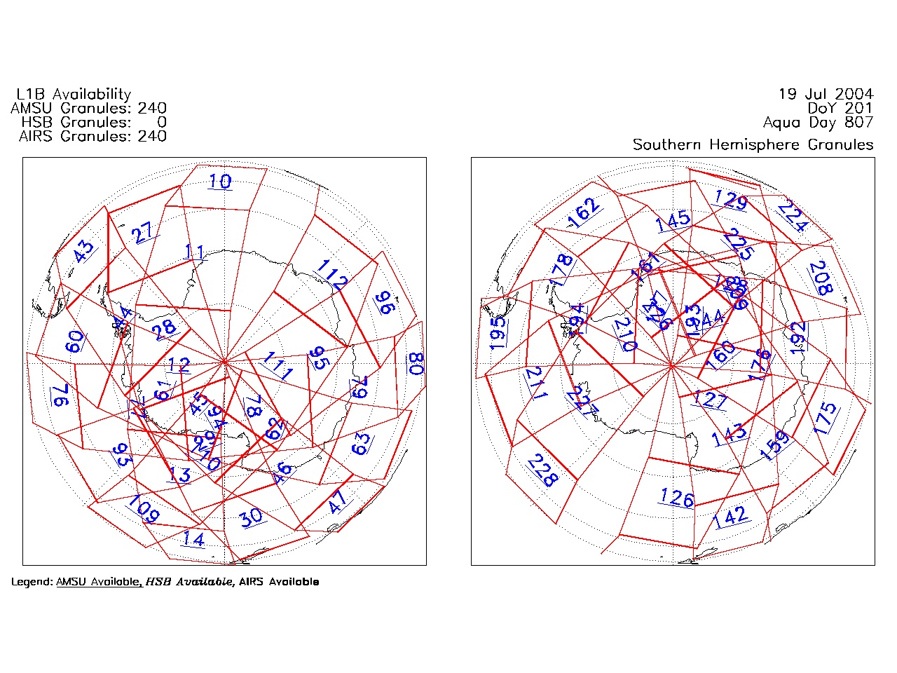
| AIRS.2004.07.19.GranuleMap.South.jpg | 2012-06-06T18:04:30GMT | 486956 |
|
||||||
| AIRS.2004.07.19.GranuleMap.pdf | 2012-06-06T18:04:30GMT | 333224 |
|
||||||
| AIRS.2004.07.19.GranuleMap.xml | 2012-06-06T18:04:30GMT | 2533 |
|
|
THREDDS Catalog XML
|