| Name | Last Modified | Size | DAP Response Links | Dataset Viewers | |||||
|---|---|---|---|---|---|---|---|---|---|
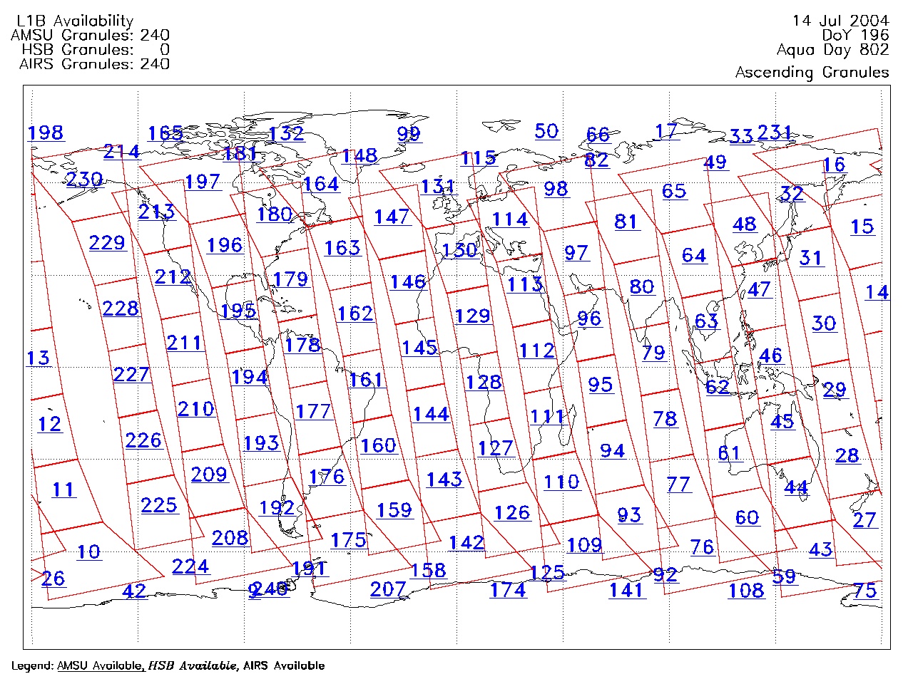
| AIRS.2004.07.14.GranuleMap.Ascending.jpg | 2012-06-06T18:04:20GMT | 622307 |
|
||||||
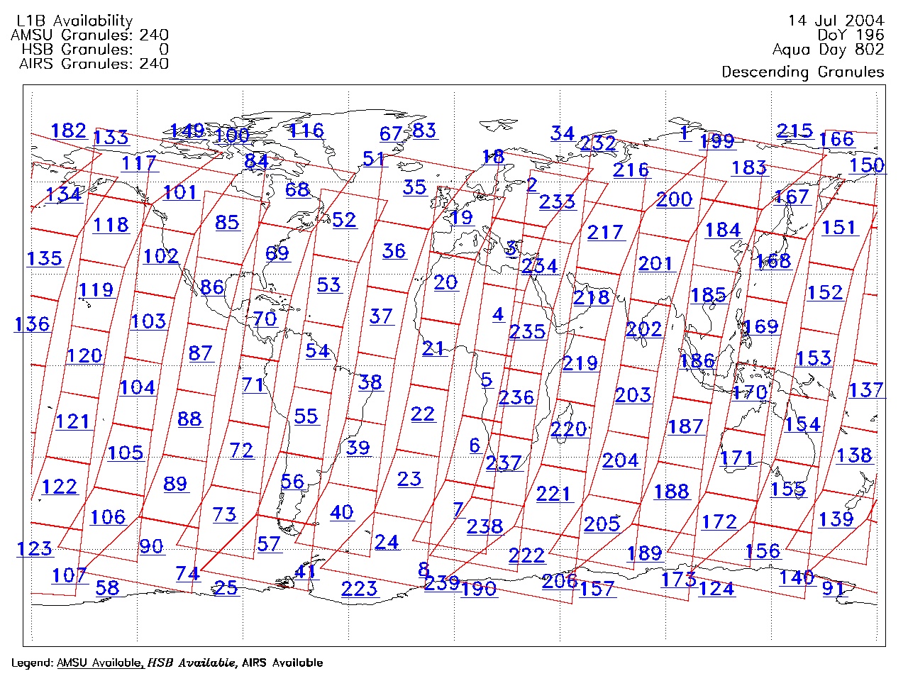
| AIRS.2004.07.14.GranuleMap.Descending.jpg | 2012-06-06T18:04:20GMT | 658872 |
|
||||||
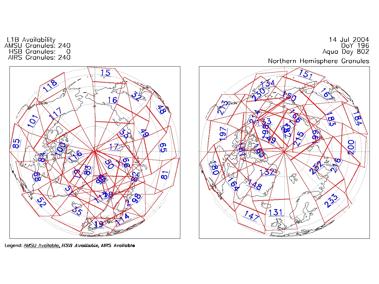
| AIRS.2004.07.14.GranuleMap.North.jpg | 2012-06-06T18:04:20GMT | 532201 |
|
||||||
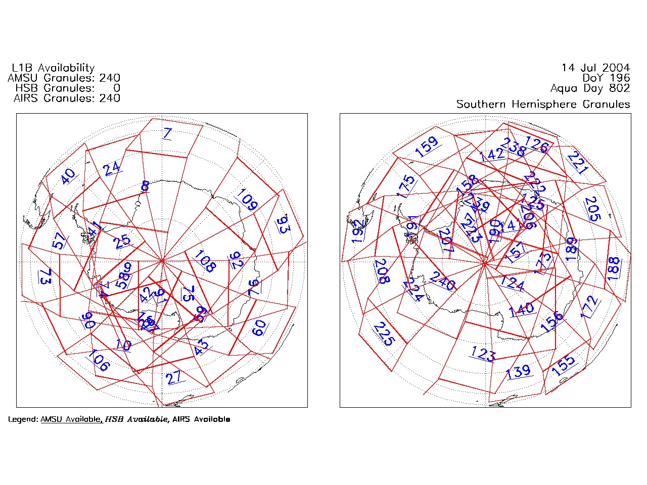
| AIRS.2004.07.14.GranuleMap.South.jpg | 2012-06-06T18:04:20GMT | 493907 |
|
||||||
| AIRS.2004.07.14.GranuleMap.pdf | 2012-06-06T18:04:20GMT | 333577 |
|
||||||
| AIRS.2004.07.14.GranuleMap.xml | 2012-06-06T18:04:20GMT | 2534 |
|
|
THREDDS Catalog XML
|