| Name | Last Modified | Size | DAP Response Links | Dataset Viewers | |||||
|---|---|---|---|---|---|---|---|---|---|
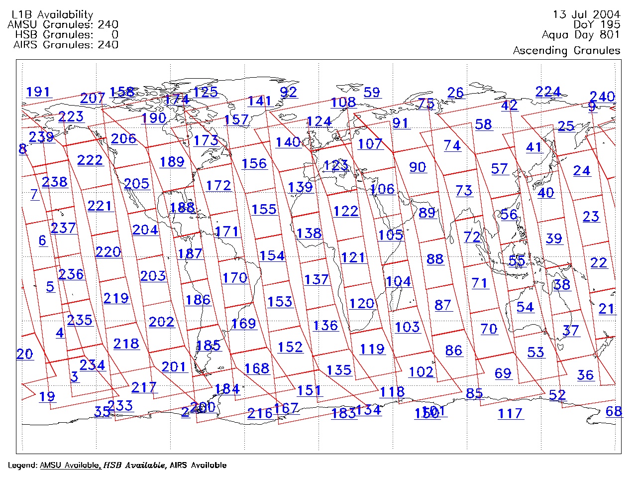
| AIRS.2004.07.13.GranuleMap.Ascending.jpg | 2012-06-06T18:04:20GMT | 653359 |
|
||||||
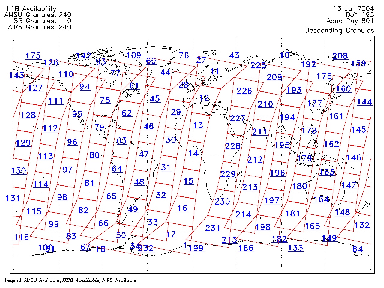
| AIRS.2004.07.13.GranuleMap.Descending.jpg | 2012-06-06T18:04:20GMT | 624803 |
|
||||||
| AIRS.2004.07.13.GranuleMap.North.jpg | 2012-06-06T18:04:20GMT | 525011 |
|
||||||
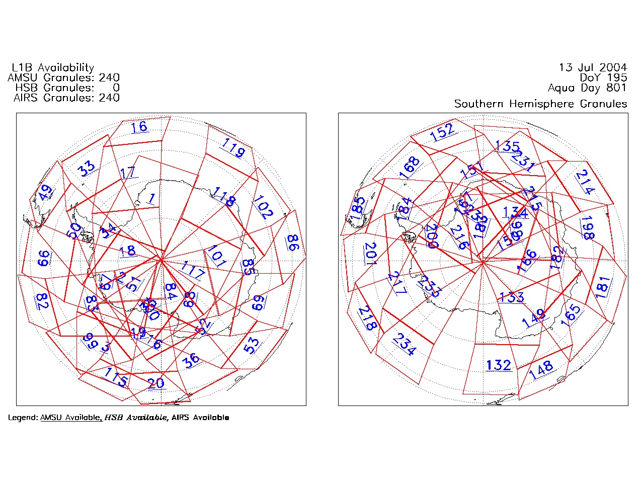
| AIRS.2004.07.13.GranuleMap.South.jpg | 2012-06-06T18:04:20GMT | 503423 |
|
||||||
| AIRS.2004.07.13.GranuleMap.pdf | 2012-06-06T18:04:20GMT | 333268 |
|
||||||
| AIRS.2004.07.13.GranuleMap.xml | 2012-06-06T18:04:20GMT | 2533 |
|
|
THREDDS Catalog XML
|