| Name | Last Modified | Size | DAP Response Links | Dataset Viewers | |||||
|---|---|---|---|---|---|---|---|---|---|
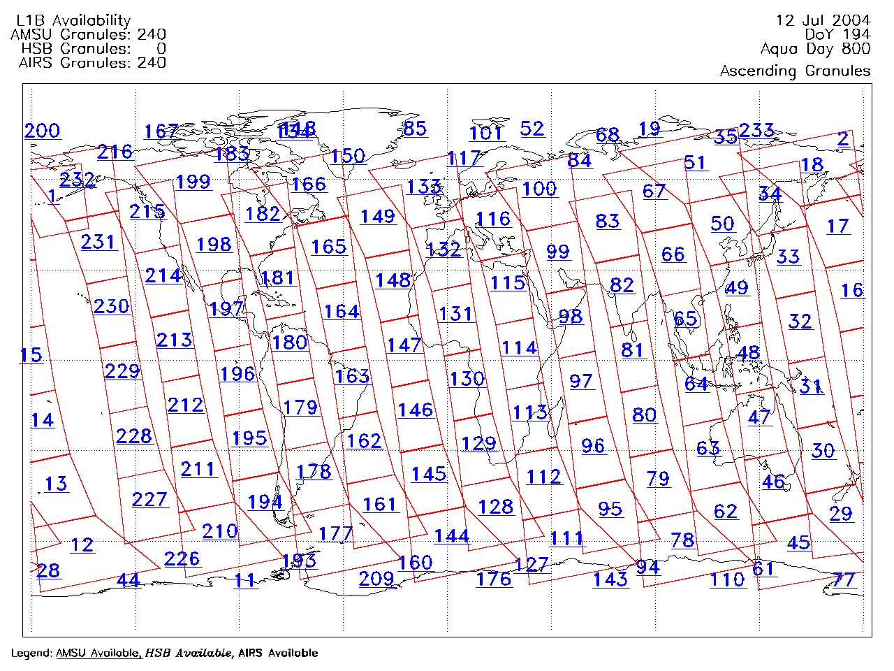
| AIRS.2004.07.12.GranuleMap.Ascending.jpg | 2012-06-06T18:04:15GMT | 632231 |
|
||||||
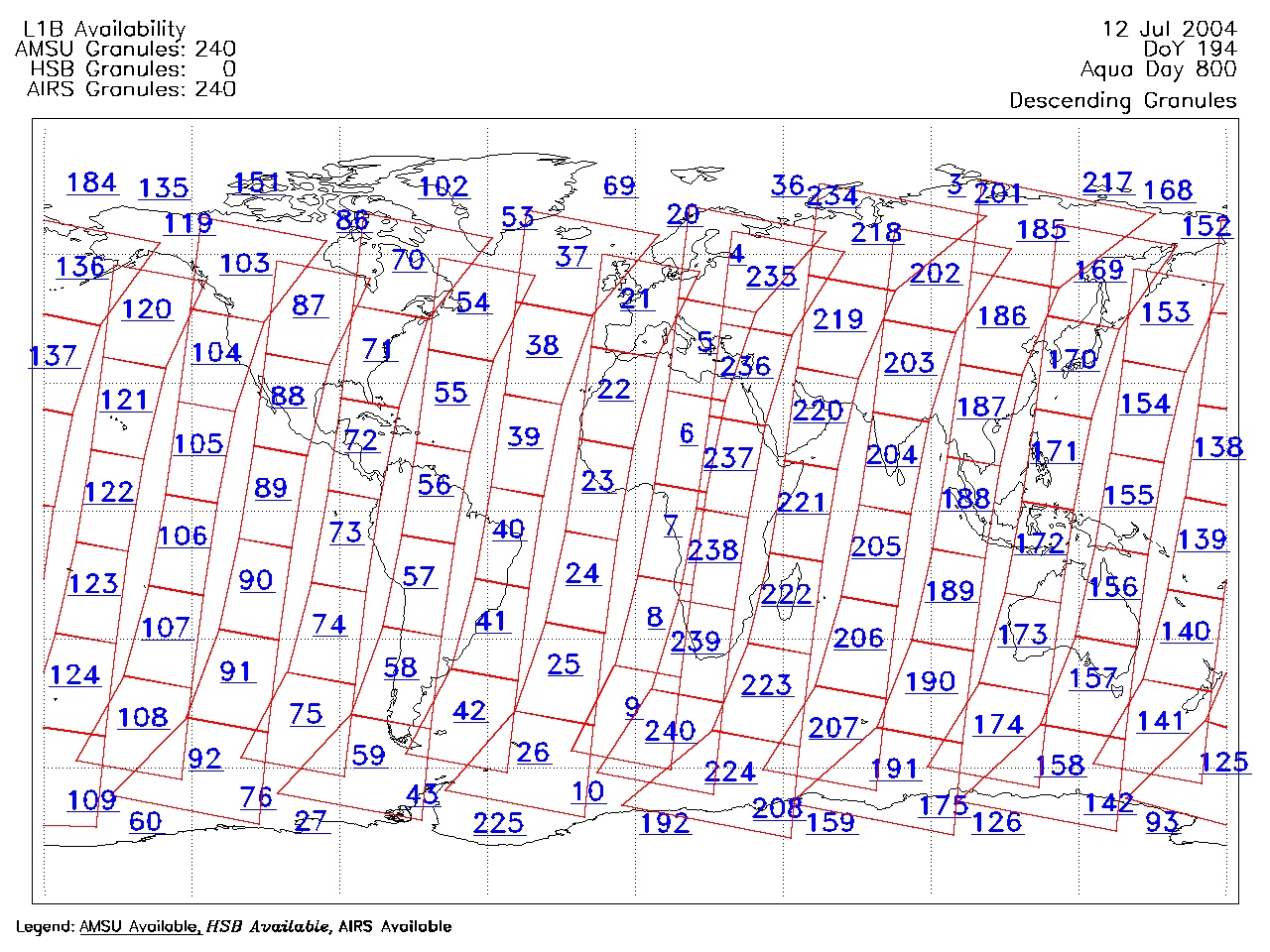
| AIRS.2004.07.12.GranuleMap.Descending.jpg | 2012-06-06T18:04:15GMT | 650777 |
|
||||||
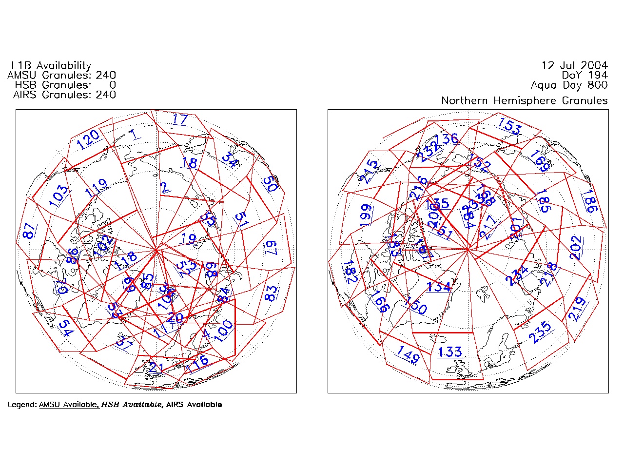
| AIRS.2004.07.12.GranuleMap.North.jpg | 2012-06-06T18:04:15GMT | 539716 |
|
||||||
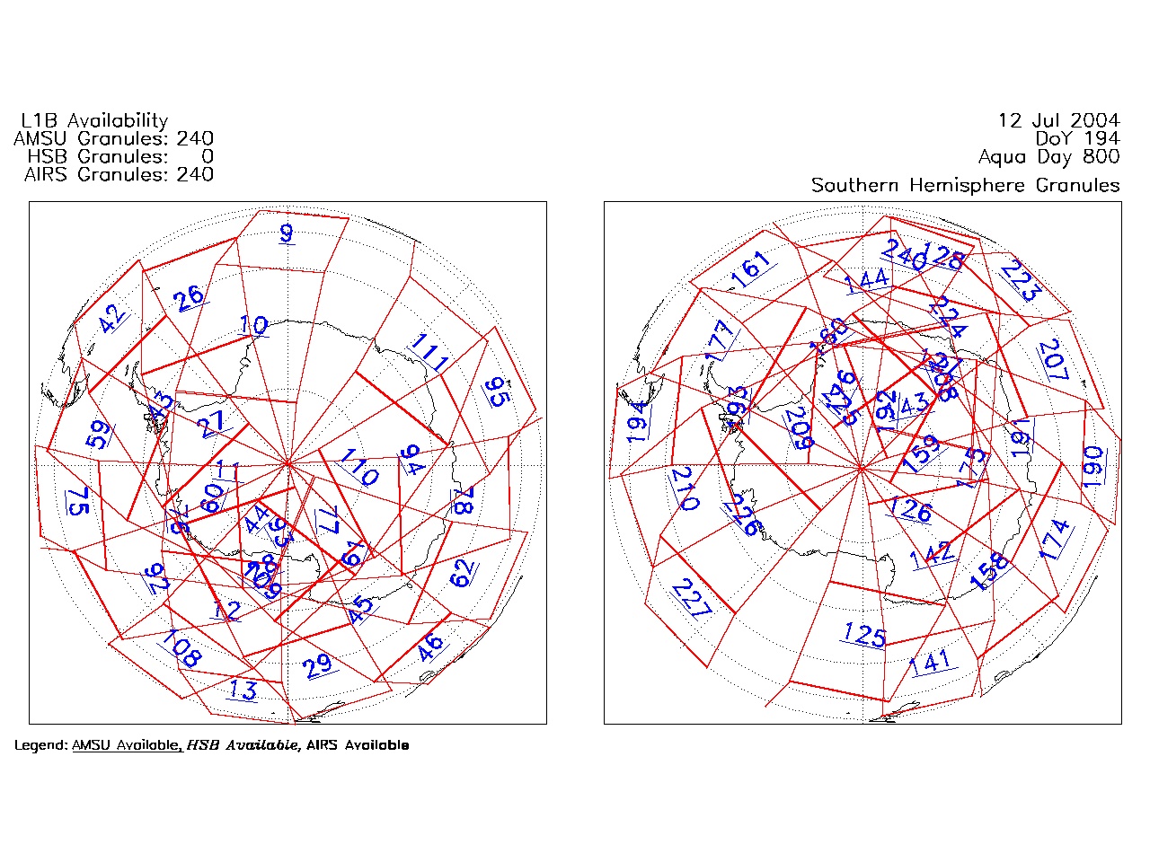
| AIRS.2004.07.12.GranuleMap.South.jpg | 2012-06-06T18:04:15GMT | 489590 |
|
||||||
| AIRS.2004.07.12.GranuleMap.pdf | 2012-06-06T18:04:15GMT | 333612 |
|
||||||
| AIRS.2004.07.12.GranuleMap.xml | 2012-06-06T18:04:15GMT | 2534 |
|
|
THREDDS Catalog XML
|