| Name | Last Modified | Size | DAP Response Links | Dataset Viewers | |||||
|---|---|---|---|---|---|---|---|---|---|
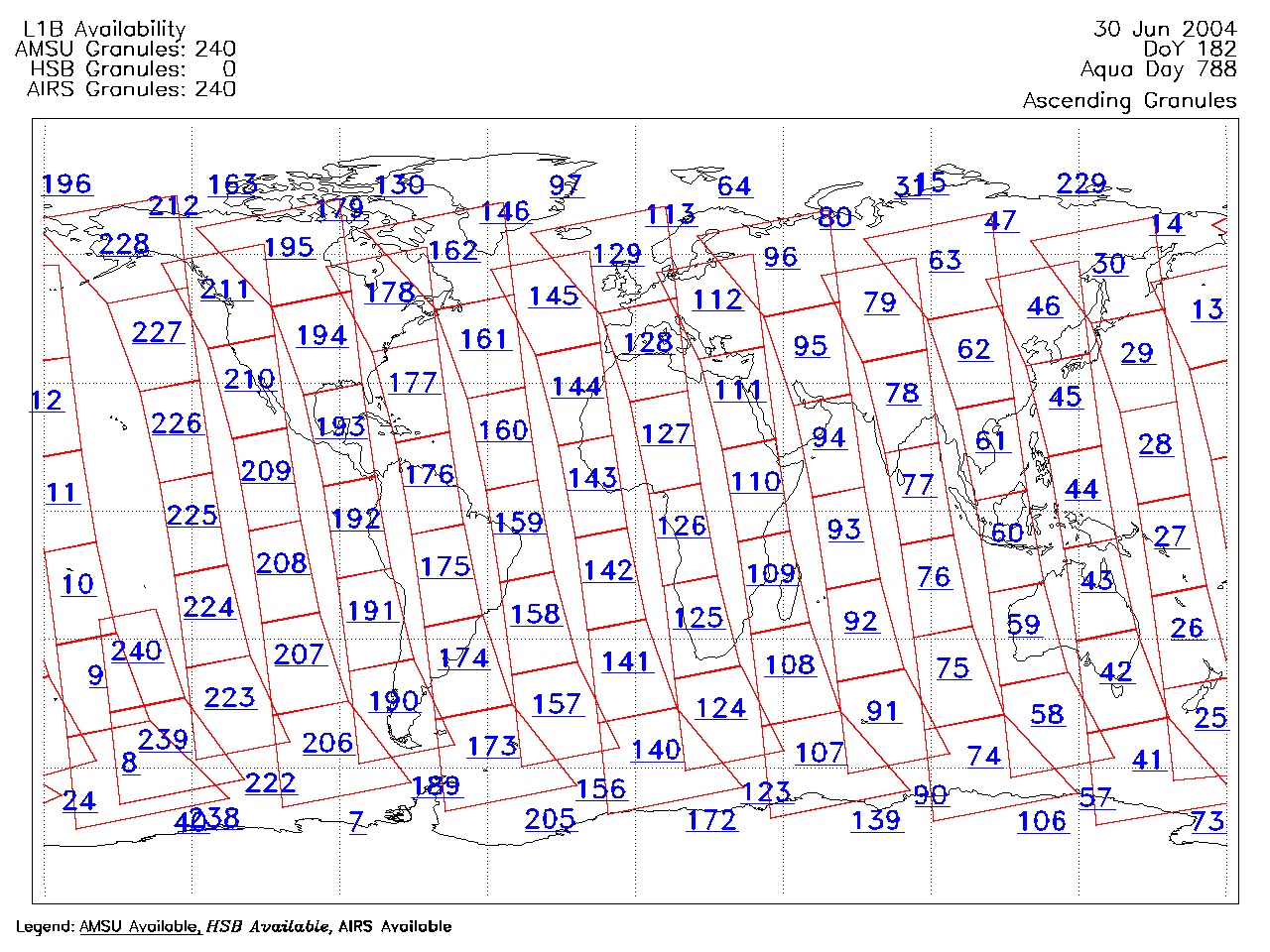
| AIRS.2004.06.30.GranuleMap.Ascending.jpg | 2012-06-06T18:03:54GMT | 627445 |
|
||||||
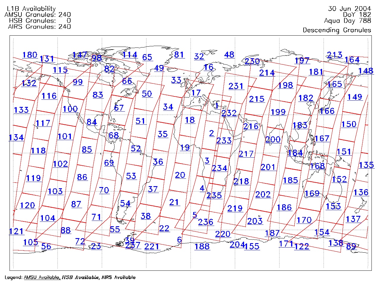
| AIRS.2004.06.30.GranuleMap.Descending.jpg | 2012-06-06T18:03:54GMT | 652795 |
|
||||||
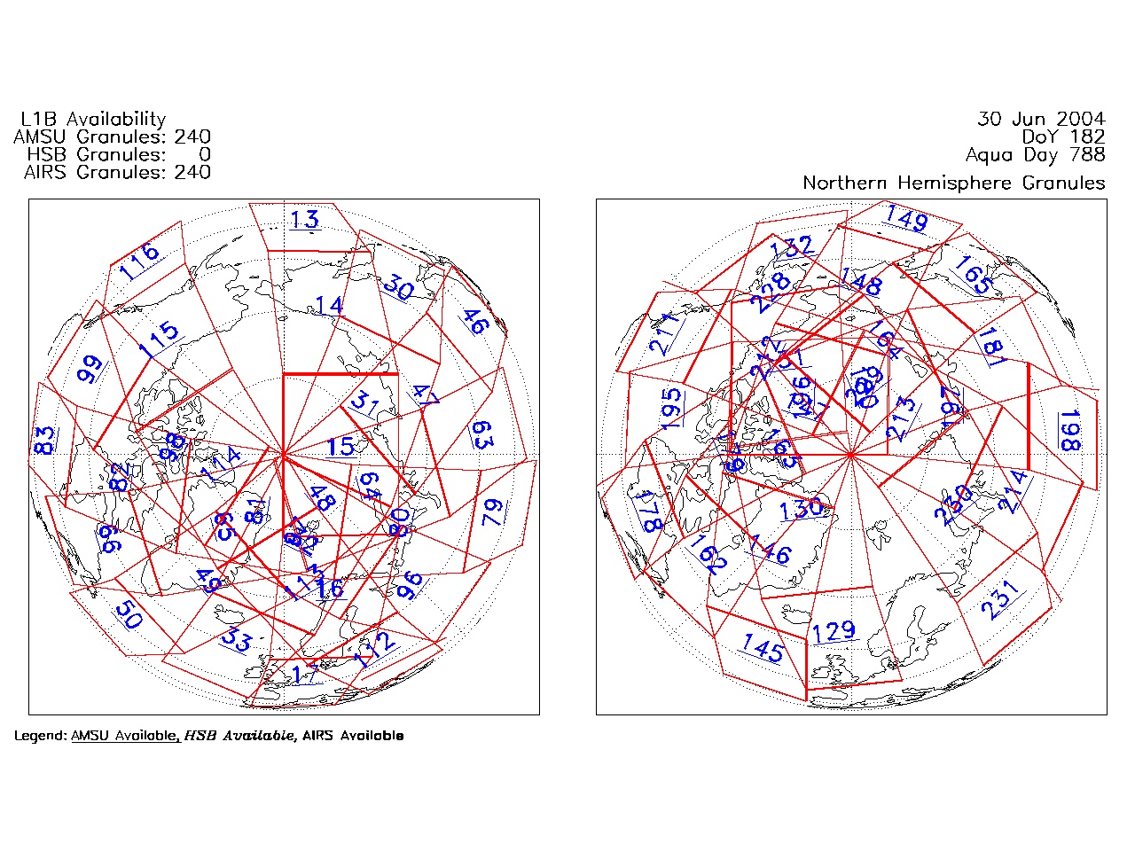
| AIRS.2004.06.30.GranuleMap.North.jpg | 2012-06-06T18:03:54GMT | 525806 |
|
||||||
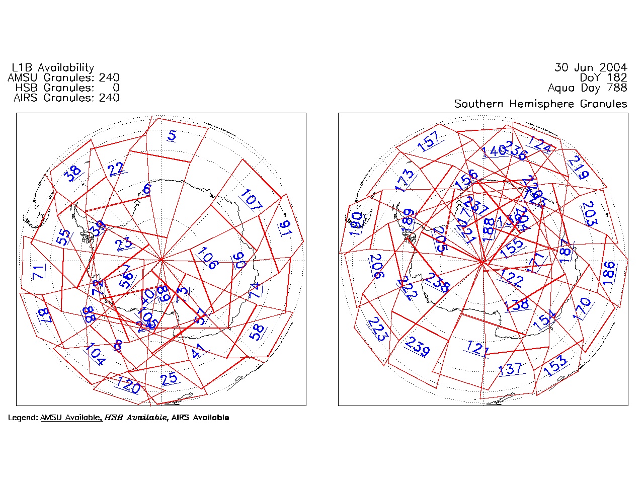
| AIRS.2004.06.30.GranuleMap.South.jpg | 2012-06-06T18:03:55GMT | 505391 |
|
||||||
| AIRS.2004.06.30.GranuleMap.pdf | 2012-06-06T18:03:54GMT | 333234 |
|
||||||
| AIRS.2004.06.30.GranuleMap.xml | 2012-06-06T18:03:55GMT | 2535 |
|
|
THREDDS Catalog XML
|