| Name | Last Modified | Size | DAP Response Links | Dataset Viewers | |||||
|---|---|---|---|---|---|---|---|---|---|
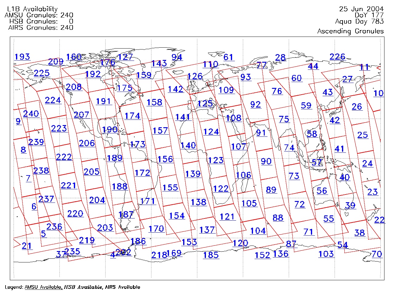
| AIRS.2004.06.25.GranuleMap.Ascending.jpg | 2012-06-06T18:03:49GMT | 646410 |
|
||||||
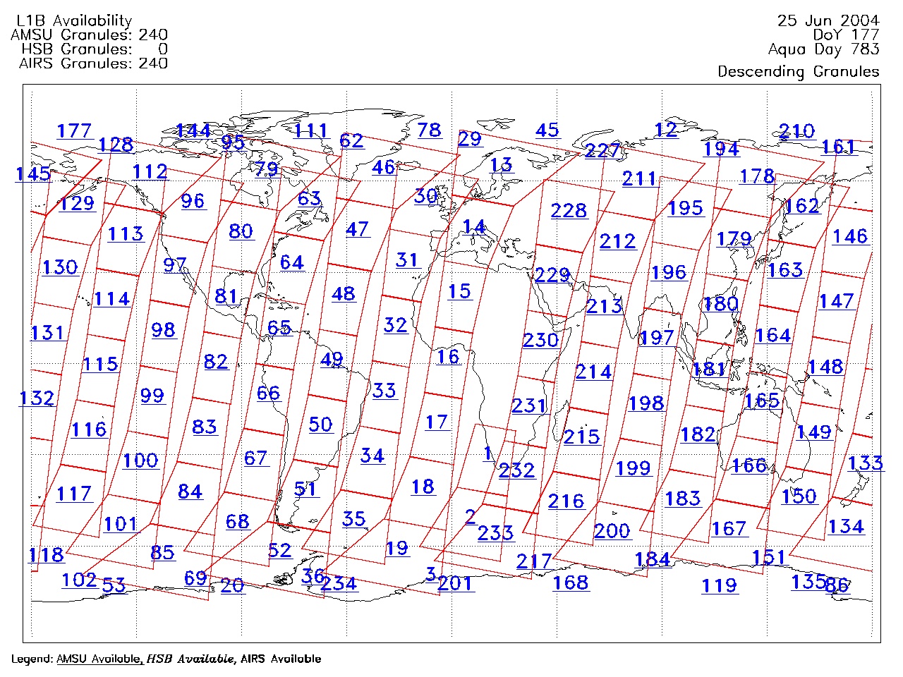
| AIRS.2004.06.25.GranuleMap.Descending.jpg | 2012-06-06T18:03:49GMT | 637899 |
|
||||||
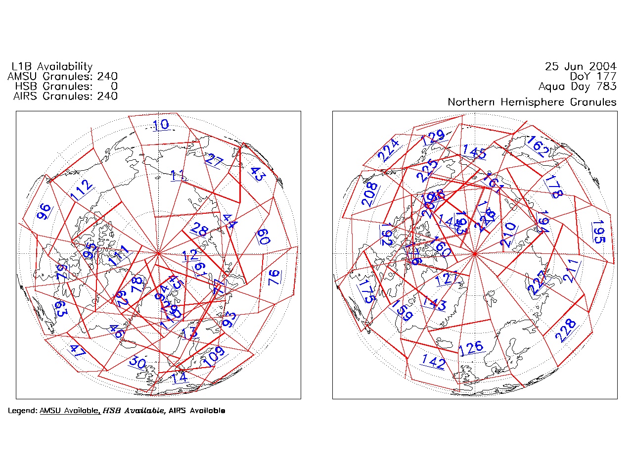
| AIRS.2004.06.25.GranuleMap.North.jpg | 2012-06-06T18:03:49GMT | 521115 |
|
||||||
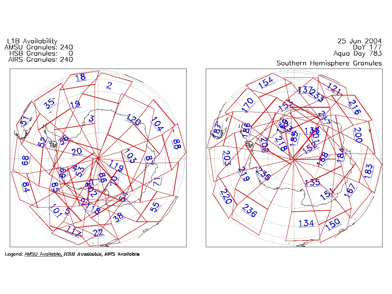
| AIRS.2004.06.25.GranuleMap.South.jpg | 2012-06-06T18:03:50GMT | 508294 |
|
||||||
| AIRS.2004.06.25.GranuleMap.pdf | 2012-06-06T18:03:49GMT | 333210 |
|
||||||
| AIRS.2004.06.25.GranuleMap.xml | 2012-06-06T18:03:50GMT | 2533 |
|
|
THREDDS Catalog XML
|