| Name | Last Modified | Size | DAP Response Links | Dataset Viewers | |||||
|---|---|---|---|---|---|---|---|---|---|
| AIRS.2004.06.19.GranuleMap.Ascending.jpg | 2012-06-06T18:03:39GMT | 624275 |
|
||||||
| AIRS.2004.06.19.GranuleMap.Descending.jpg | 2012-06-06T18:03:39GMT | 655449 |
|
||||||
| AIRS.2004.06.19.GranuleMap.North.jpg | 2012-06-06T18:03:40GMT | 534120 |
|
||||||
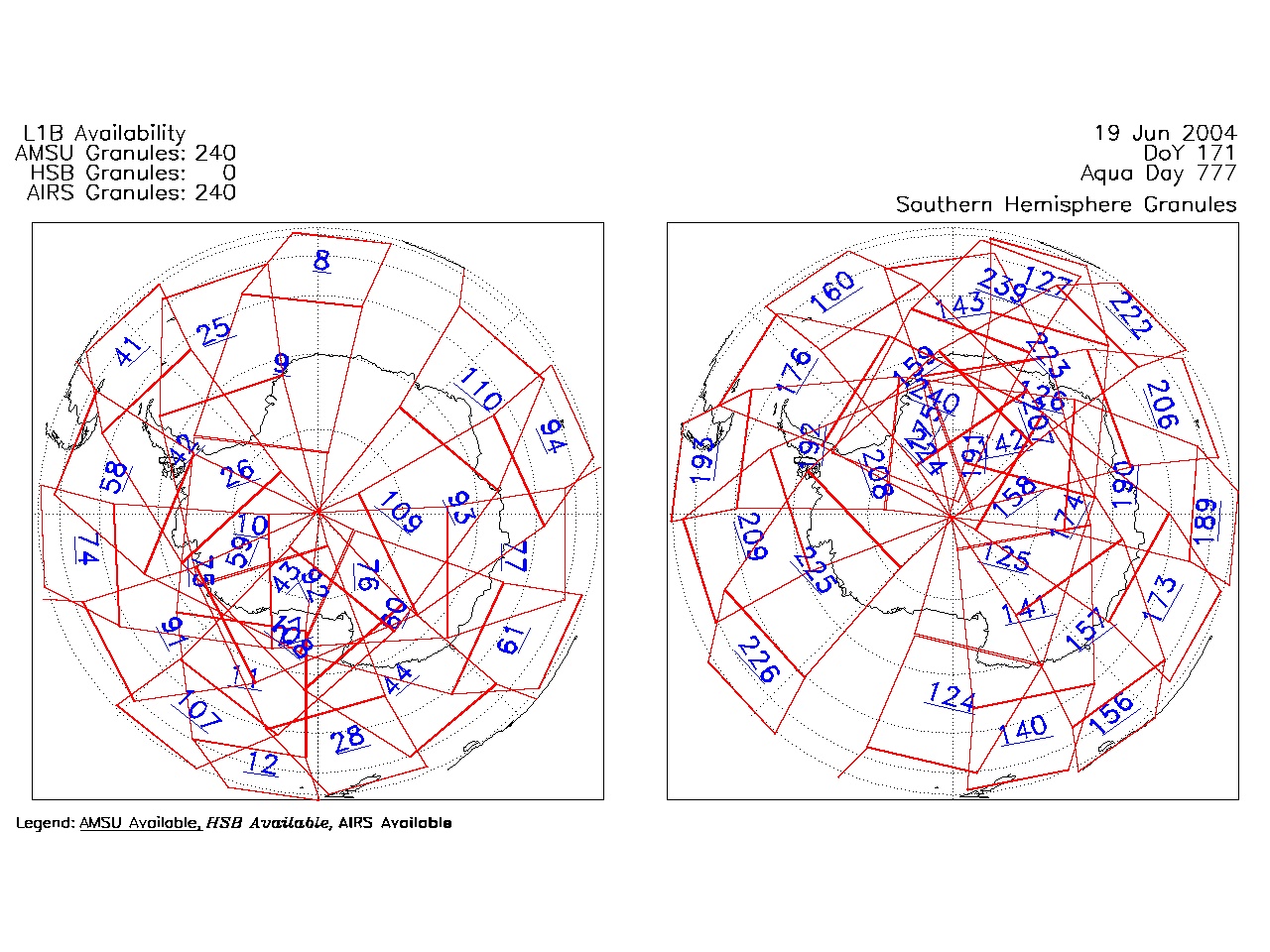
| AIRS.2004.06.19.GranuleMap.South.jpg | 2012-06-06T18:03:40GMT | 492102 |
|
||||||
| AIRS.2004.06.19.GranuleMap.pdf | 2012-06-06T18:03:39GMT | 333581 |
|
||||||
| AIRS.2004.06.19.GranuleMap.xml | 2012-06-06T18:03:40GMT | 2535 |
|
|
THREDDS Catalog XML
|