| Name | Last Modified | Size | DAP Response Links | Dataset Viewers | |||||
|---|---|---|---|---|---|---|---|---|---|
| AIRS.2004.06.16.GranuleMap.Ascending.jpg | 2012-06-06T18:03:34GMT | 640336 |
|
||||||
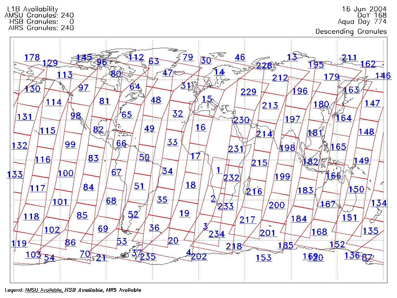
| AIRS.2004.06.16.GranuleMap.Descending.jpg | 2012-06-06T18:03:34GMT | 643564 |
|
||||||
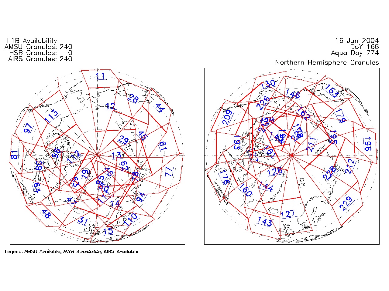
| AIRS.2004.06.16.GranuleMap.North.jpg | 2012-06-06T18:03:34GMT | 521076 |
|
||||||
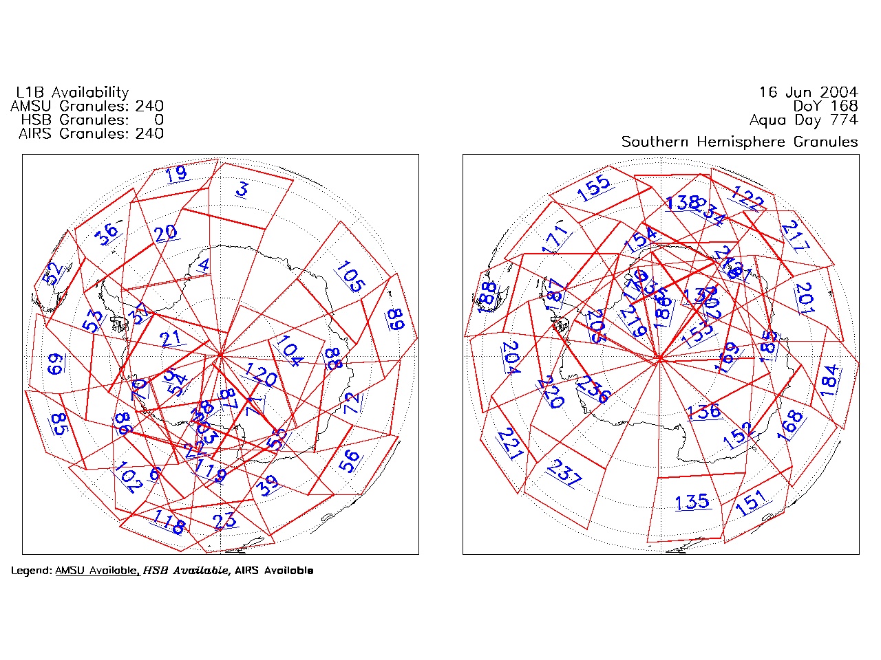
| AIRS.2004.06.16.GranuleMap.South.jpg | 2012-06-06T18:03:34GMT | 507045 |
|
||||||
| AIRS.2004.06.16.GranuleMap.pdf | 2012-06-06T18:03:34GMT | 333263 |
|
||||||
| AIRS.2004.06.16.GranuleMap.xml | 2012-06-06T18:03:34GMT | 2533 |
|
|
THREDDS Catalog XML
|