| Name | Last Modified | Size | DAP Response Links | Dataset Viewers | |||||
|---|---|---|---|---|---|---|---|---|---|
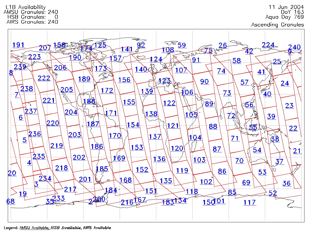
| AIRS.2004.06.11.GranuleMap.Ascending.jpg | 2012-06-06T18:03:24GMT | 654900 |
|
||||||
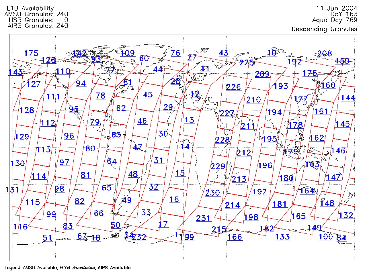
| AIRS.2004.06.11.GranuleMap.Descending.jpg | 2012-06-06T18:03:24GMT | 623122 |
|
||||||
| AIRS.2004.06.11.GranuleMap.North.jpg | 2012-06-06T18:03:24GMT | 525033 |
|
||||||
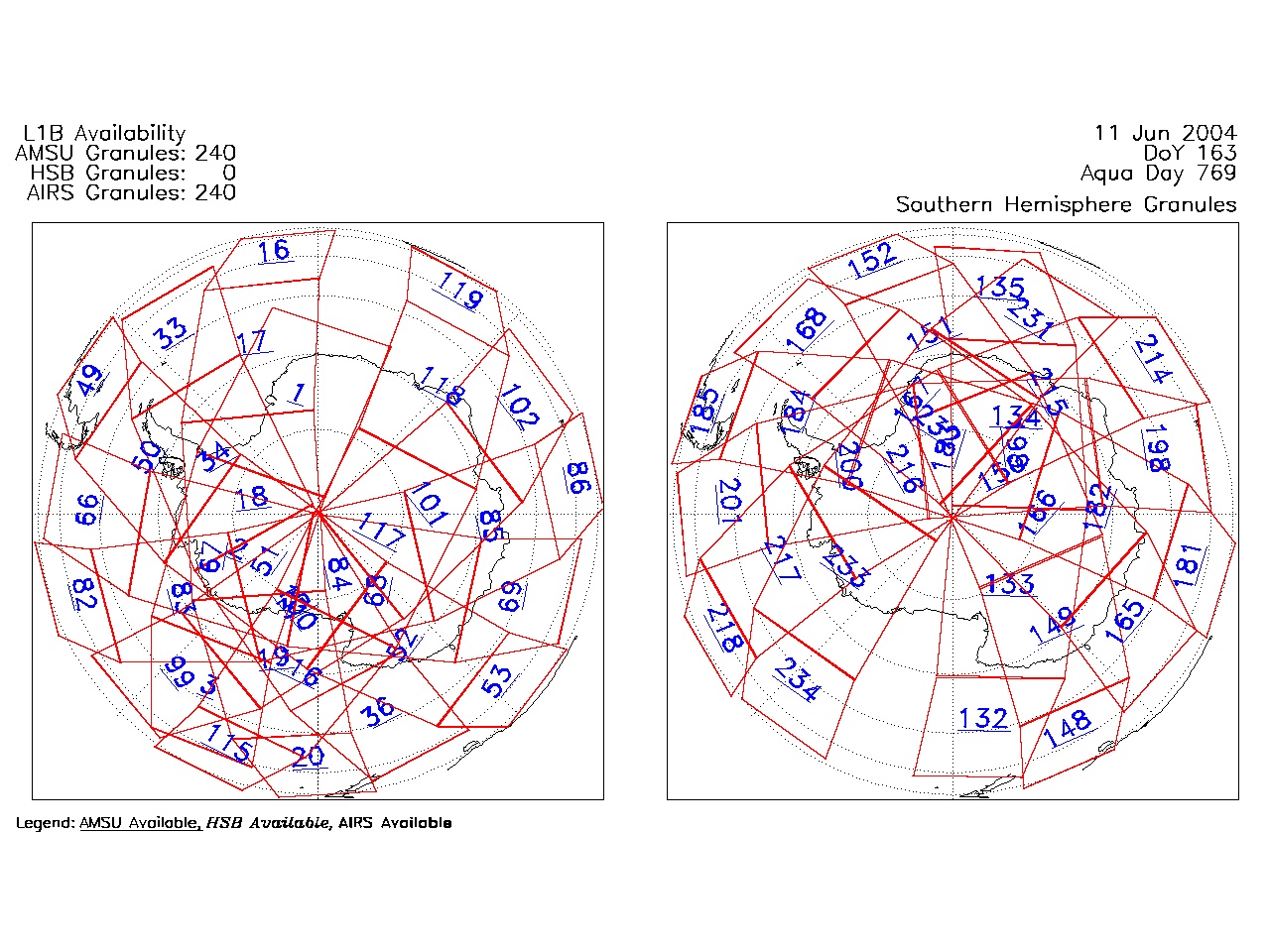
| AIRS.2004.06.11.GranuleMap.South.jpg | 2012-06-06T18:03:24GMT | 505077 |
|
||||||
| AIRS.2004.06.11.GranuleMap.pdf | 2012-06-06T18:03:24GMT | 333146 |
|
||||||
| AIRS.2004.06.11.GranuleMap.xml | 2012-06-06T18:03:24GMT | 2535 |
|
|
THREDDS Catalog XML
|