| Name | Last Modified | Size | DAP Response Links | Dataset Viewers | |||||
|---|---|---|---|---|---|---|---|---|---|
| AIRS.2004.06.10.GranuleMap.Ascending.jpg | 2012-06-06T18:03:24GMT | 633223 |
|
||||||
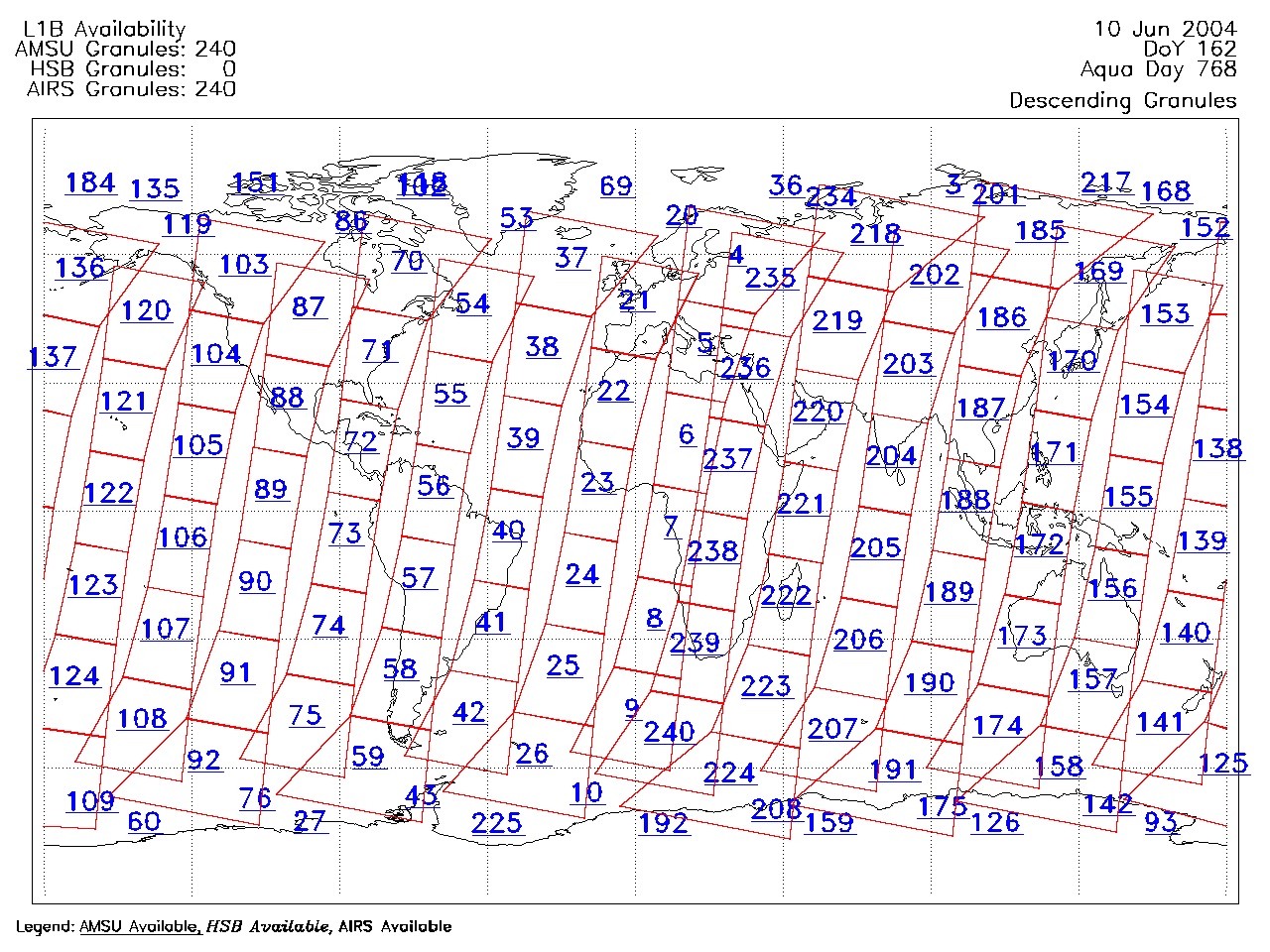
| AIRS.2004.06.10.GranuleMap.Descending.jpg | 2012-06-06T18:03:24GMT | 652939 |
|
||||||
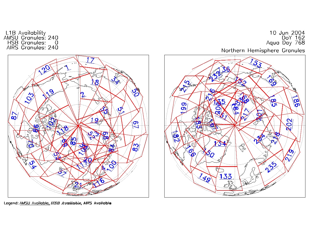
| AIRS.2004.06.10.GranuleMap.North.jpg | 2012-06-06T18:03:25GMT | 538871 |
|
||||||
| AIRS.2004.06.10.GranuleMap.South.jpg | 2012-06-06T18:03:25GMT | 489042 |
|
||||||
| AIRS.2004.06.10.GranuleMap.pdf | 2012-06-06T18:03:24GMT | 333467 |
|
||||||
| AIRS.2004.06.10.GranuleMap.xml | 2012-06-06T18:03:25GMT | 2534 |
|
|
THREDDS Catalog XML
|