| Name | Last Modified | Size | DAP Response Links | Dataset Viewers | |||||
|---|---|---|---|---|---|---|---|---|---|
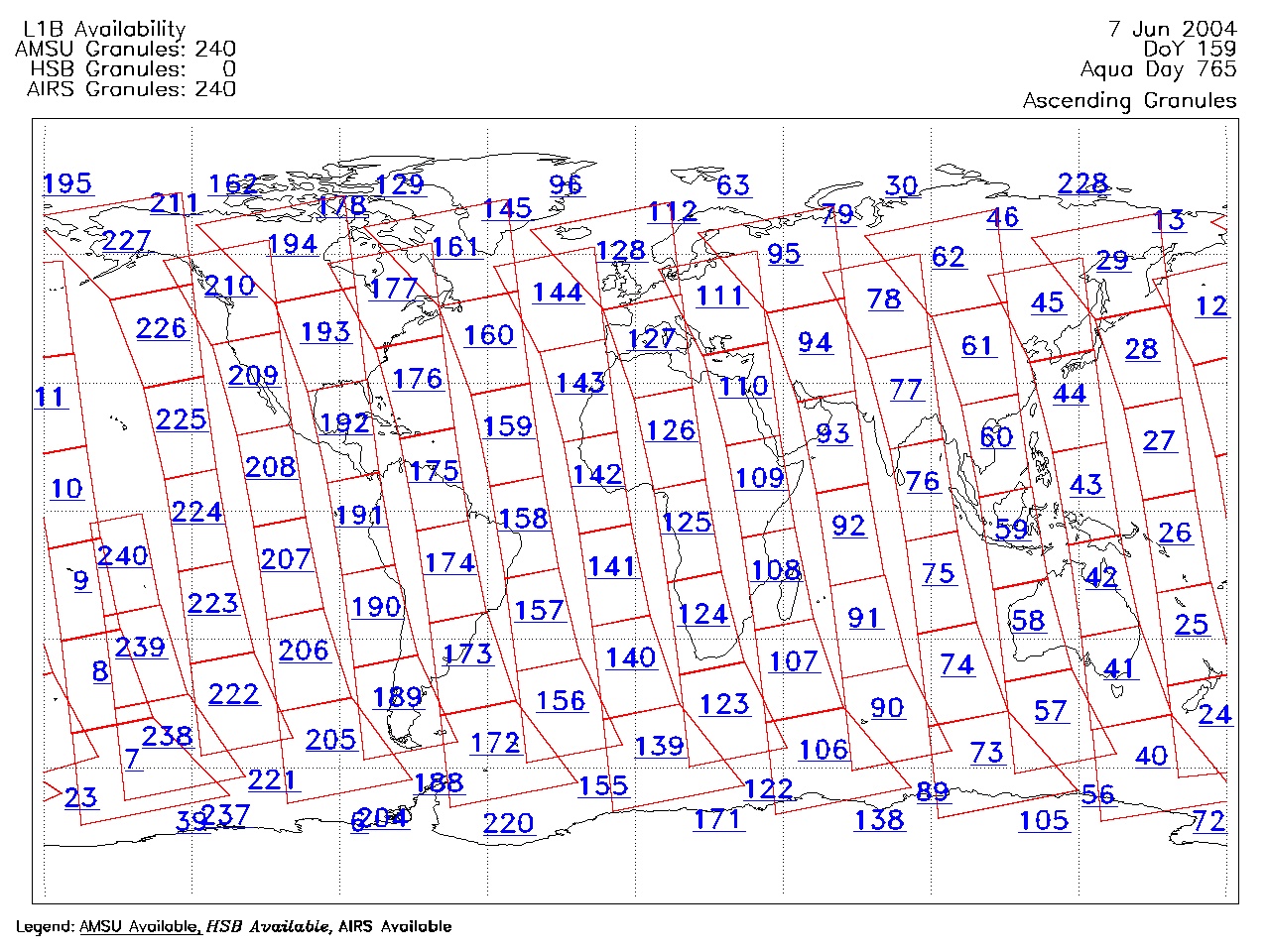
| AIRS.2004.06.07.GranuleMap.Ascending.jpg | 2012-06-06T18:03:19GMT | 631602 |
|
||||||
| AIRS.2004.06.07.GranuleMap.Descending.jpg | 2012-06-06T18:03:19GMT | 648810 |
|
||||||
| AIRS.2004.06.07.GranuleMap.North.jpg | 2012-06-06T18:03:19GMT | 520634 |
|
||||||
| AIRS.2004.06.07.GranuleMap.South.jpg | 2012-06-06T18:03:19GMT | 505971 |
|
||||||
| AIRS.2004.06.07.GranuleMap.pdf | 2012-06-06T18:03:19GMT | 333234 |
|
||||||
| AIRS.2004.06.07.GranuleMap.xml | 2012-06-06T18:03:19GMT | 2533 |
|
|
THREDDS Catalog XML
|