| Name | Last Modified | Size | DAP Response Links | Dataset Viewers | |||||
|---|---|---|---|---|---|---|---|---|---|
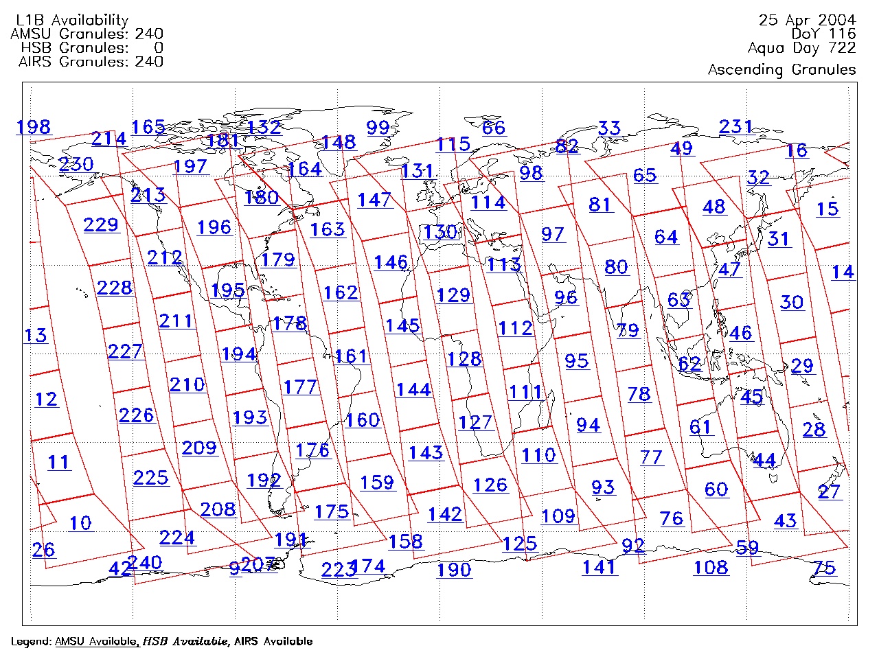
| AIRS.2004.04.25.GranuleMap.Ascending.jpg | 2012-06-06T18:02:03GMT | 623087 |
|
||||||
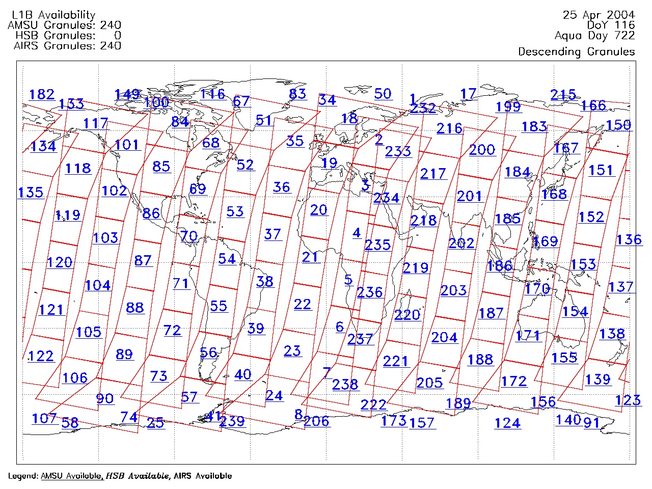
| AIRS.2004.04.25.GranuleMap.Descending.jpg | 2012-06-06T18:02:03GMT | 652665 |
|
||||||
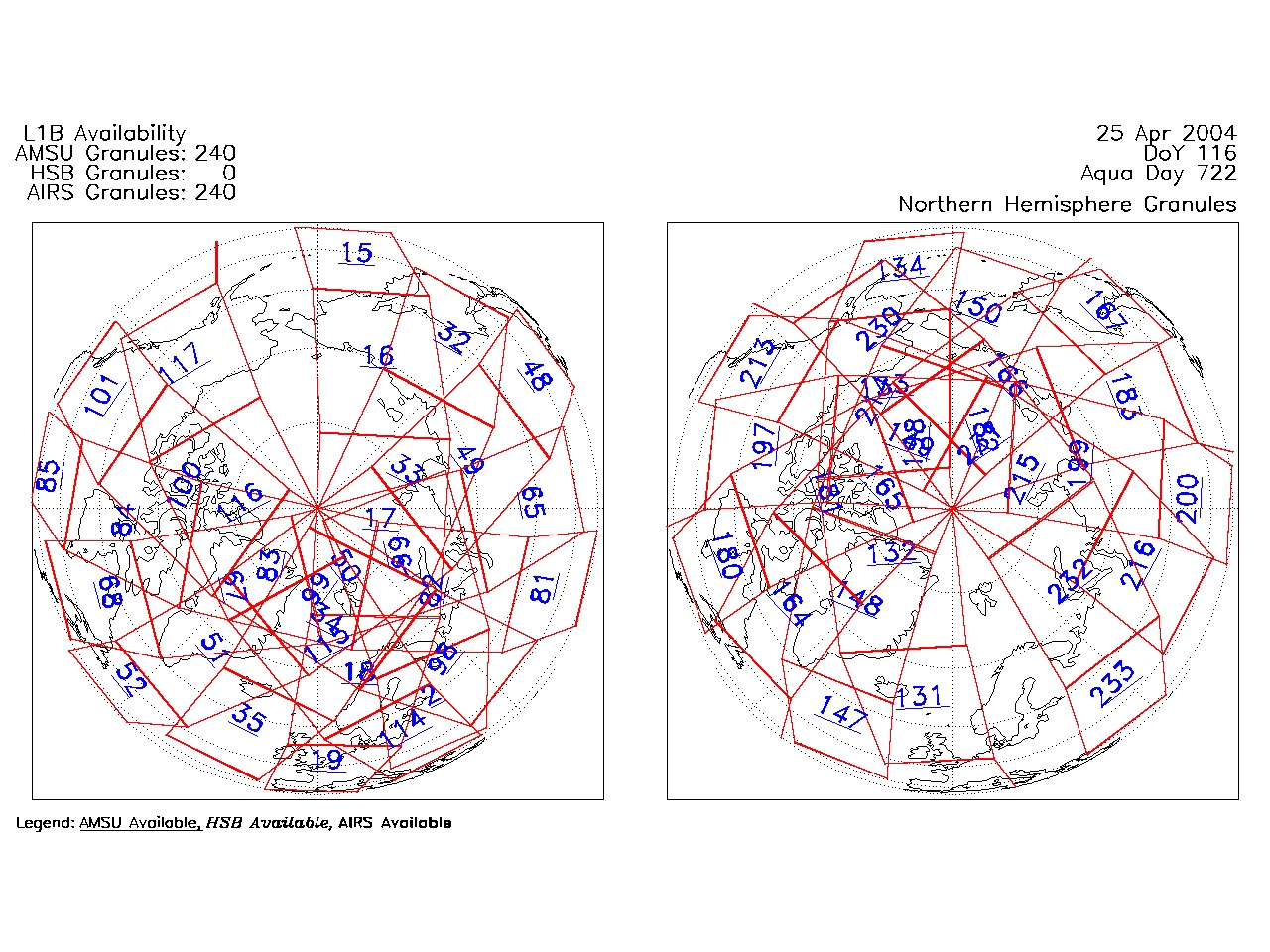
| AIRS.2004.04.25.GranuleMap.North.jpg | 2012-06-06T18:02:03GMT | 524939 |
|
||||||
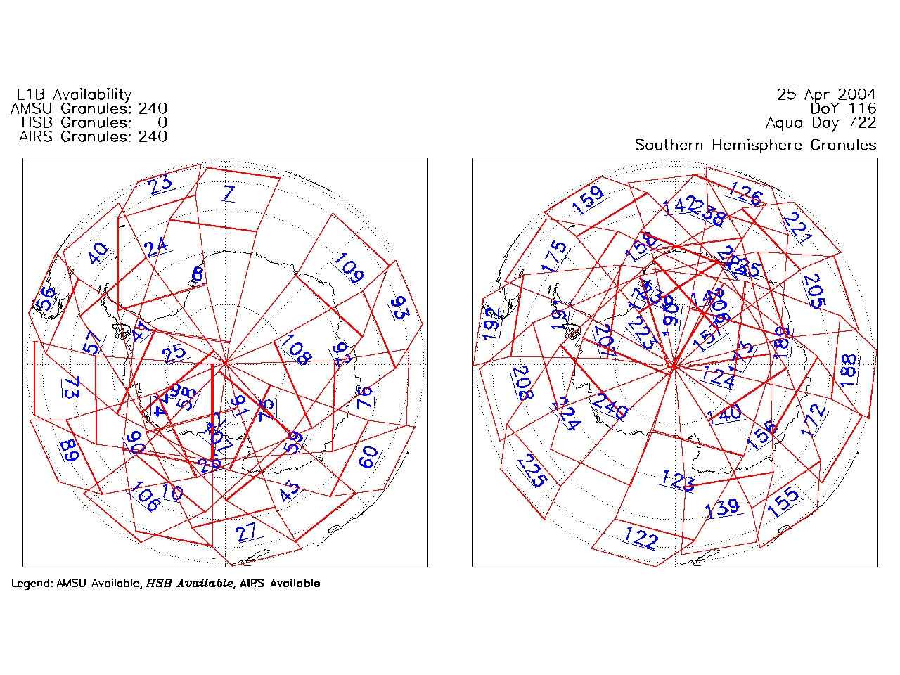
| AIRS.2004.04.25.GranuleMap.South.jpg | 2012-06-06T18:02:03GMT | 503375 |
|
||||||
| AIRS.2004.04.25.GranuleMap.pdf | 2012-06-06T18:02:03GMT | 333132 |
|
||||||
| AIRS.2004.04.25.GranuleMap.xml | 2012-06-06T18:02:03GMT | 2535 |
|
|
THREDDS Catalog XML
|