| Name | Last Modified | Size | DAP Response Links | Dataset Viewers | |||||
|---|---|---|---|---|---|---|---|---|---|
| AIRS.2004.04.22.GranuleMap.Ascending.jpg | 2012-06-06T18:01:58GMT | 656450 |
|
||||||
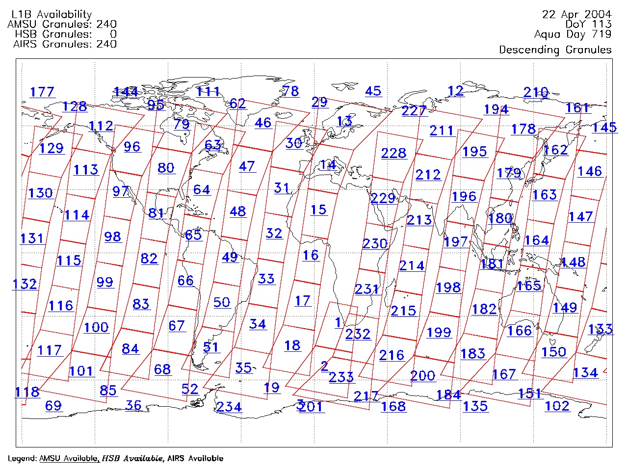
| AIRS.2004.04.22.GranuleMap.Descending.jpg | 2012-06-06T18:01:58GMT | 626656 |
|
||||||
| AIRS.2004.04.22.GranuleMap.North.jpg | 2012-06-06T18:01:58GMT | 523358 |
|
||||||
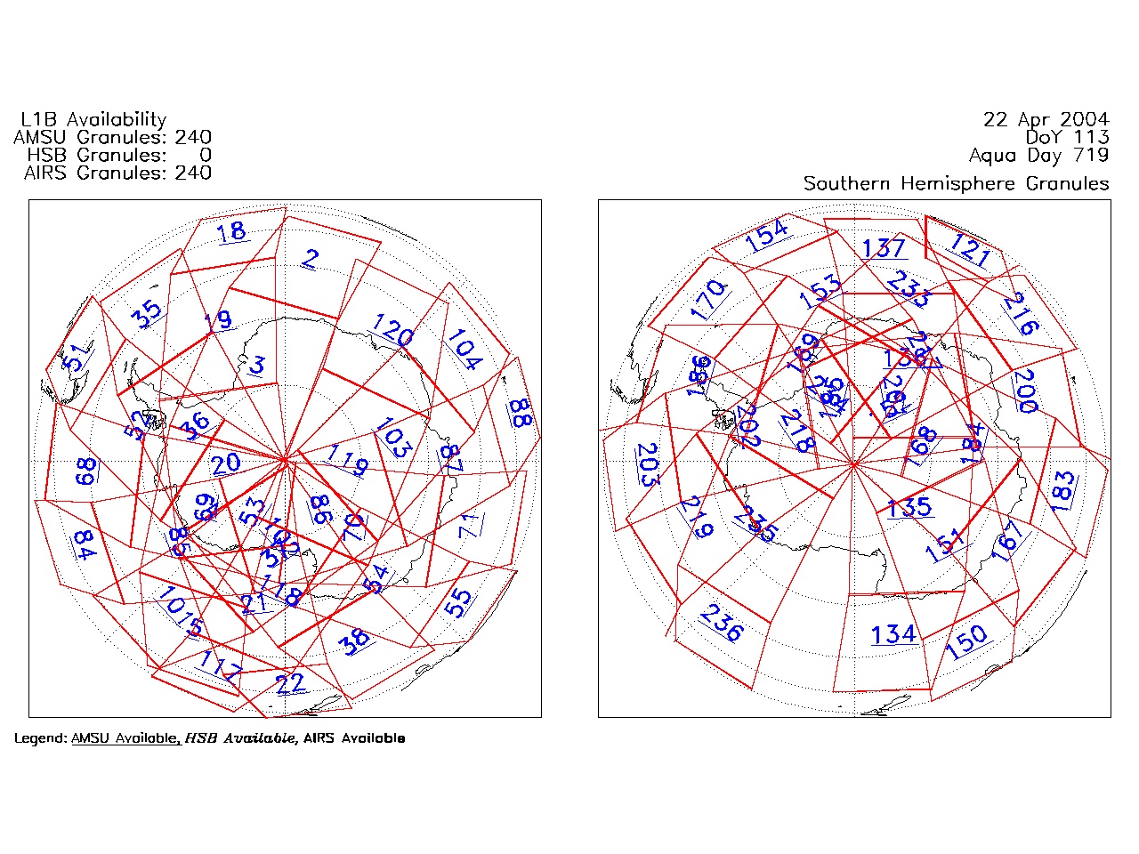
| AIRS.2004.04.22.GranuleMap.South.jpg | 2012-06-06T18:01:58GMT | 505846 |
|
||||||
| AIRS.2004.04.22.GranuleMap.pdf | 2012-06-06T18:01:58GMT | 333156 |
|
||||||
| AIRS.2004.04.22.GranuleMap.xml | 2012-06-06T18:01:58GMT | 2533 |
|
|
THREDDS Catalog XML
|