| Name | Last Modified | Size | DAP Response Links | Dataset Viewers | |||||
|---|---|---|---|---|---|---|---|---|---|
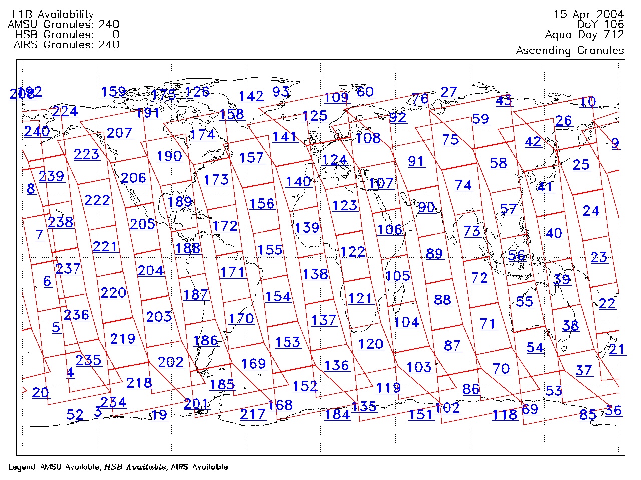
| AIRS.2004.04.15.GranuleMap.Ascending.jpg | 2012-06-06T18:01:48GMT | 657630 |
|
||||||
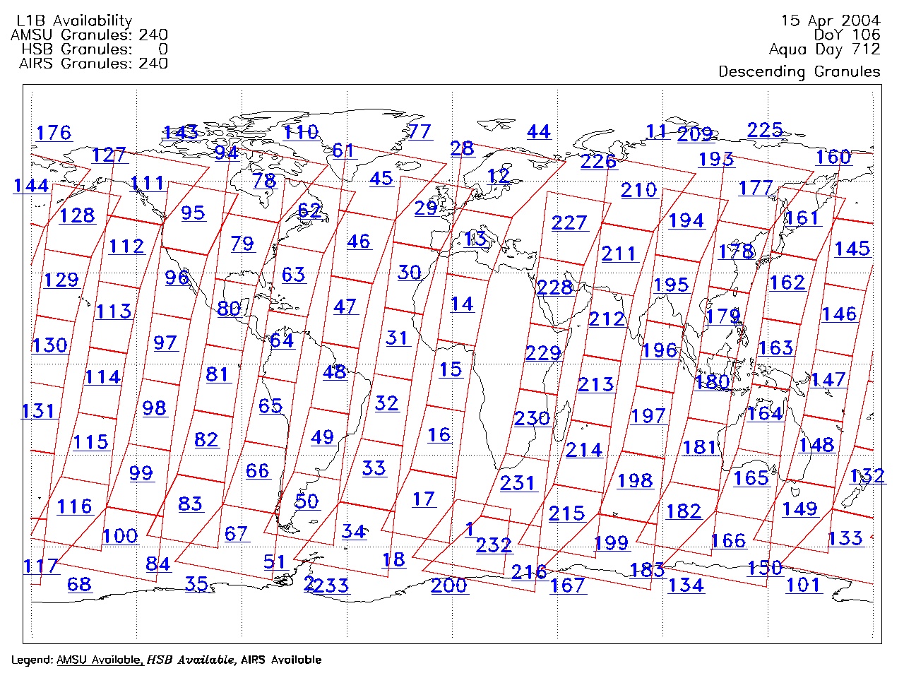
| AIRS.2004.04.15.GranuleMap.Descending.jpg | 2012-06-06T18:01:48GMT | 625710 |
|
||||||
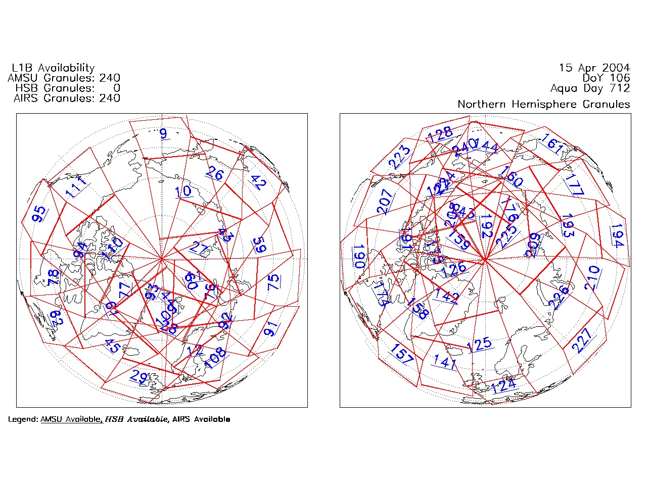
| AIRS.2004.04.15.GranuleMap.North.jpg | 2012-06-06T18:01:48GMT | 526776 |
|
||||||
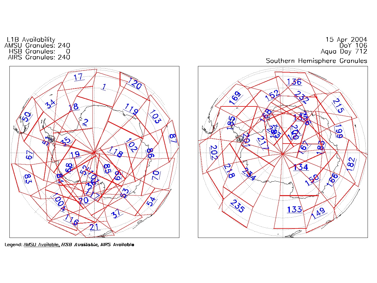
| AIRS.2004.04.15.GranuleMap.South.jpg | 2012-06-06T18:01:48GMT | 502163 |
|
||||||
| AIRS.2004.04.15.GranuleMap.pdf | 2012-06-06T18:01:48GMT | 333057 |
|
||||||
| AIRS.2004.04.15.GranuleMap.xml | 2012-06-06T18:01:48GMT | 2530 |
|
|
THREDDS Catalog XML
|