| Name | Last Modified | Size | DAP Response Links | Dataset Viewers | |||||
|---|---|---|---|---|---|---|---|---|---|
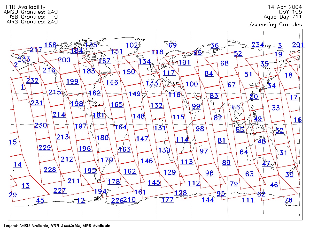
| AIRS.2004.04.14.GranuleMap.Ascending.jpg | 2012-06-06T18:01:48GMT | 628609 |
|
||||||
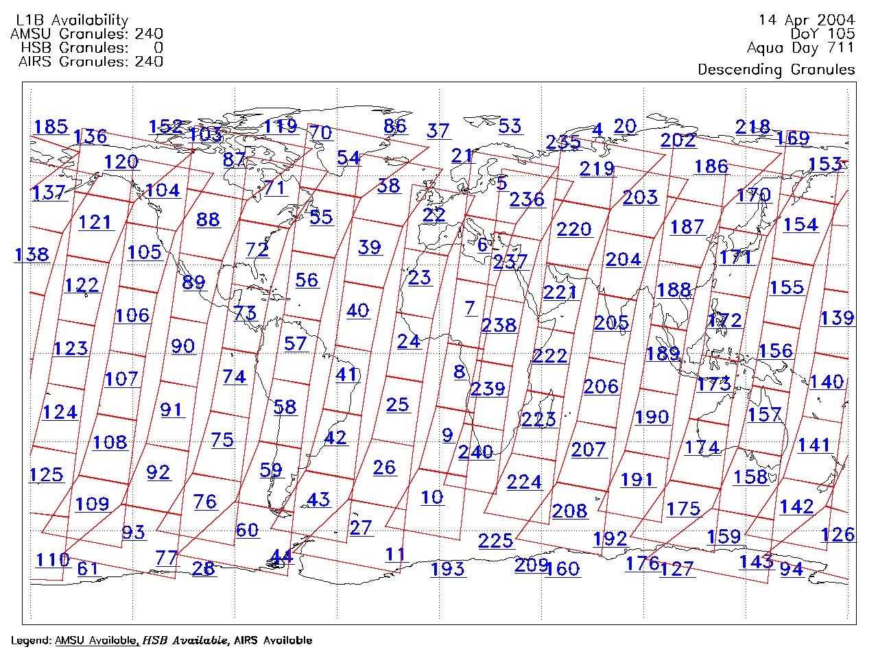
| AIRS.2004.04.14.GranuleMap.Descending.jpg | 2012-06-06T18:01:48GMT | 653708 |
|
||||||
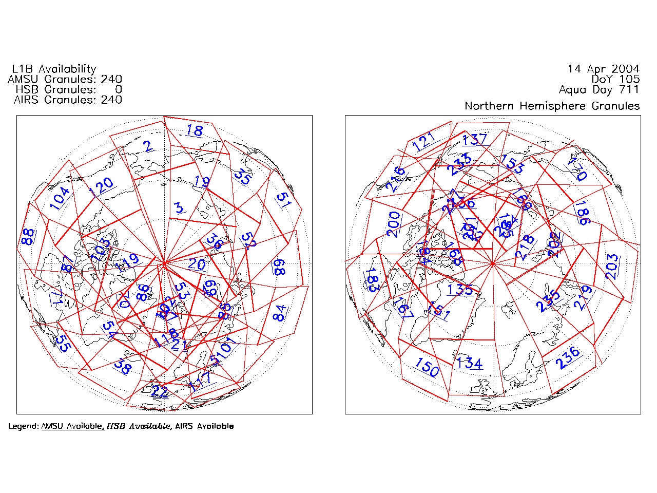
| AIRS.2004.04.14.GranuleMap.North.jpg | 2012-06-06T18:01:48GMT | 536651 |
|
||||||
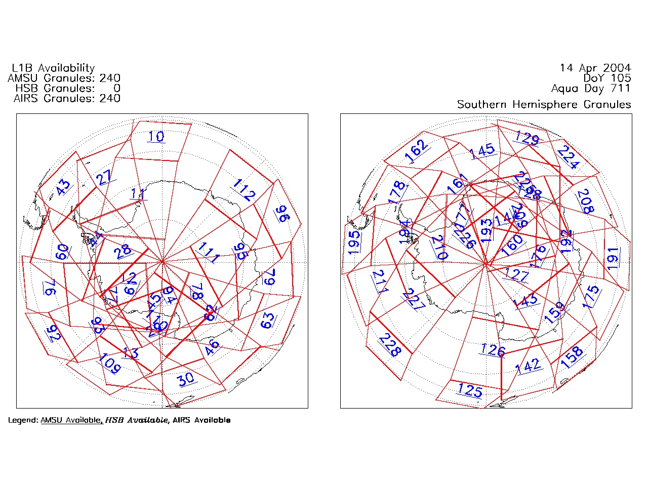
| AIRS.2004.04.14.GranuleMap.South.jpg | 2012-06-06T18:01:48GMT | 494150 |
|
||||||
| AIRS.2004.04.14.GranuleMap.pdf | 2012-06-06T18:01:47GMT | 333235 |
|
||||||
| AIRS.2004.04.14.GranuleMap.xml | 2012-06-06T18:01:48GMT | 2533 |
|
|
THREDDS Catalog XML
|