| Name | Last Modified | Size | DAP Response Links | Dataset Viewers | |||||
|---|---|---|---|---|---|---|---|---|---|
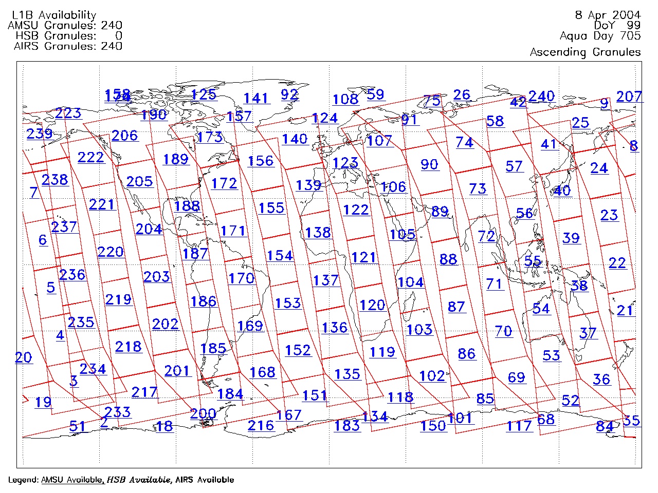
| AIRS.2004.04.08.GranuleMap.Ascending.jpg | 2012-06-06T18:01:37GMT | 656062 |
|
||||||
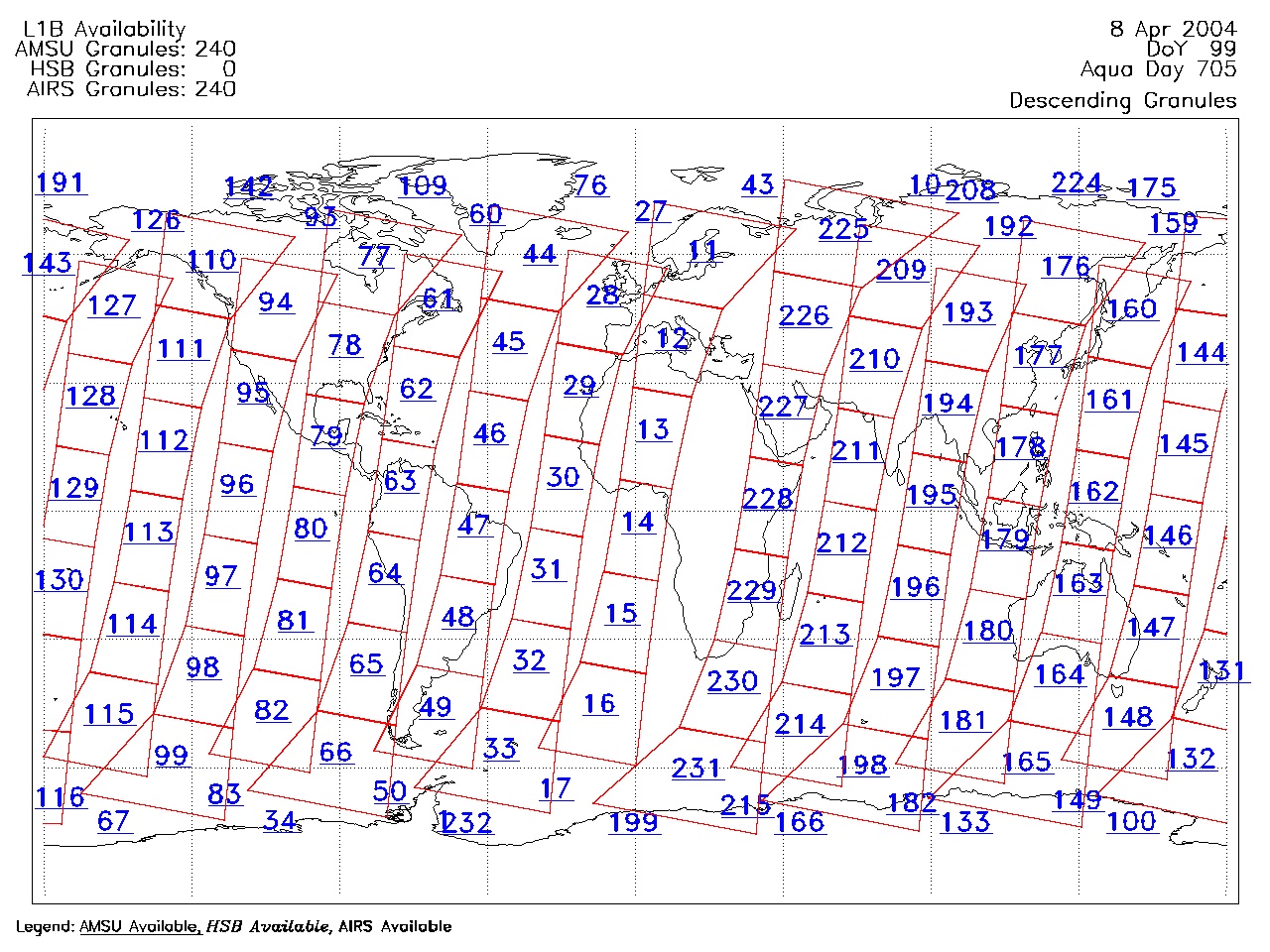
| AIRS.2004.04.08.GranuleMap.Descending.jpg | 2012-06-06T18:01:38GMT | 625219 |
|
||||||
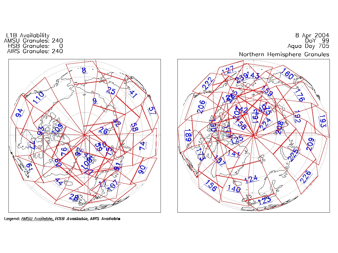
| AIRS.2004.04.08.GranuleMap.North.jpg | 2012-06-06T18:01:38GMT | 530340 |
|
||||||
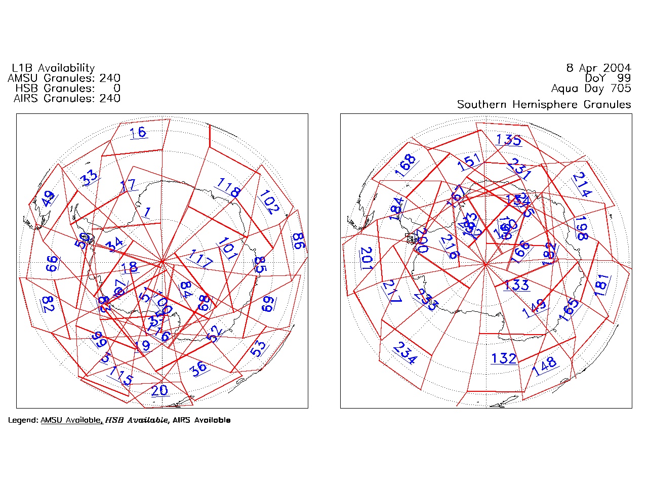
| AIRS.2004.04.08.GranuleMap.South.jpg | 2012-06-06T18:01:38GMT | 494456 |
|
||||||
| AIRS.2004.04.08.GranuleMap.pdf | 2012-06-06T18:01:37GMT | 333228 |
|
||||||
| AIRS.2004.04.08.GranuleMap.xml | 2012-06-06T18:01:38GMT | 2532 |
|
|
THREDDS Catalog XML
|